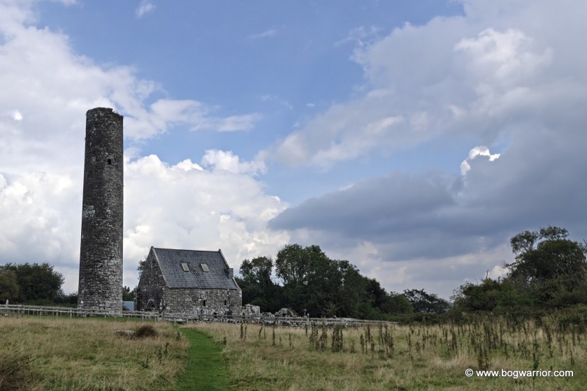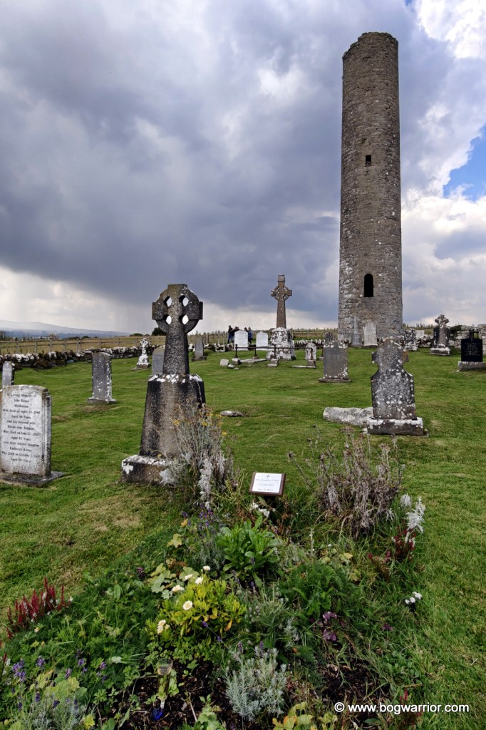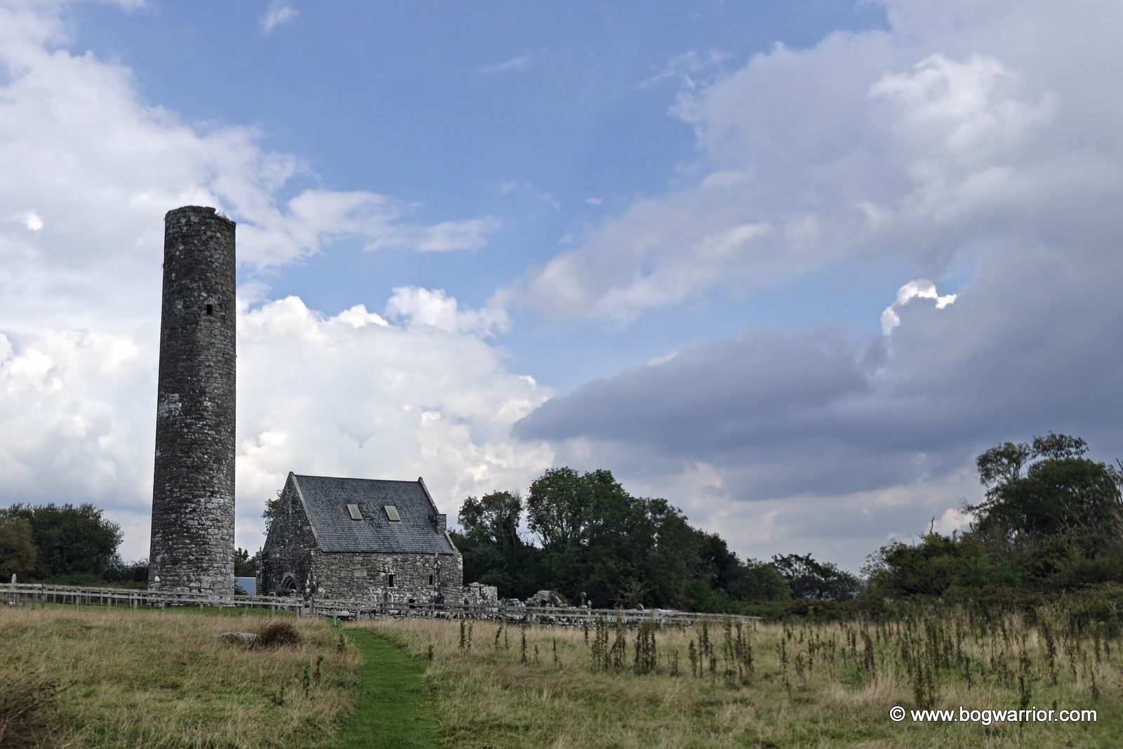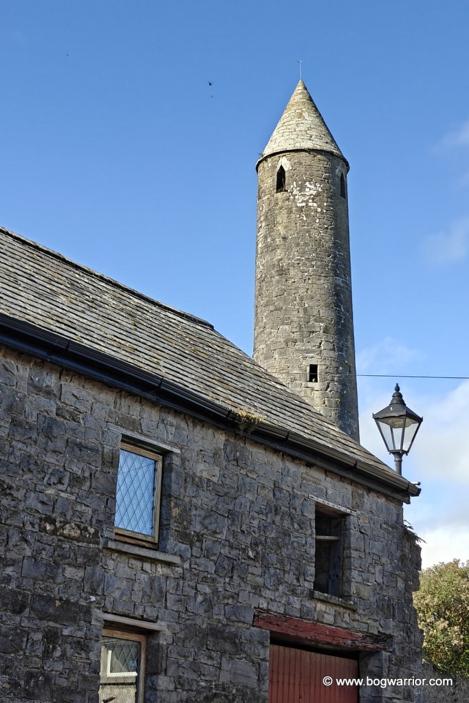
Killala was the last of the five Mayo round towers for me. I visited it in September, so it was nice to finally cross it off the list and mark Mayo as done.
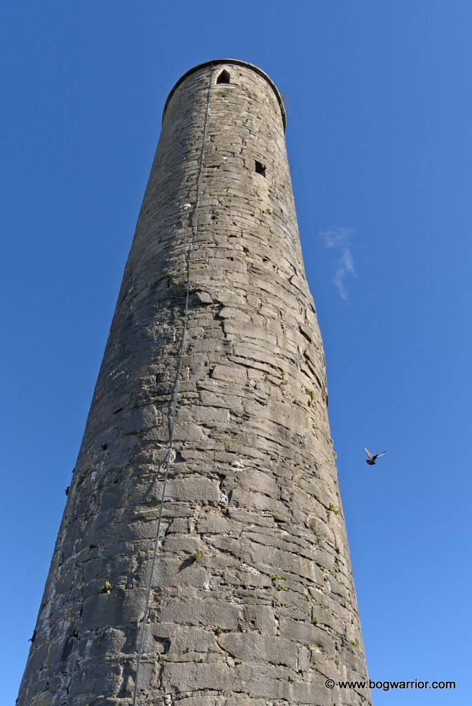
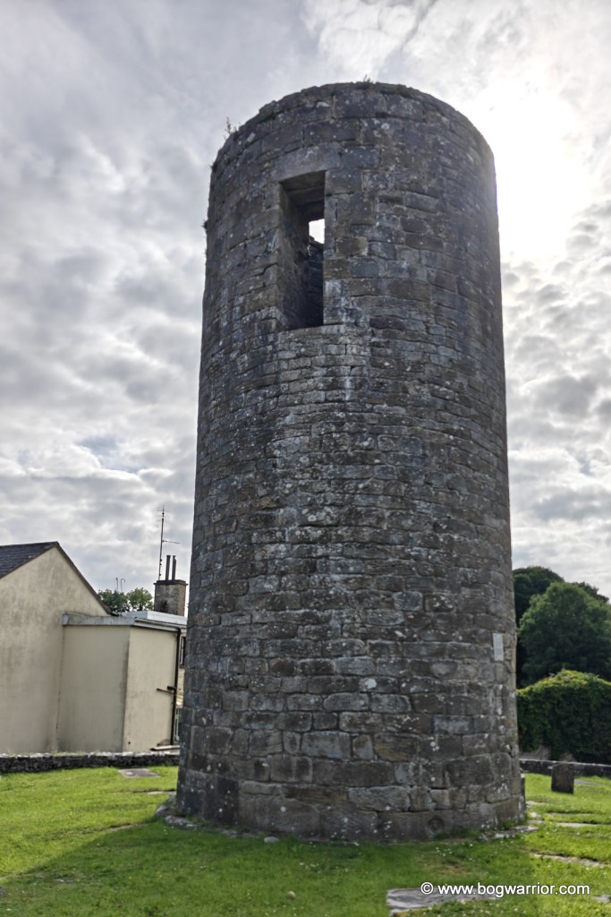
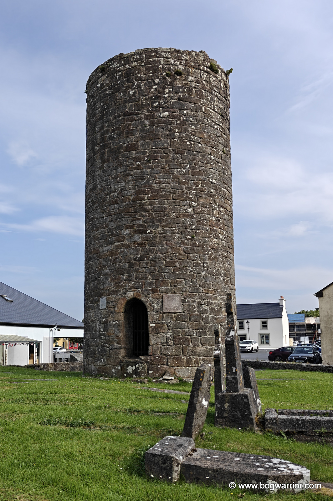
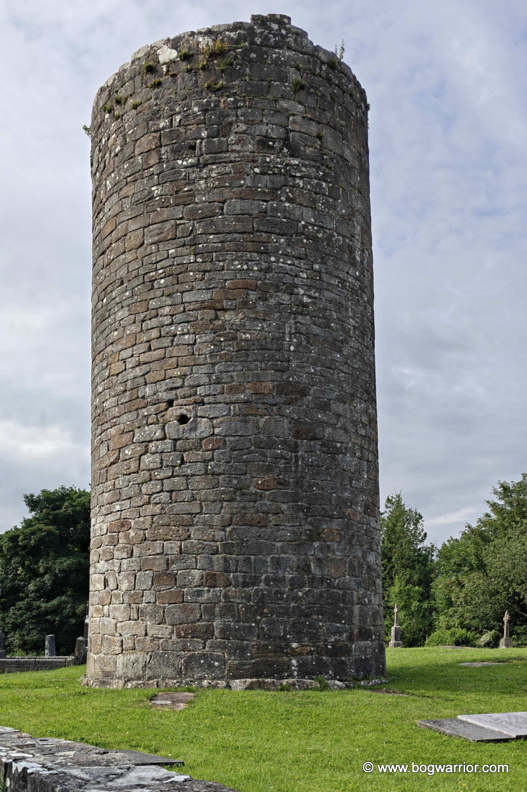
This one is impossible to miss. It towers (ha!) over the town and is in wonderful condition. Unlike all too many of these towers, it is complete and still has its cap.
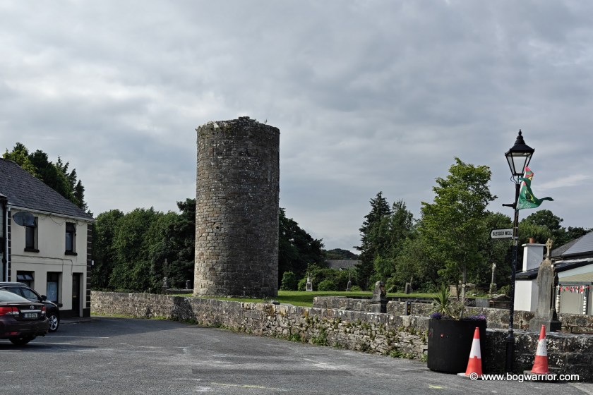
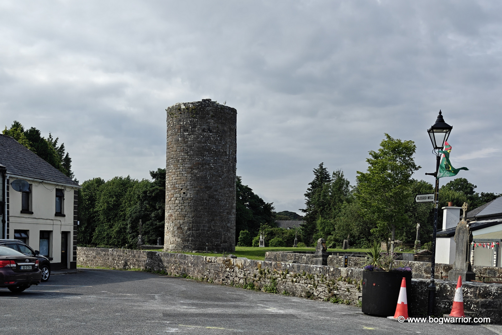
The tower, as seen from the side street
The frustrating thing is the location. It’s just off a side street and at the top of some stone steps. It’s jammed into a small yard with very little room around it, which just feels like a waste of a really good tower. You can get a good look at it up close and personal, but there’s no room to stand back and enjoy it properly.
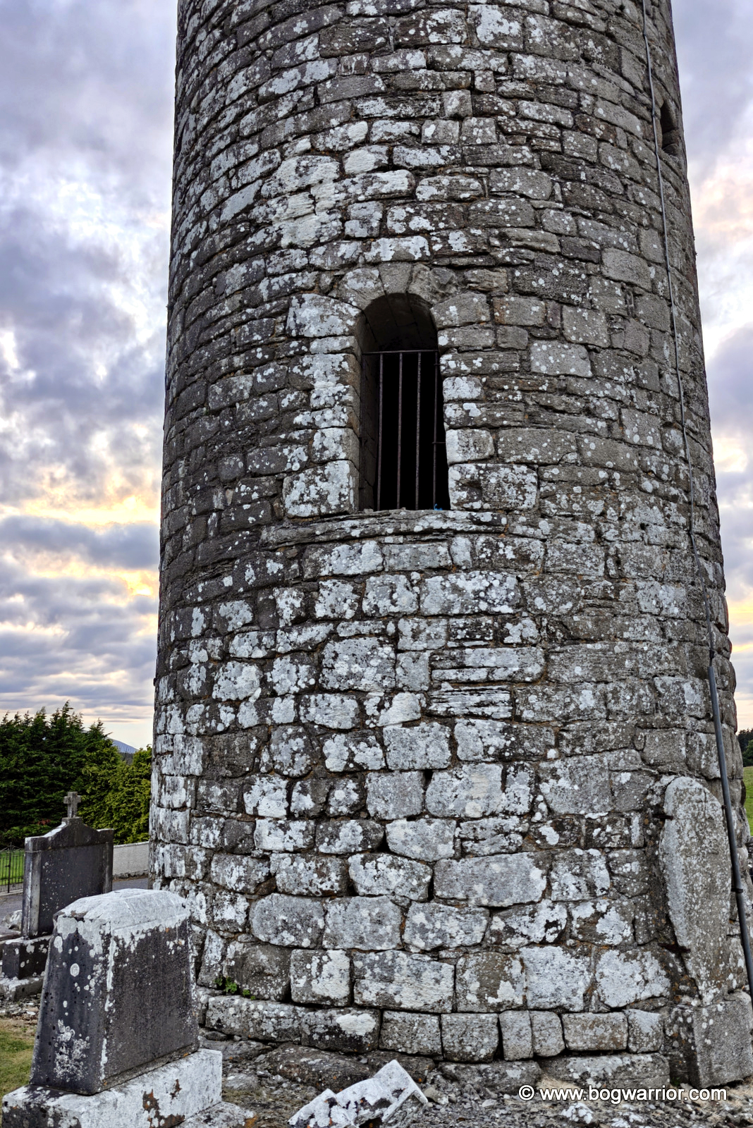
What the tower looks like when you climb the steps
Some repairs were carried out in the 19th century, including the restoration of the cap (roof). The caps fell in on most of these towers but were later reinstated. At least they did a good job here, unlike the one in Swords, where the restored cap looks like the round tower equivalent of the infamous Spanish fresco restoration fail.
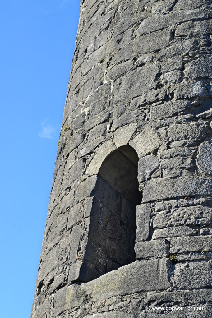
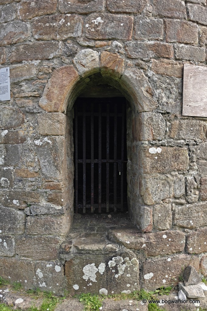
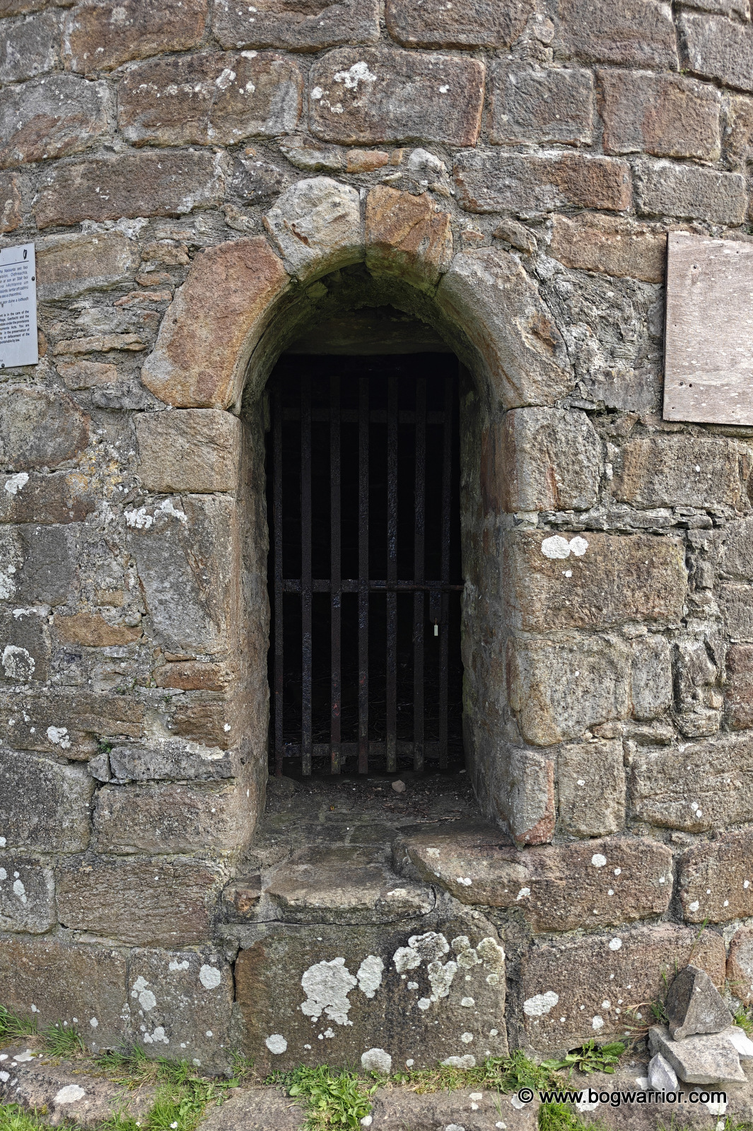
The doorway of the tower
The ruins of Rosserk Abbey are 8km down the road. There is a small carving of a round tower on a piscina (stone basin) there, and it’s thought to depict this tower.
Getting There
Drive into Killala and look up. It’s hard to miss! Big tower, hill...you get the idea. There is a car park beside the nearby Church of Ireland cathedral. On the off-chance you can’t find the tower, they’ve signposted it
The Mayo round towers have been remarkably easy to find so far. More importantly, they haven’t involved too much driving on narrow country roads. Even as a seasoned driver who’s used to those roads, there are times when I question my decisions and pray that there’s nobody coming in the opposite direction.
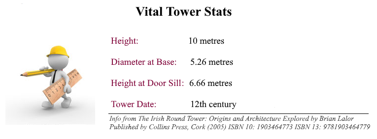
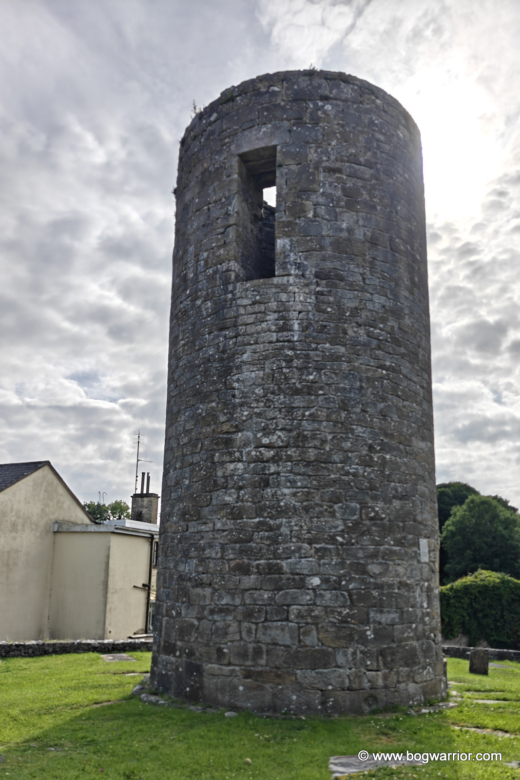
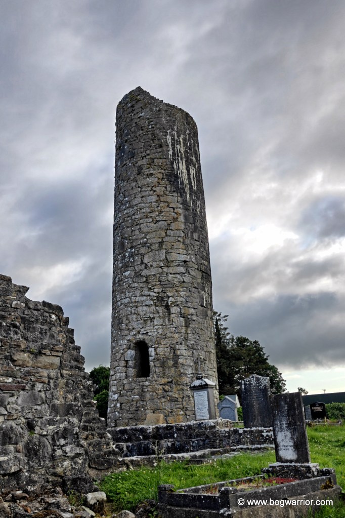
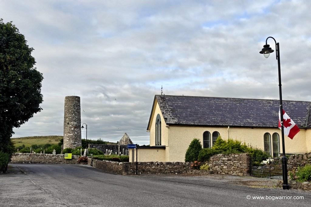
The village was on my route home, and for a change I didn’t need help from certain navigation apps from evil tech giants. Despite the tower being only about 10m tall nowadays, I spotted it from a distance and pulled the car up in the square beside it. The monastery at Balla was founded by St Mochua, who died in 637. The church was burnt in 780 and again in 1179. The round tower is all that survives from the monastery.
Approaching from the square
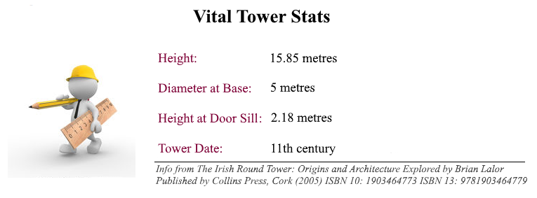
The tower stands in a beautifully maintained old graveyard in the centre of the village. It is believed to have been about 15m tall as recently as the 19th century, and we know that a bell was installed here during the 1830s. It must have been considerably taller originally, but exactly how tall it was is another question. With the passage of time, who knows? Like the tower at Aughagower, just 30 km away, this one has two doorways.
Brian Lalor’s excellent book on Ireland’s round towers has been an invaluable companion on these trips and on this blog. He rather tantalisingly describes Balla as a “rogue tower”, which immediately made my ears prick up. Well, as much as a human’s ears can without looking ridiculous.
Part of the answer seems to lie with the original upper doorway. Lalor points out that it is lintelled, something more commonly found in some of the earlier round towers. But in Balla’s case, the doorway appears to have been altered while the tower was being built, rather than being part of the original design.
The masonry also suggests that the tower was built in several phases. So even before it was finished, it seems to have been going off-script.
The original doorway
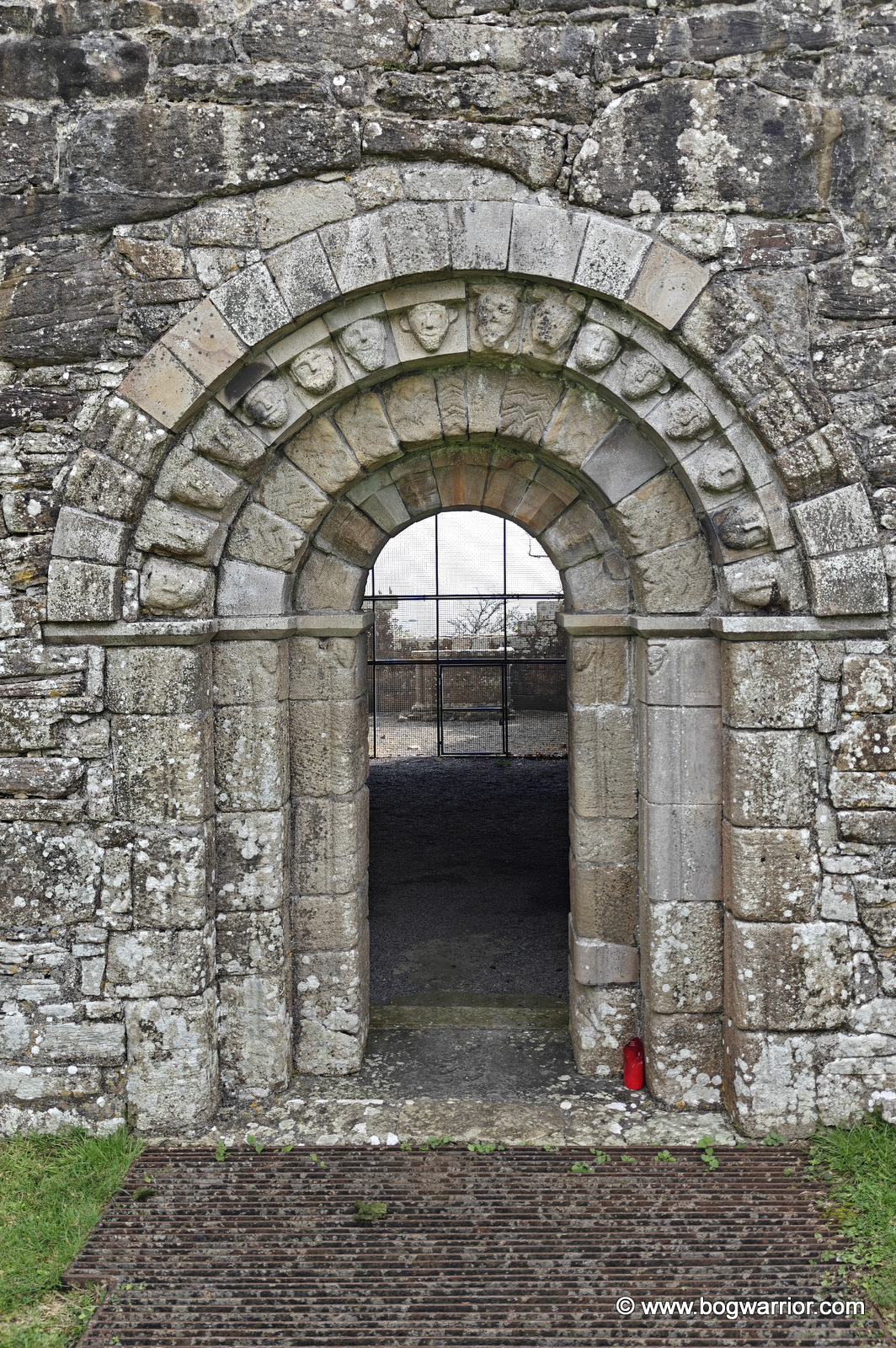
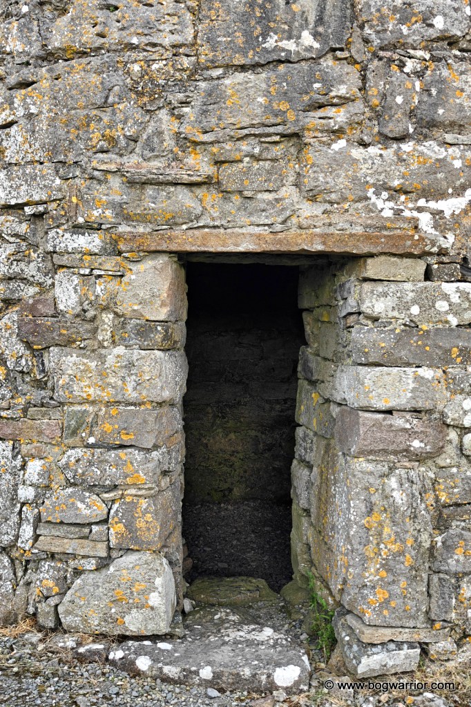
The second doorway is unusual too. In most round towers, the later ground-level doorway tends to be the crude one, while the original elevated entrance is the more carefully finished of the two. At Balla, it’s the other way around. The ground-level doorway is thought to date from the 16th century, and it’s a very nice piece of work. Part of it also appears to incorporate a piece of an early mediaeval cross slab that has been reused in the construction. Carrying on with the recycling theme, there are a couple of stones in the walls that look very much like bullauns. The tower also has what appears to be a very small window, or a gun loop, in the south-facing wall. Hmm.
Balla round tower lower doorway
For a truncated tower with no crumbly old companions left in the vicinity, it has a lot going on. Even if you’re not a round-tower fanatic – like most regular people 😁 – it’s worth a quick detour if you’re on the road.
Getting There
The village of Balla is on the N60, roughly half way between Castlebar and Claremorris. It’s just off the village square, so it’s a piece of cake to get to.
If you read my post about my visit to Turlough round tower, you might remember me banging on about arriving so late in the evening that everything else had already closed. As a reminder of just how insanely long summer evenings are in Ireland, I managed to find time to visit the round tower at Meelick on that very same evening.
Meelick Round Tower
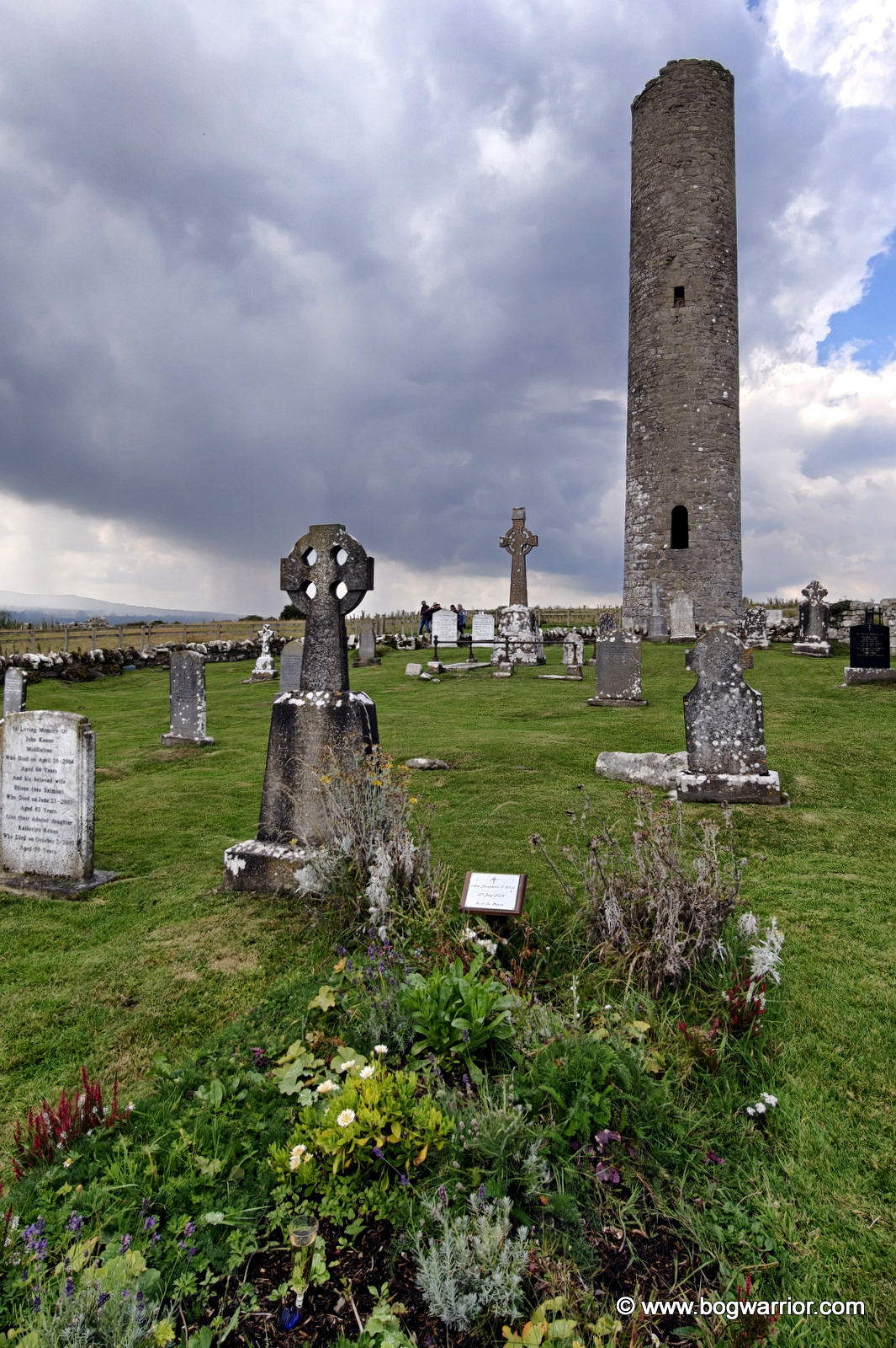
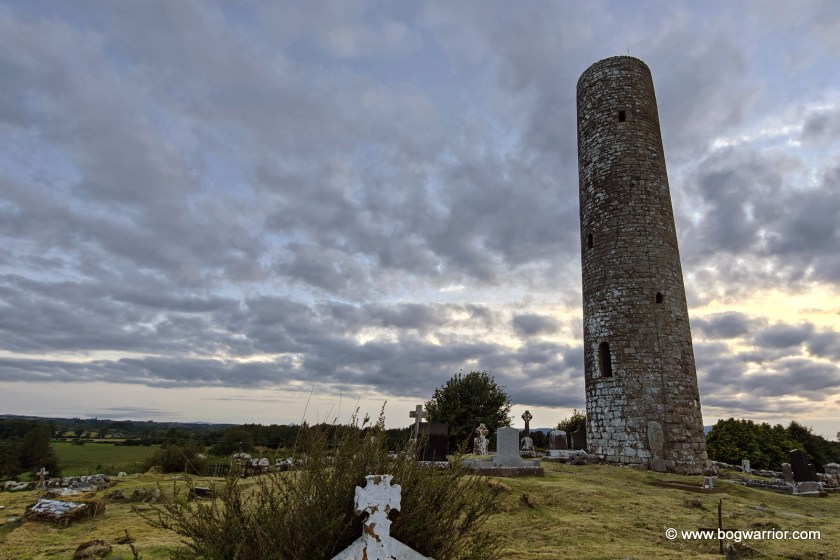
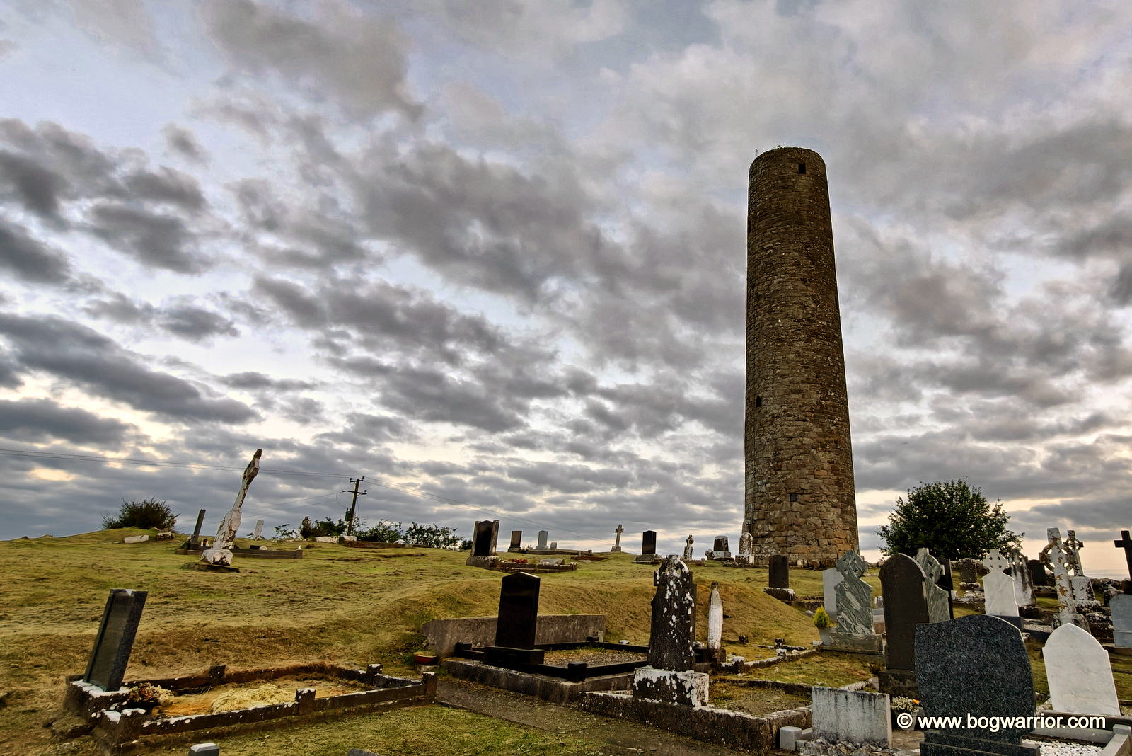
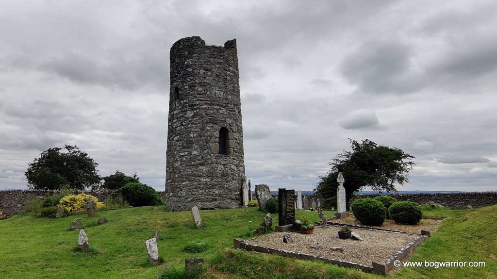
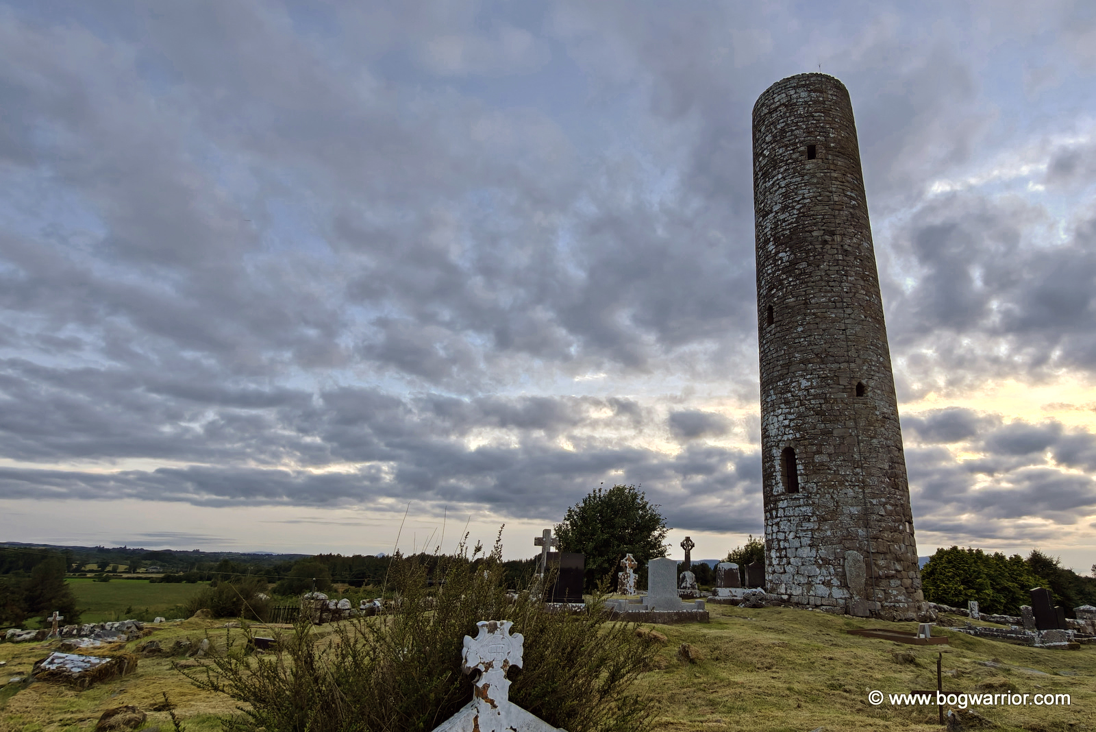
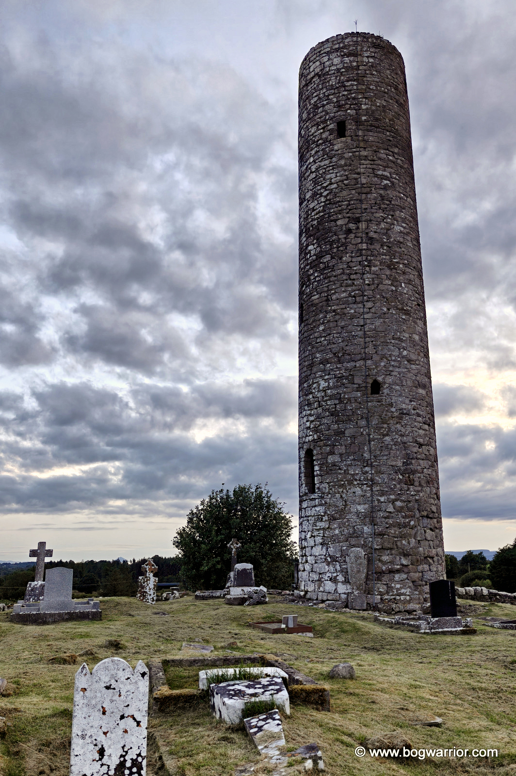
Meelick’s tower stands in a lovely, peaceful old graveyard on a hill out in the countryside. The modern cemetery is across the road, both sitting quietly alongside a country road with little to disturb the peace.
A word of praise is also due to whoever looks after the graveyard. The ground around the tower is far from even, but the grass has been cut beautifully. Whoever is responsible for keeping this place mown is a lawn-mowing hero!
As with Turlough, very little is known about the monastery that once stood here. We don’t know who founded it or when exactly it was established. In fact, the round tower is now all that remains of the monastic site.
And it is an impressive survivor. Although Meelick’s tower has lost its cap, it still cuts a fine dash, rising about 21 metres above the surrounding countryside. From its position on the hill, it has a commanding view over the fields and landscape around it.
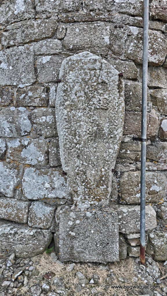
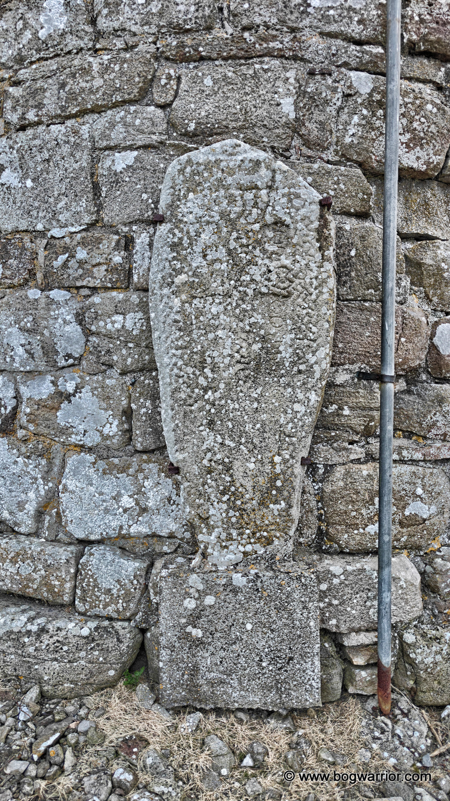
There is an interesting little detail on the eastern side of the tower. Attached to the wall is an old cross slab, thought to bear the inscription “Or do Gricour”, interpreted as meaning “A prayer for Gricour”. It is a small surviving fragment of the community that once existed here, and perhaps the closest thing we have to a name from Meelick’s early history.
The rather old grave slab
There isn’t a huge amount left to see at Meelick, but that is part of what makes the place appealing. There is no ruined church crowding the round tower, like in Turlough, or anything else other than graves and the lovely countryside.
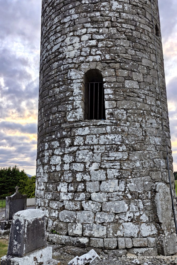
Doorway of Meelick Round Tower
By the time I was taking my photographs, the light was finally beginning to fade. This caused my phone to overcook the photos and made them look like those HDR pics which were all the rage years ago. You know the ones. I’ve tried to calm the photos down afterwards, but there’s only so much you can do. Perhaps it’s an excuse to call back next time I’m in Mayo.
Getting There
The round tower is on a quiet country road and is easy to find. There’s plenty of parking, helped by the presence of the modern-day cemetery across the road.
One of the nice things about going round tower hunting on a long summer’s evening is that there is time to pack lots of sightseeing in. The downside, of course, is that there is also plenty of time to spot places that look interesting but have been closed for hours.
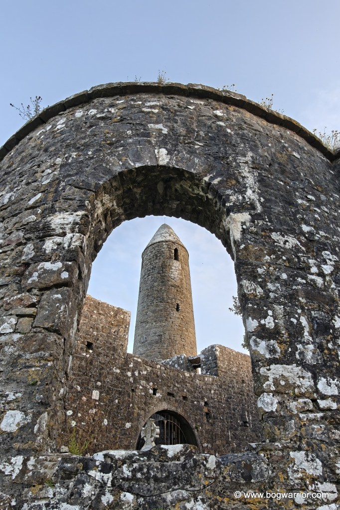
The tower, as seen from the entrance gate
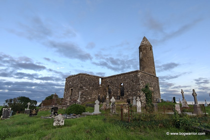
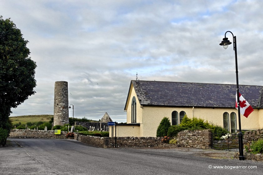
The round tower I was in search of was the one on a hill overlooking the village of Turlough, Co. Mayo. To get there, I had to drive past the gates of The Museum of Country Life. It looked like a place worth visiting, but it had sensibly been closed for hours by then.
Happily, the graveyard where Turlough’s round tower stands is open at all hours. There are no neighbours to annoy, either inside or outside the cemetery walls, which is always a good thing. Allegedly.
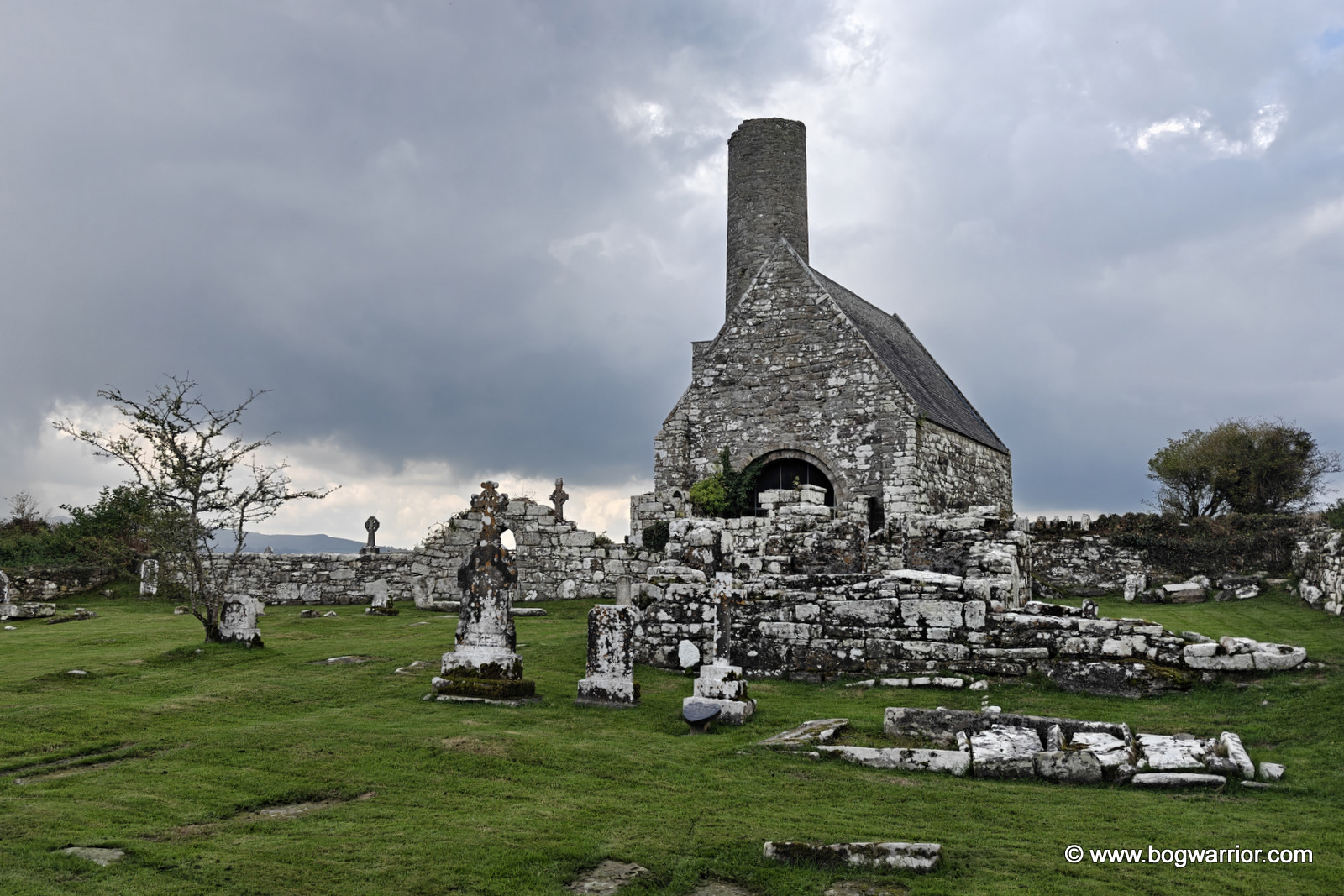
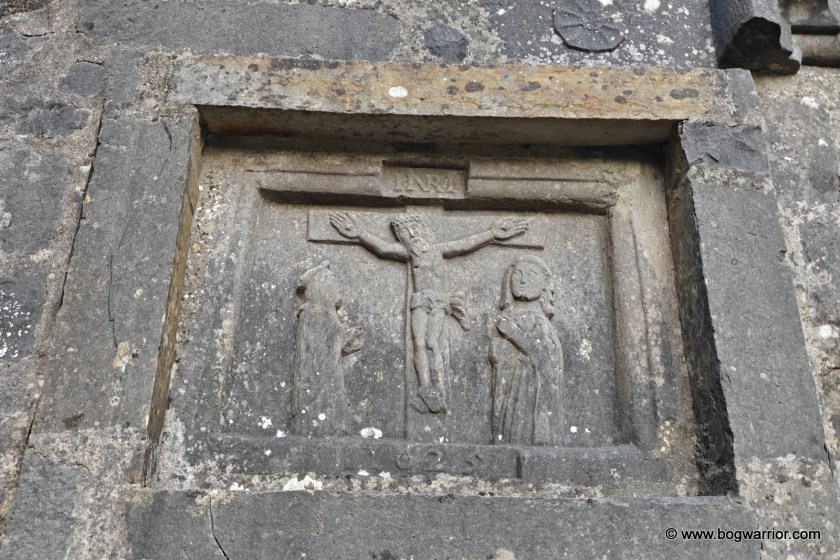
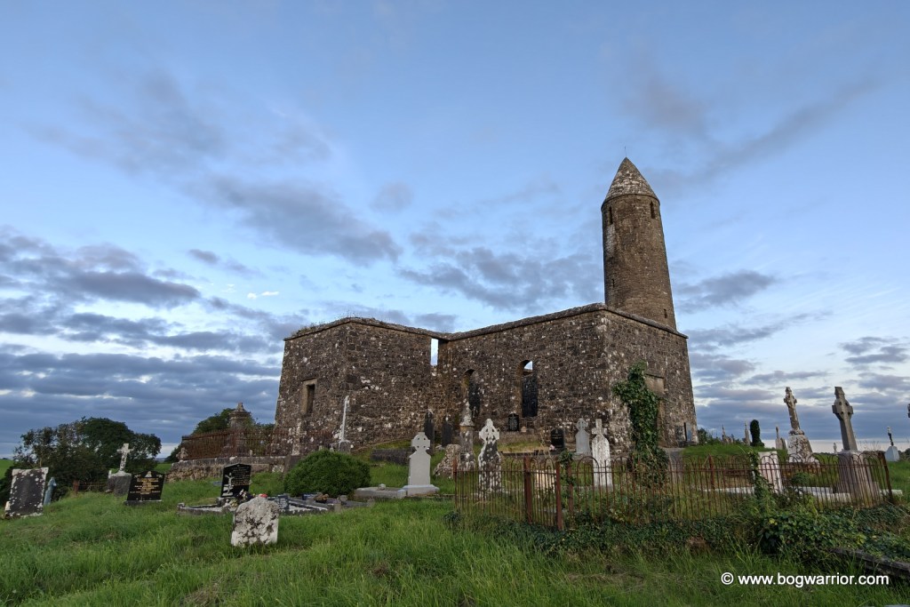
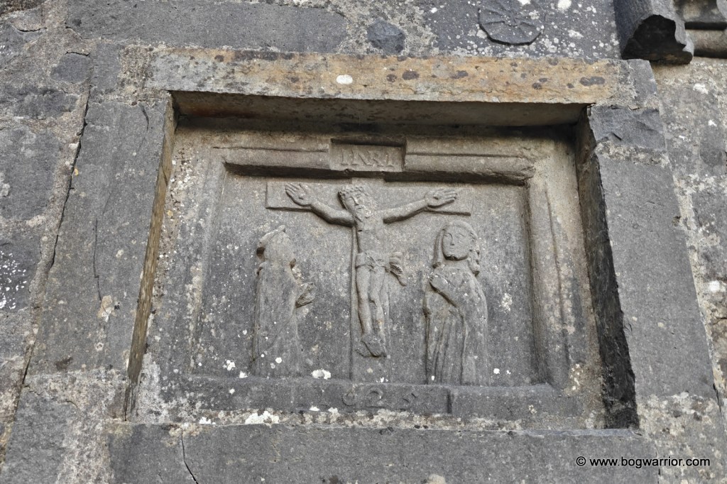
The tower stands on top of a hill beside the remains of a ruined church. The church dates from the eighteenth century, although parts of an earlier church are incorporated into it. One of its walls has a particularly striking plaque depicting the Crucifixion, dating from 1625. “Lovely” probably isn’t the appropriate word for a scene involving crucifixion, but it is certainly an interesting piece of decoration.
1625 crucifixion plaque
Little is known about the monastery that once stood here. We don’t know who founded it or exactly when the round tower was built. Tradition has it that St. Patrick founded the original church which stood here, and that’s as good as it gets, really. What is immediately noticeable about the tower is its proportions. Unlike some of Ireland’s taller and more elegant round towers, Turlough’s is comparatively short and looks distinctly squat. It’s likely the tower’s lack of height was down to economics. Commerce was a thing even in olden times.
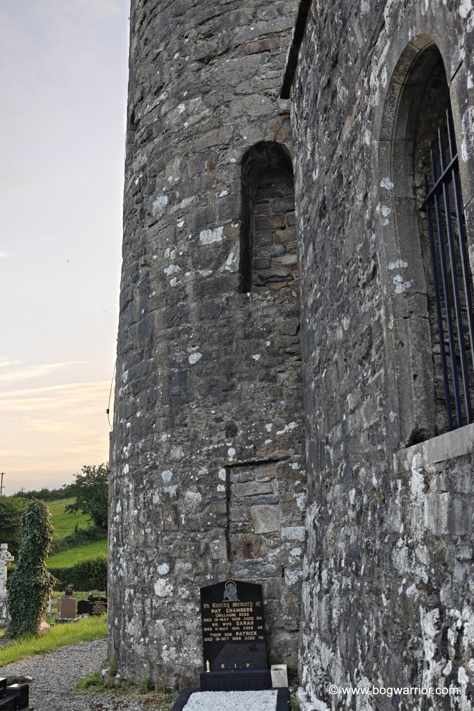
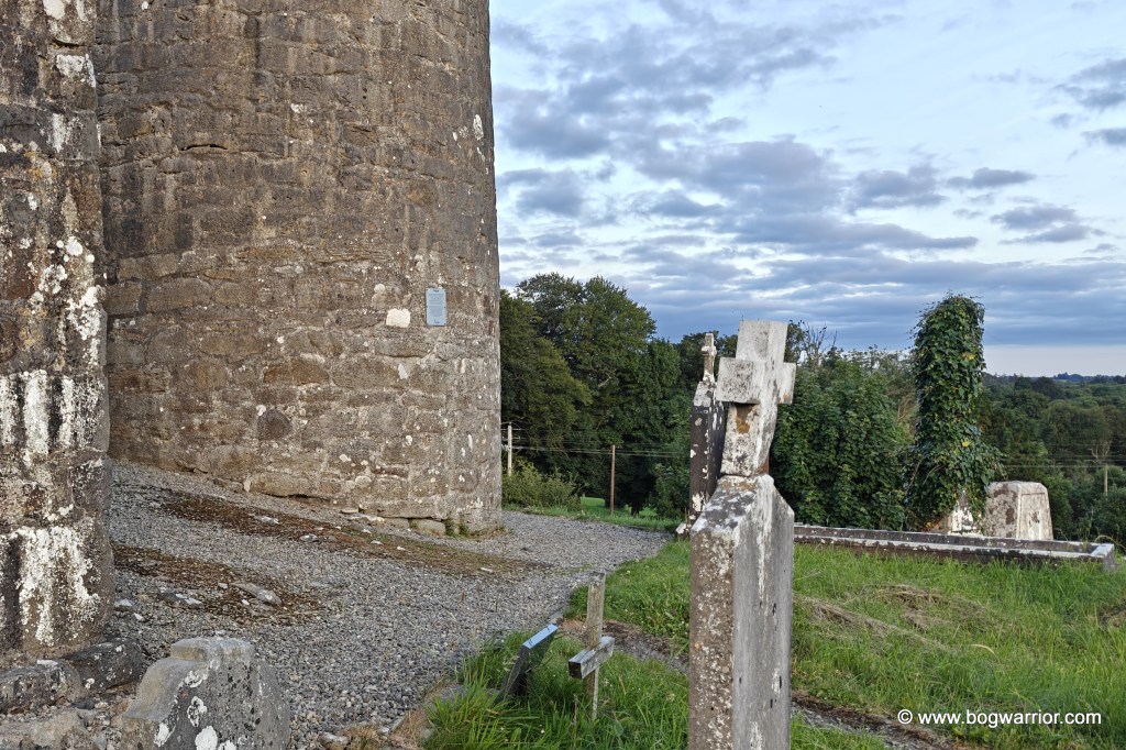
Unhappily the later church has been built right up against the tower. It actually gets in the way, literally and visually, and blocks a part of the tower. It’s one of those cases where you wish that the builder of the later church had picked a slightly different spot. Which is especially frustrating because the church is right up to the doorway of the tower, ruining what is (to me) a highlight of round towers.
The doorways
The original doorway of the tower has been blocked up, while a second doorway was added at a later date and has also been blocked. A grave now sits immediately in front of it,
The ruined church itself is locked, so there is no opportunity to poke around inside. There is still plenty to see outside, however, and the position on the hill makes the visit worthwhile even beyond the tower itself. The surrounding views are pleasant, and on a long summer evening there is little reason to hurry away.
And if you happen to arrive after the Museum of Country Life has closed, at least the round tower isn’t keeping office hours.
Getting there
This one is nice and easy to find and access. There’s plenty of room to park on the road outside.
Base of the towerThe doorwaysThe tower, as seen through a window in the church next doorThe tower, as seen from the entrance gate1625 crucifixion plaque
On a trip to Mayo, I decided to add a few more round towers to my stagnant checklist. First up was the tower at Aughagower, which is an easy one to find, standing as it does in the middle of a graveyard in a small village. As it happened, Canadian Prime Minister Mark Carney had visited Aughagower just three weeks before yours truly. There were still a few Canadian flags fluttering about, adding a bit of colour to the quiet little village.
Aughagower church, tower and Canadian flag
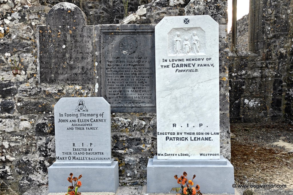
I was amused to discover that the headstones belonging to Carney’s ancestors were located in what turned out to be a remarkably convenient spot for a visiting dignitary. They had clearly received a bit of attention recently and were looking remarkably spruce — almost as if they were expecting company. A quick look at Google Street View’s 2019 imagery suggests that they hadn’t always looked quite so pristine.
This tower has been through the wars. A large breach on the northern side was repaired in the 1960s. Before the repairs were carried out, parts of the tower’s interior had been visible from the graveyard outside.
Aughagower Round tower
The tower’s original doorway also shows signs of fire damage. It’s a reminder of just how vulnerable these towers could be if someone was determined to set one alight. Shove some flammable material through the doorway, set fire to it, and — whoosh!
There is also a second doorway at ground level, added at a later date. This gives visitors the rather rare opportunity to walk straight into a surviving round tower, which isn’t something you get to do every day.
The 2nd doorway
The original monastery is said to have been founded by St Senach in the 7th century. The tower now stands beside the ruins of a church dating from the 12th to 15th centuries.
There are also two dried-up holy wells across the road from the graveyard. Works on drainage and water supply in the locality dried them up, but they’re still easy to find. The graveyard itself is quite uneven, so watch your step.
Getting There
Aughagower is 8km from Westport, and the drive takes about 10 minutes. The tower is in an old graveyard, right beside the village church. If you can’t find this one, I don’t know what I can say to you.
Gallery
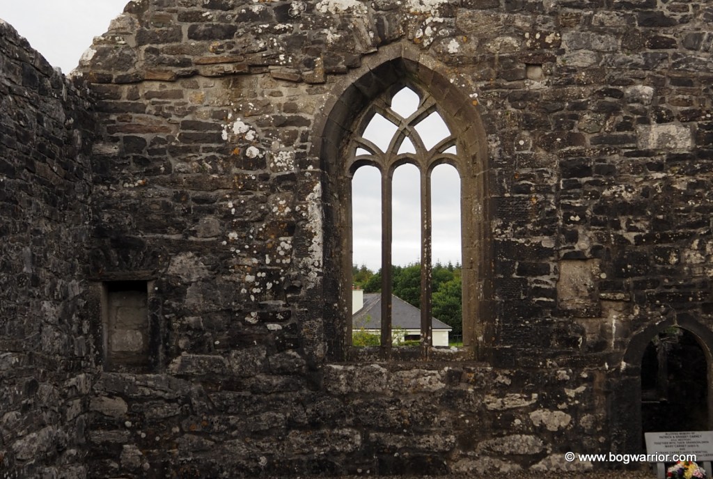
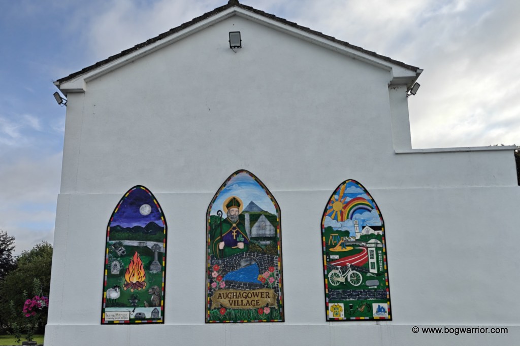
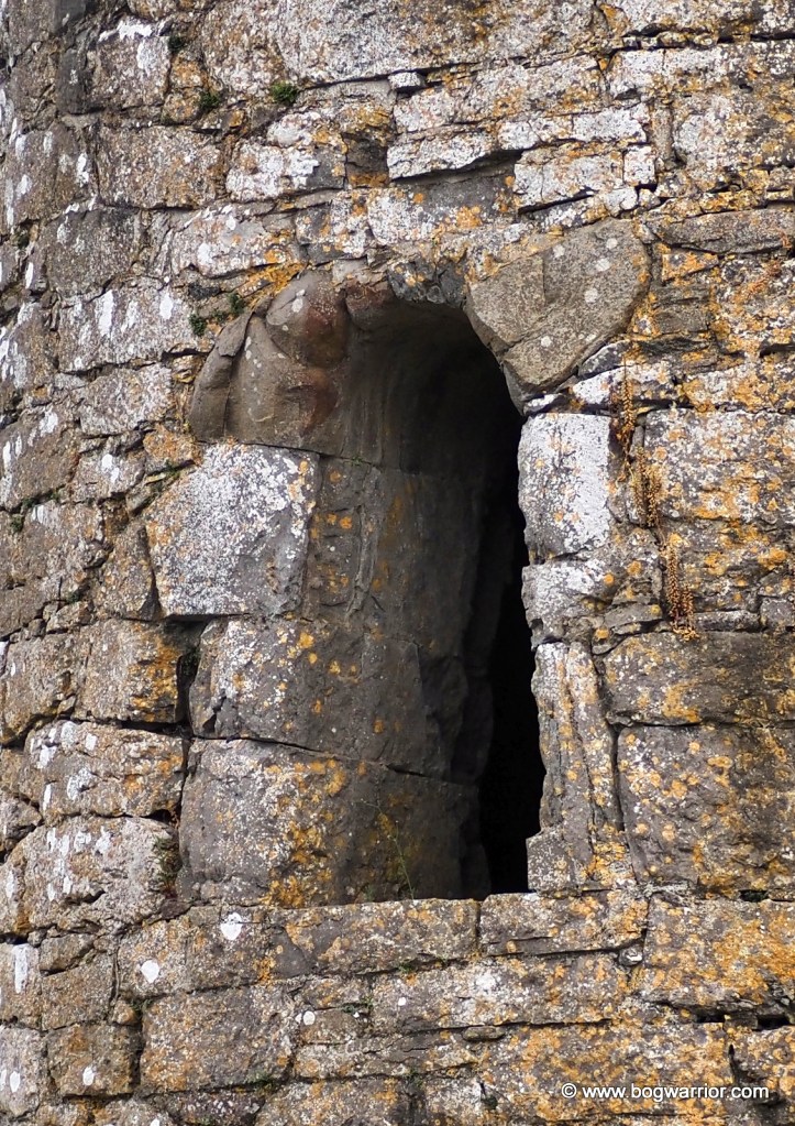
A view of the 2nd doorwayAughagower windowAughagower Tower DoorwayAughagower church, tower and Canadian flagSpruced up Carney headstonesAughagower MuralAughagower Round towerThe 2nd doorway
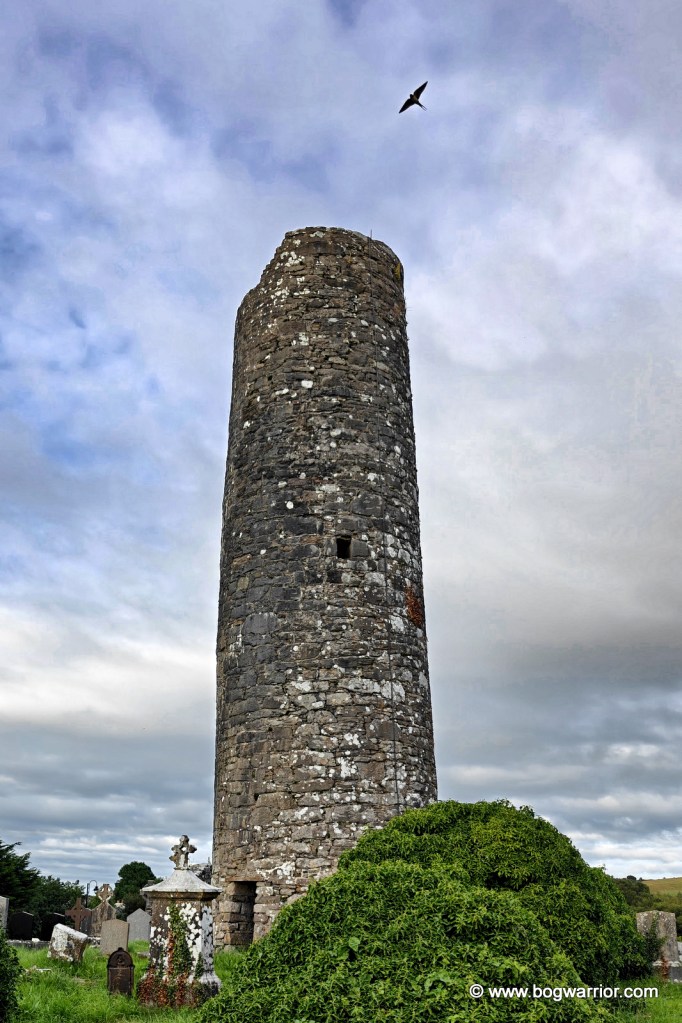
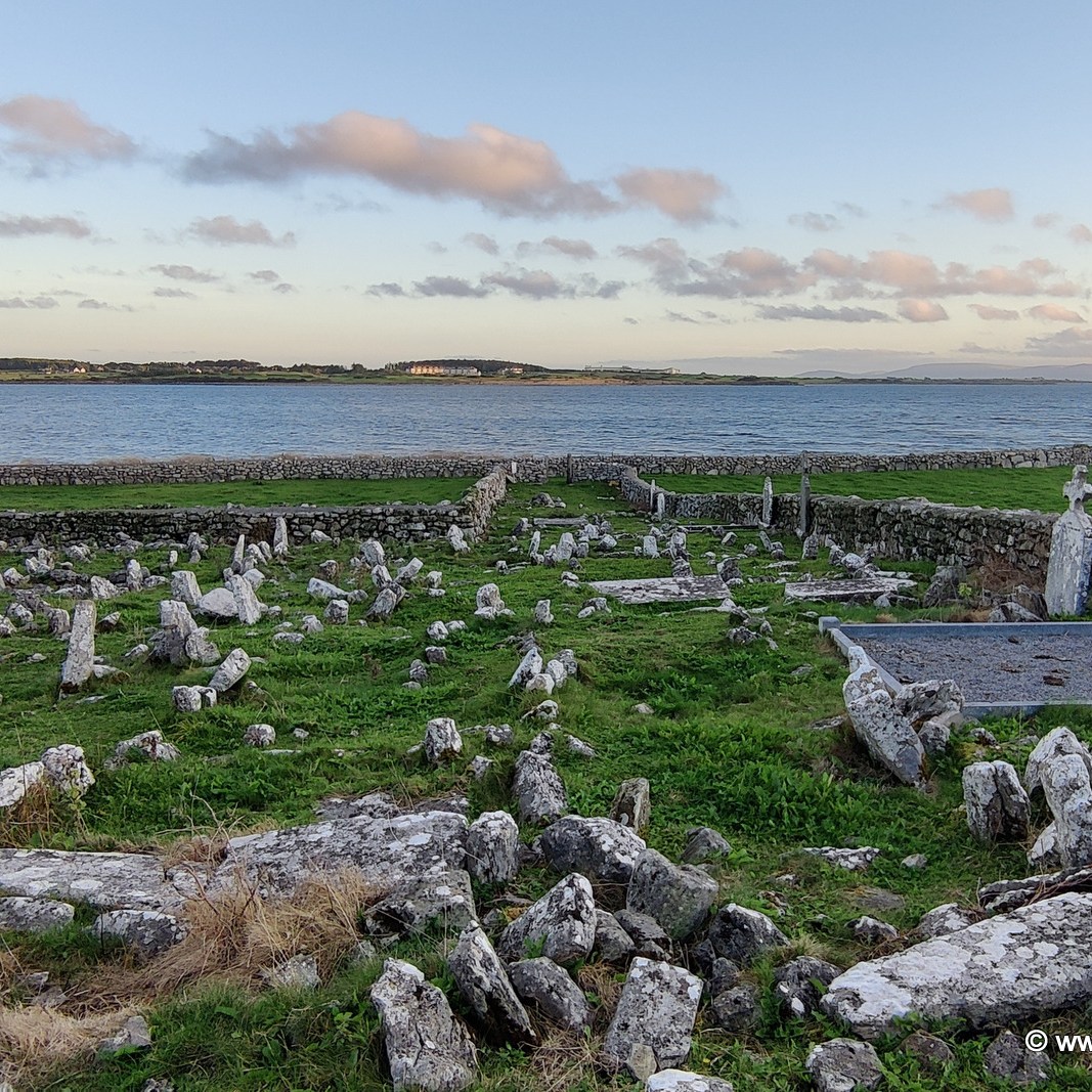
A recent trip to Galway afforded me the opportunity to “bag” another round tower. And so, I went in search of the tower at Roscam, which is on the outskirts of the city, overlooking Oranmore Bay. It’s a beautiful location, though the view is hampered somewhat by the inevitable development on the other side of the bay.
Very little is known about the monastery which once stood here. It is thought it may have been established here in the 5th century, which would make it one of the oldest monastic settlements in Ireland. It has been associated with St. Patrick (yep, that one) and with Odran, brother to St. Ciarán of Clonmacnoise. In 807, the site was attacked by those serial monastery pillagers, the Vikings. The monastery might also be where the bones of King Brión mac Echach Muigmedóin were brought to by Saint Aedus. There are question marks as to whether King Brión ever actually existed so you can make up your own mind.
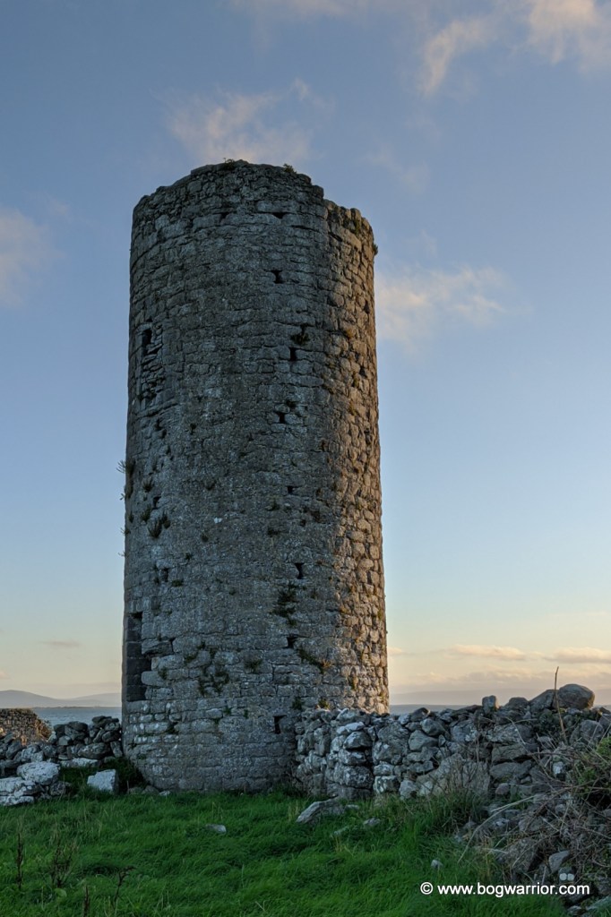
The putlock holes are still visible on the tower
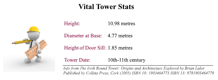
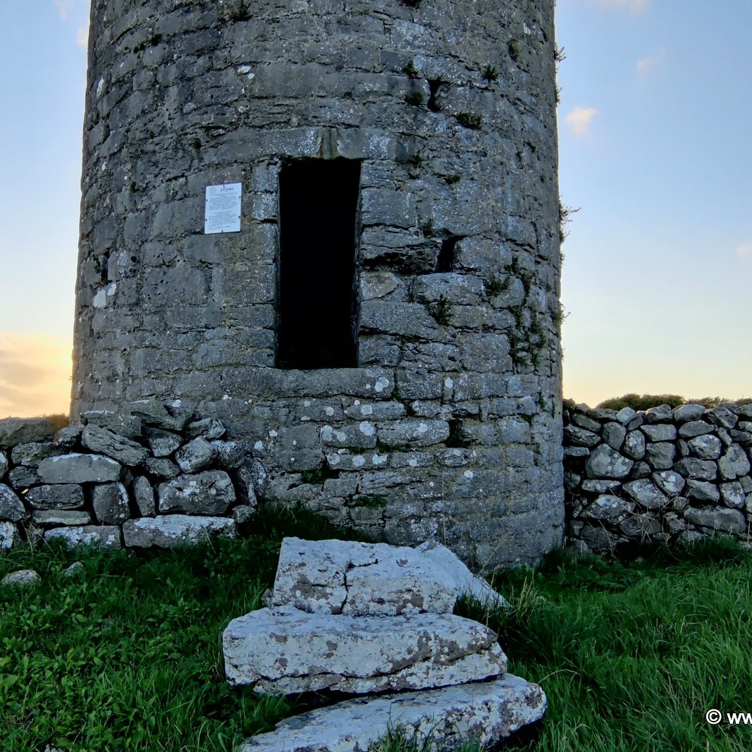
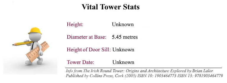
The tower stands 10.98m tall and is unusual for two reasons. One is that the lintelled doorway is quite low to the ground. The other is that the tower still has numerous putlock (or putlog) holes on its external walls. These were used to support scaffolding while the towers were being built, but were covered up afterwards. The presence of these holes in the tower raises doubts as to whether this particular one was ever finished. There is just one window in the tower, directly over the door. At some point afterwards, somebody attempted to add some height to the tower but the new stonework is not of the quality of what went before.
The church, and some company…
Close to the tower are the ruins of a medieval church. I wasn’t able to get near them because of the extensive stone walls and unclimbable gates in the area. Some of these are the remnants of ancient fortifications and they’re still doing their work effectively in 2021!
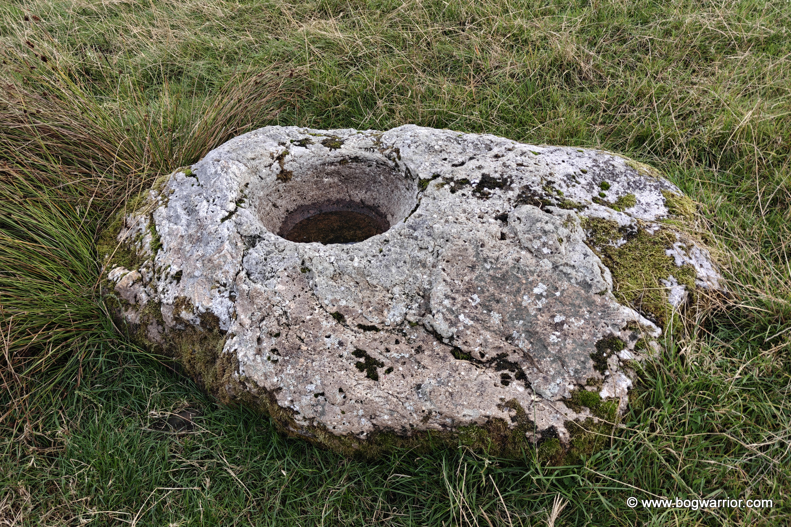
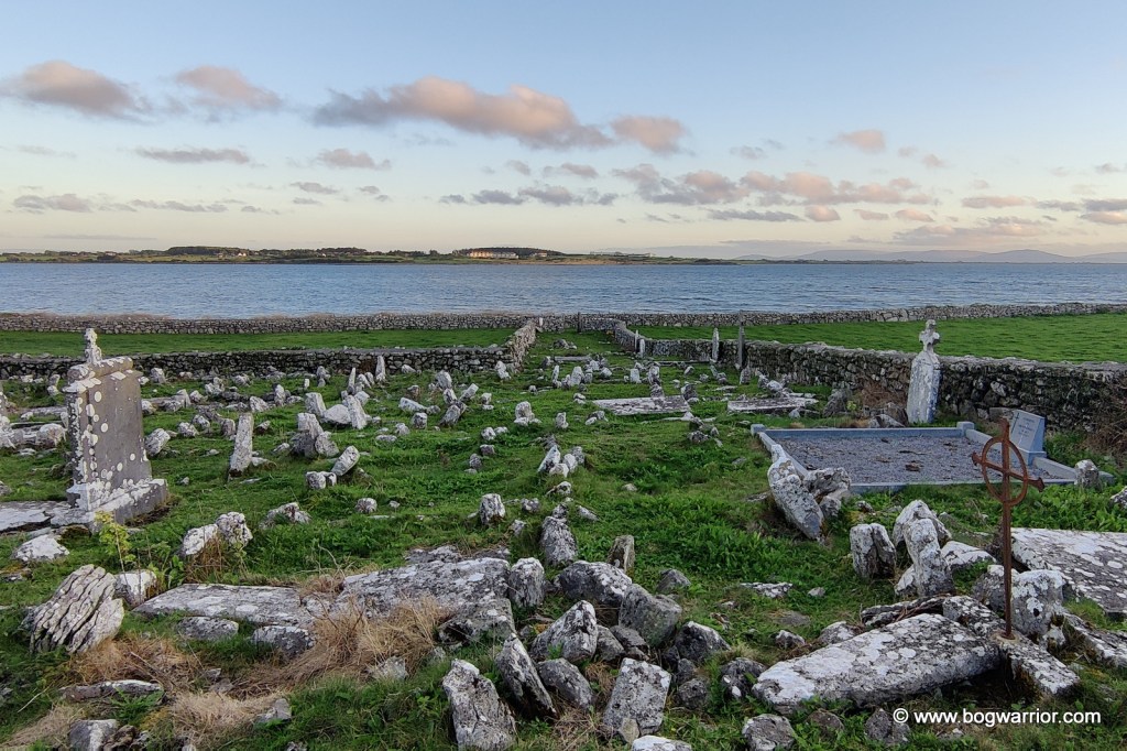
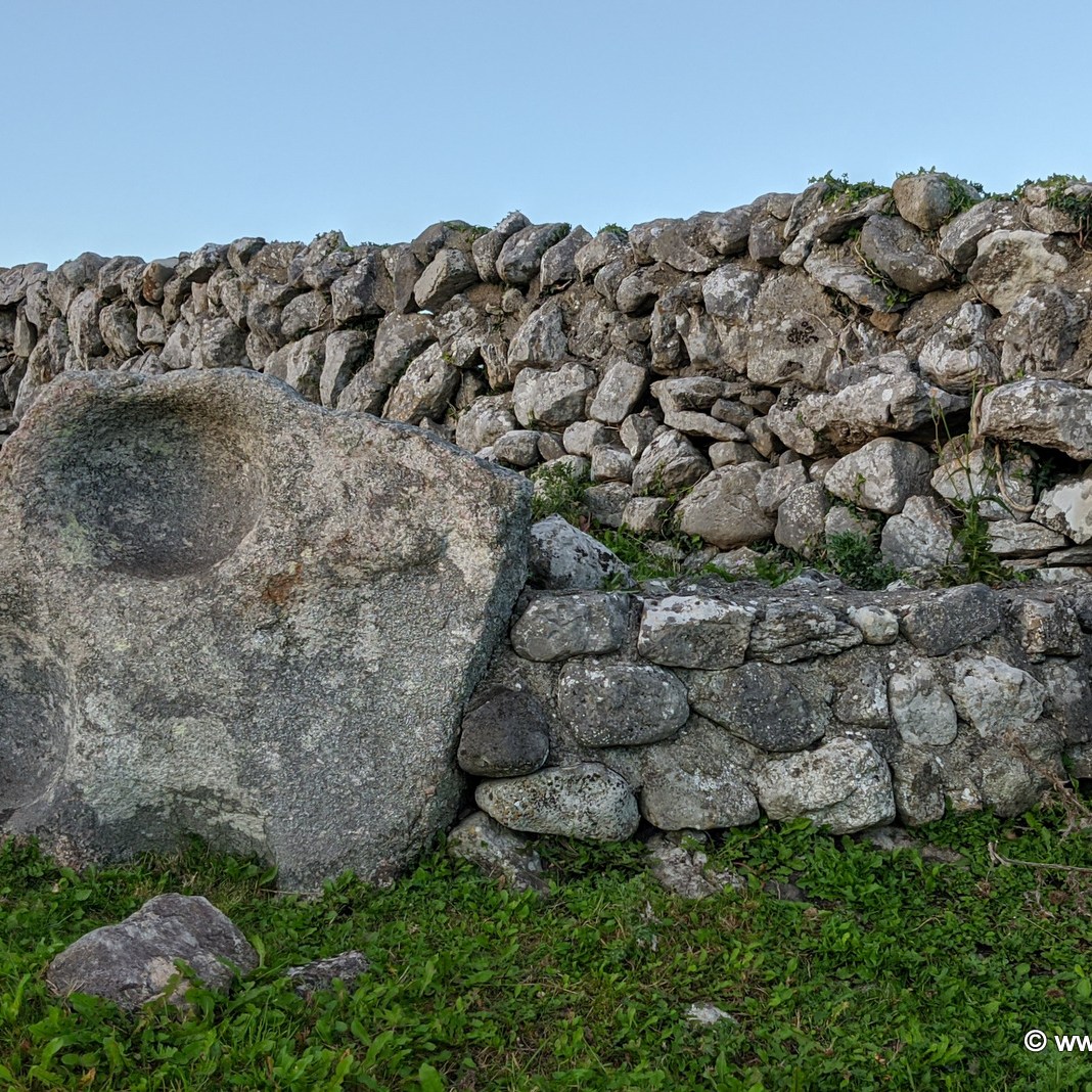
Far more interesting is the ancient graveyard which overlooks the bay. It doesn’t appear to be still in use but it looks like it was used extensively over the centuries. It’s populated with lots of broken, illegible headstones and rocks and it’s wonderful. There are two large bullaun stones in there as well, one of which is associated with St. Patrick. It seems the great snake banisher was also a dab hand at making round dents in big rocks.
One of the bullaun stones in the grave yard
By a long shot, this was the trickiest round tower to get to. For better or worse, I accessed it by driving along the Rosshill Road, then walked (carefully!) along the rocky beach that runs south of the site. Then some clambering over stone walls and navigating electric fences came into the equation. The tower is in the middle of a working farm, so naturally the animals come first.
Every now and then, a new round tower gets added to the list of known towers. In 2018, some mortar from a ruined tower in the grounds of a grammar school in Derry were radiocarbon dated. It had been thought that the tower was a ruined windmill but the analysis of the mortar revealed it to be an older building. Evidence suggests it could quite likely be a round tower that had been known to have stood in the area.
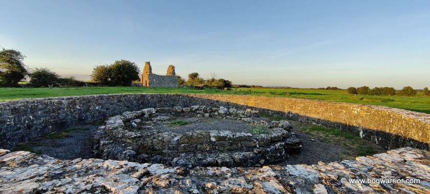
The rediscovery of the tower at Liathmore, Co. Tipperary took place nearly 50 years before this. In 1969-70 Dr. Robin E. Glasscock from Queens University, Belfast led excavations at this site. The foundations of the tower were found, along with some worked ashlars which were later used to reconstruct the base. The foundations went to a depth of 2.6 metres which is unusually deep for a round tower. As to why the tower vanished and was forgotten about, that’s anybody’s guess. Subsequent to the excavations, the Office of Public Works (OPW) reconstructed the base of the tower using the material found during the dig. The base is surrounded by a larger circular stone wall, constructed by the OPW to protect it from cattle.
The reconstructed base of Liathmore Round Tower. To its north is the smaller and older of the two churches here.
The monastery here was founded by St. Mochoemóg in the early 7th century. Tradition has it that he is buried in the larger church. And in a blurring of fact and fiction, he features in some versions of the Children of Lir story as the monk who baptised the four swans and turned them back into humans. Local folklore has it that every four years, four swans return to the area and spend a week here.
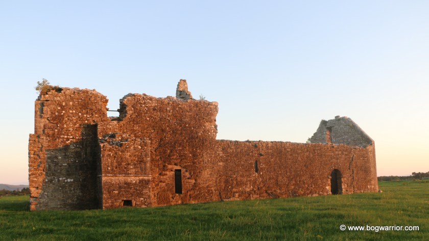
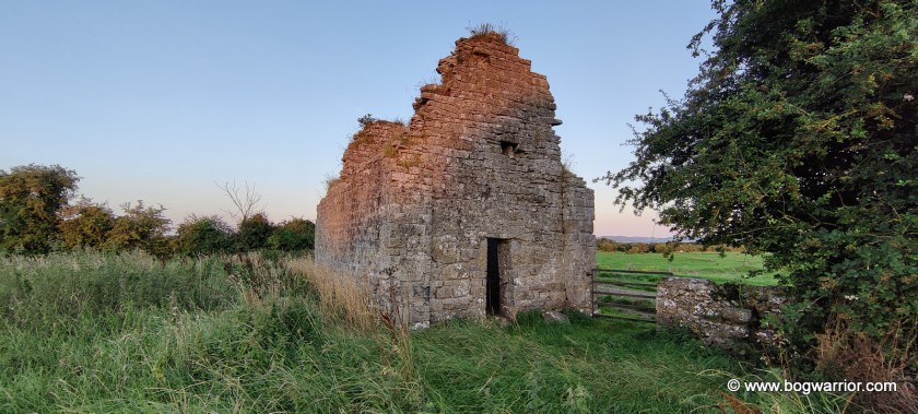
The tower base is situated almost half way between two ruined churches. Apart from these, there is evidence of a settlement which once existed here, perhaps until the 16th or 17th century. These lumps and bumps in the ground are easily visible in the area around the larger church
Aerial photo of the tower base and the two churches.
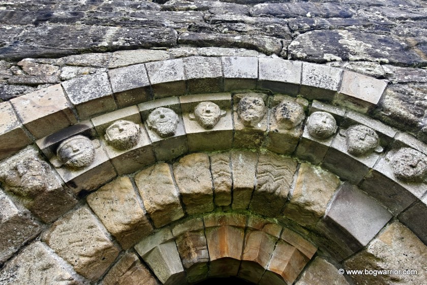
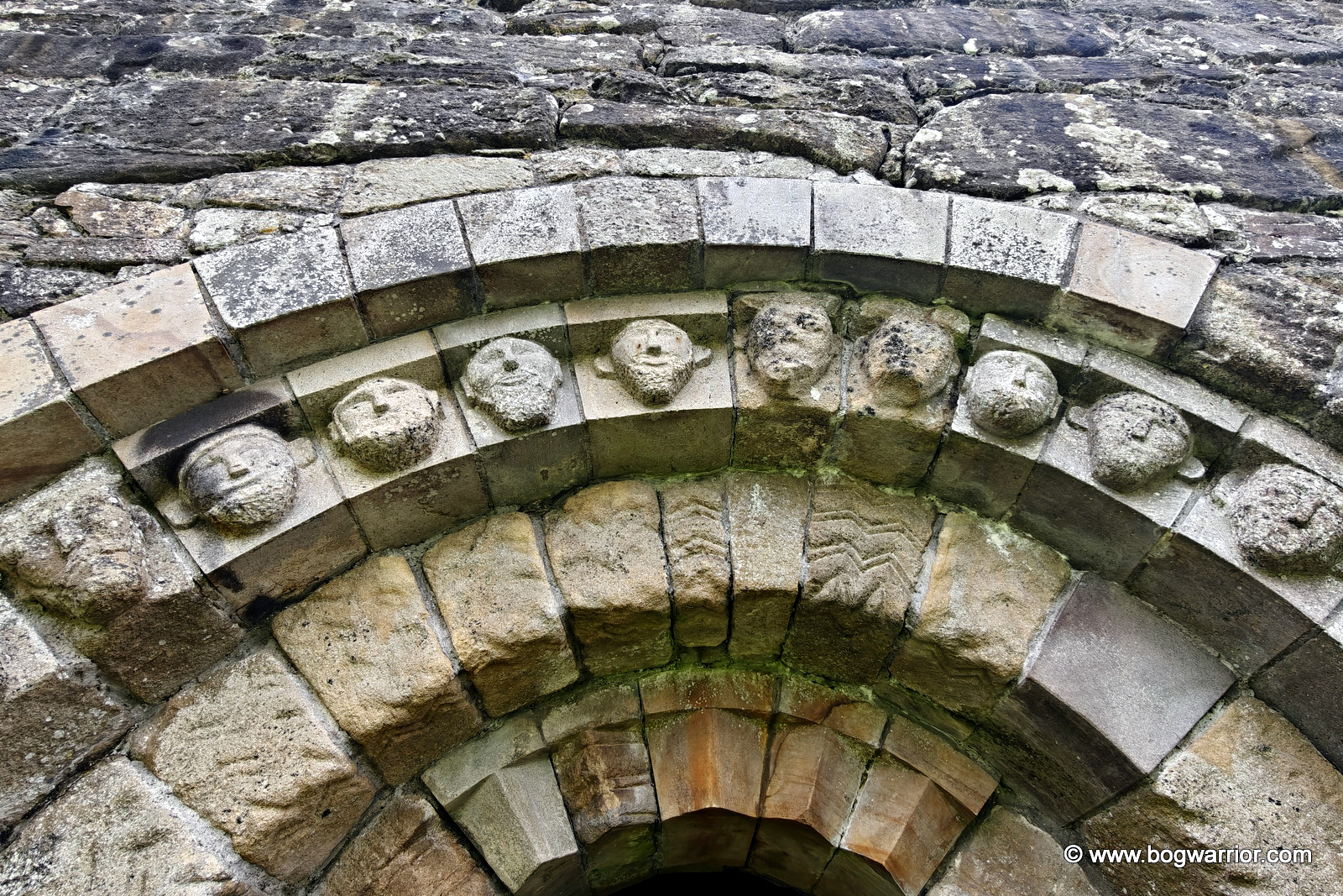
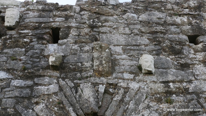
The smaller of the two is an 11th-century oratory. The larger church dates from the 12th century, though it was modified after that. Alterations made in the 15th century are quite noticeable here. There is a loft and steps that access the roof. This church has some interesting features, including some carved heads over the doorway and a Sheela-na-Gig that’s a little hard to find unless you know where to look (fnar). I visited this site on a sunny summer’s evening and wasn’t able to get a decent picture of said exhibitionist. So if you’re curious, there are pics on the “Ireland’s Síle na Gigs” website.
This site wouldn’t make it onto my “must see” list but it was a pleasant way to spend a sunny summer’s evening. The larger church in particular is interesting to look at. Because it’s a much altered building, there are random carvings set into doorways and masonry to look at inside.
Heads!
Getting There
This site is trickier to find than most of the others because it is on private farmland and isn’t signposted from the main road. The entrance to the farm, and the farm track out to the site, look a bit different to the 2009 Google Streetview imagery. Other online accounts of visiting this site mention the mud and advise wearing wellies, so I left my visit to this one until we’d had a dry spell of weather.
The original monastery at Oughterard is said to have been founded by St. Briga (aka. St Brigid). Confusingly, this isn’t the same St. Brigid who is connected with the settlement in nearby Kildare or one of the many other Brigids out there. Honestly, your head would start to spin if you try to figure all of it out. Less confusingly (and more of that in a moment), it is also the final resting place of Arthur Guinness, who founded that brewery.
Little remains of the original monastery now, apart from the round tower. It stands at the back of a cemetery which is found at the top of a hill. Indeed, the Irish name for Oughterard is Uachtar Ard or high upper place. Like many other monasteries, it was raided by the Vikings. In the case of Oughterard, it was raided by the wonderfully named Sigtrygg Silkbeard who was a well-known Dublin-based Viking. At one point, the area was owned by Dermot MacMurrough, who’s possibly buried near another round tower…
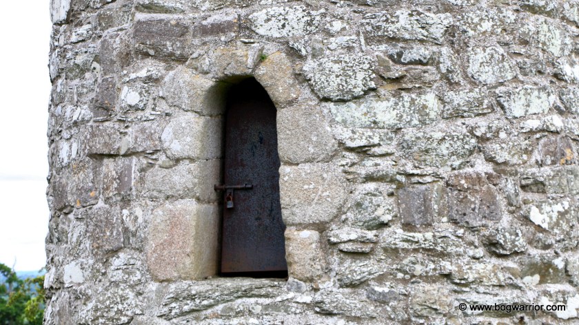
Now partially ruined, the tower here is built from shale rubble. Its doorcase is round-headed and made from granite. There is a padlocked metal door now in the doorway, ensuring that nobody’s getting in.
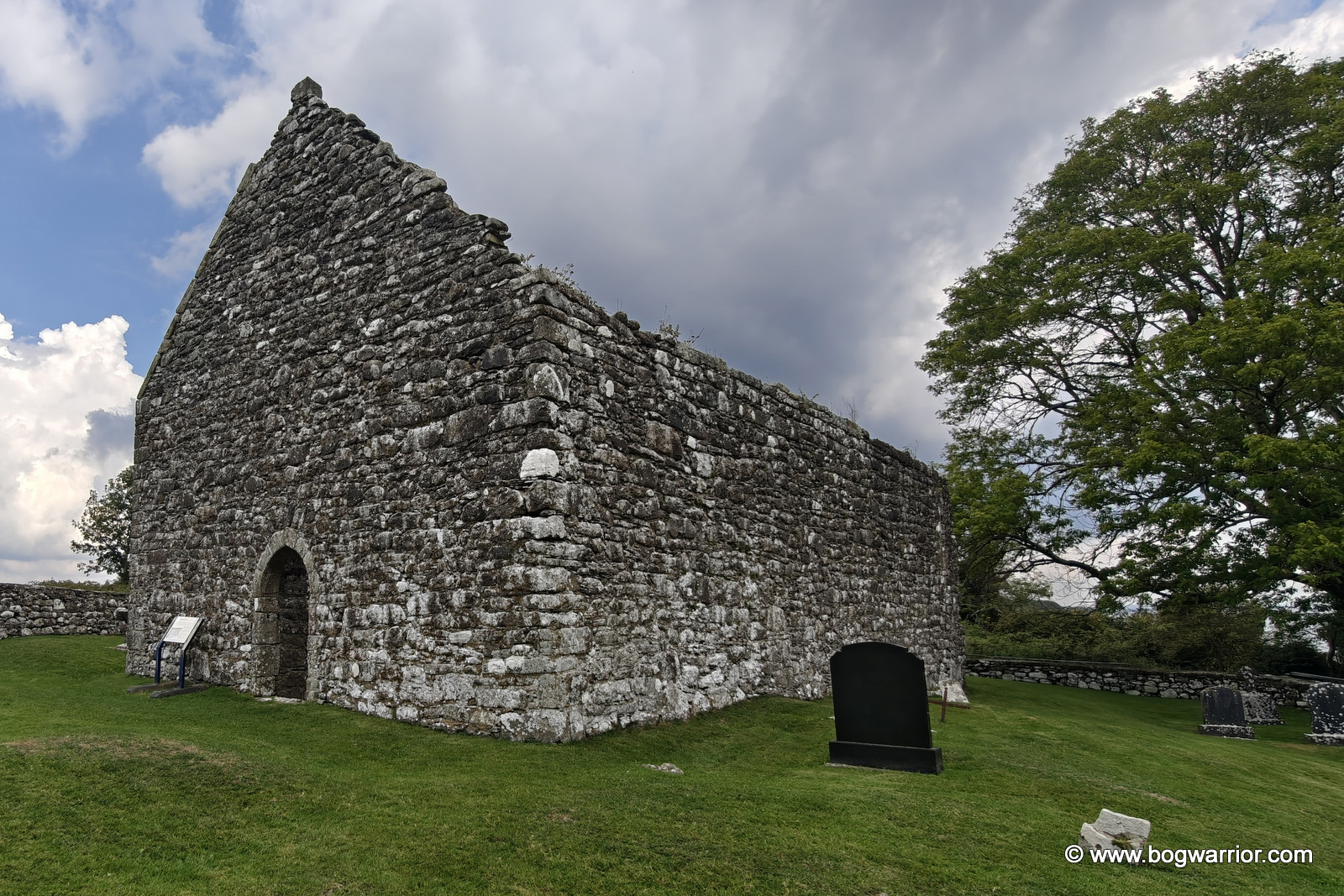
Close to the tower is a ruined church which dates from the 14th century. Its most striking feature, apart from the window which faces the cemetery gate, is the stairs turret which looks like it’s ready to topple over Looking at other photos online, it is still possible to climb it but it wasn’t for me!
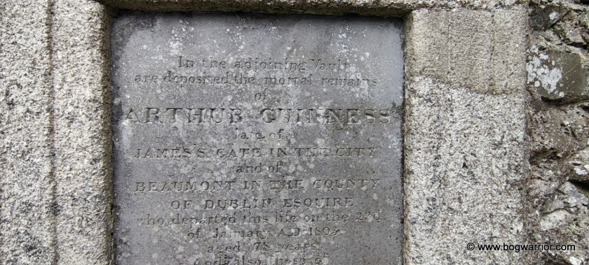
Inside the wall of the church is a plaque which begins “In the adjoining vault are deposited the mortal remains of Arthur Guinness…..” Guinness was born locally in either 1724 or 1725 – the date and place of his birth are disputed. Tradition has it that his grandfather and his father brewed ale, so it was inevitable that he’d end up continuing that line of business. After initially leasing a brewery in Leixlip, he signed a 9,000 year lease at a site in St. James’s Gate, Dublin. This is where the Guinness brewery and adjoining tourist trap continue to operate to this day.
Getting There
These days, the cemetery is marketed as part of “Arthur’s Way”, a Guinness related tourist trail run by Kildare County Council. The entrance is near a bend in a country road but there is room to park along there. It is a well-maintained site and even though there isn’t a lot here, it’s quite a pleasant place to spend a while. There are some nice views too.
I went to university in Maynooth in the early 1990s and spent my time there blissfully unaware that a 2o minute bike ride out of town would’ve taken me to a round tower. Anyway, I took the opportunity to finally take a look at the round tower in Taghadoe after all these years. What’s 30 years in the lifespan of a round tower anyway?
Sorry about the overcooked looking photo – this is exactly what came out of my phone. Visiting at 8:30pm on a summer’s evening isn’t the best time for tower snaps
Very little is known about the monastic site which once stood here. Taghadoe is attributed to St. Tua (also known as St. Ultan the Silent). The only other thing known about the monastery is that one of its abbots (Folachtach of Tech-Tua, died 770AD) had previously been abbot of Clonmacnoise.
All that remains of the monastery is the tower. It stands in a small, well-kept graveyard beside a ruined 19th century church. It is built from limestone and stands 19.9 metres high. Above the round-headed doorway is what appears to be a heavily worn head. There is a similar feature in Monasterboice, some 80km away. At one point, the tower was used as a coal store of all things and doorway was cut into the wall. It was closed up in the 19th century and my untrained eye couldn’t say for sure where the doorway once was.
How dairy come along and take photos of our tower
And there you have it…. There isn’t a lot to see here other than the tower. The church beside it was built in 1821 and abandoned 40 or so years later. The site surrounded by a dairy farm and fields of cattle – as a result, my visit was soundtracked to the sound of vigorous mooing and the scent of cow dung 🙂
Getting There
The tower is easy to find – it is on the side of a country road, 5km south of Maynooth. There isn’t a lot of parking around here, so be mindful of where you leave your car and don’t block any gateways.
There are four round towers in County Dublin but the one in Clondalkin is the only one I have photos of. (I took a look at the one in Swords when I was a teenager) Anyway, the one in Clondalkin is notable for being the only round tower in Ireland which is thought to still have its original roof intact – there are no records of it having been reconstructed. It is made of stern stuff too. In the late 18th century, there was an explosion in a nearby powder-mill. The explosion of its 250 barrels of gunpowder demolished the parish church but the tower remained standing.
A monastic settlement was founded in Clondalkin by St. Mo-Chúa or St. Crónan in the late 6th or early 7th century. The road now splits the site in two, with a churchyard standing on the opposite side of the street to the tower. Still, the general layout make sense, with the doorway still facing a church. It’s not the original – perhaps the one that fell foul of the gunpowder explosion was on the site of that. There are two early crosses and a baptismal font in the churchyard, along with the remnants of the demolished church. You can see photos of those on the Ireland in Ruins blog. The evening of my flying visit, the churchyard was locked up.
Like many other old buildings in Dublin (i.e. Kilmainham Gaol, part of the old library in Trinity College, numerous Georgian houses), the tower is built from calp Limestone. The masonry is somewhat uneven and unlike most other towers, this one doesn’t narrow as it moves upwards. Indeed, the top of the tower flares out a bit.
At the bottom of the tower is a base which was added at a much later time. There is no date for this addition but it is thought it may have helped stabilise the tower. The base has some steps cut into it, which provide access to the door. The lintelled doorway and windows are much less elaborate than ones that are found elsewhere. The doorway is surrounded by granite.
According to Brian Lalor’s book, there are floors and ladders in the tower and that a key for access is available from the caretaker. It is unclear if that is still the case.
3D Google view of the site. The tower doorway is still facing in the direction of the now-vanished church
Getting There
The tower is hard to miss, seeing as it is standing on the side of the road in Clondalkin. There is parking in the nearby shopping centre. Since my brief visit back in 2014, a visitor centre has been developed close to the tower (more info here). An excuse to revisit? 😉