In March of this year, I finally got around to visiting Belfast. I’ve only been to Northern Ireland sporadically, and not recently. I’d never been to Belfast either, so it was time to fix that omission.
Rather than driving, I travelled there by train. I began the long trek north by catching a morning train to Heuston Station, then a Luas across Dublin city centre to Connolly Station. Then finally, an Enterprise train to Belfast. I’d never caught a train to or from Connolly Station, so the journey along Ireland’s north-east coast was a pleasant diversion. A lifetime of shuttling up and down the line from Heuston had long since killed my enjoyment of simply looking out the window! The Enterprise train was modern, comfortable, and not too crowded. It also boasted that rarest of beasts on Irish trains these days – a catering trolley. Seriously, Irish Rail, what are ye at? The pandemic was 5 years ago… The trains to Belfast now terminate at the brand-new Grand Central Station. It’s within walking distance of the city centre, which is ideal if you don’t want to be bothered with buses or taxis. Should you wish to travel further into Norn Iron, there are plenty of buses and trains to get you there.
I didn’t get to explore the city to any great extent (hence the flying visit comment) so here are the highlights.
The Ulster Museum is in the grounds of the city’s Botanic Gardens and has been extensively renovated in recent years. There’s plenty to see, but a highlight for me was a recreation of the famous blackboard from Derry Girls. It’s a beautiful building and I’ll definitely make a return visit when I have more time on my hands. The museum and Botanic Gardens are next door to Queen’s University. It was lovely to feel the energy that comes with a third-level institute, while at the same time being glad that those days were well behind me!

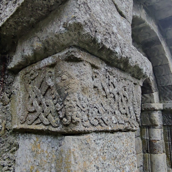
Walking around the city centre, it was interesting to see the mix of old and new. And as someone who grew up in the era when this part of the world was constantly in the news for the wrong reasons, placenames, buildings and signposts looked very familiar.
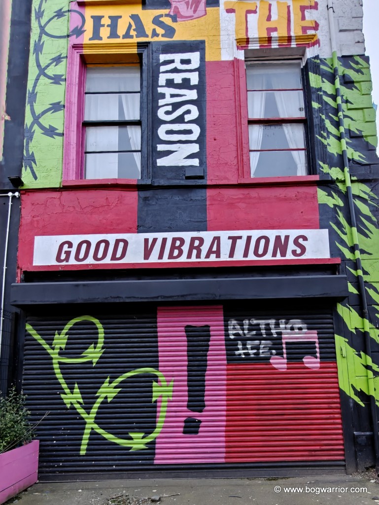
I spotted this disused building on Great Victoria Street. It was one of the places in the area where Terri Hooley ran his Good Vibrations record shop. For anyone who hasn’t got a clue what I’m on about, Terri Hooley was (and is) Belfast’s so-called “Godfather of Punk”. As well as running a record shop called Good Vibrations, he established an indie record label. Its most famous release was Teenage Kicks by The Undertones. A film about Terri’s life was released in 2012
Titanic
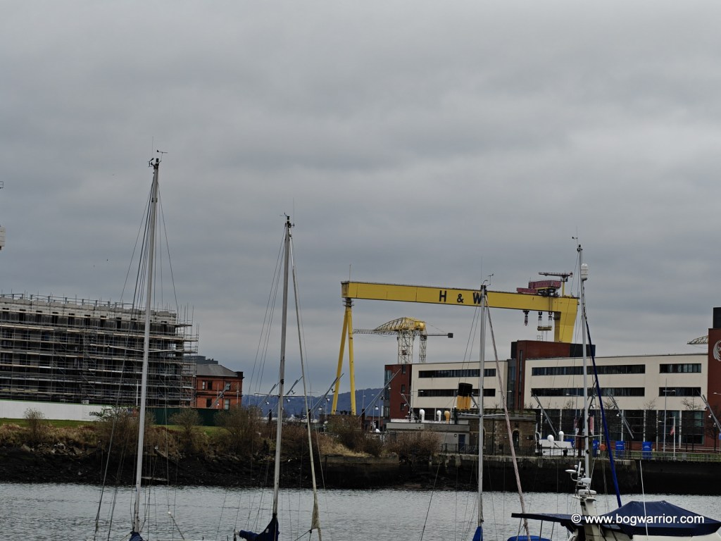
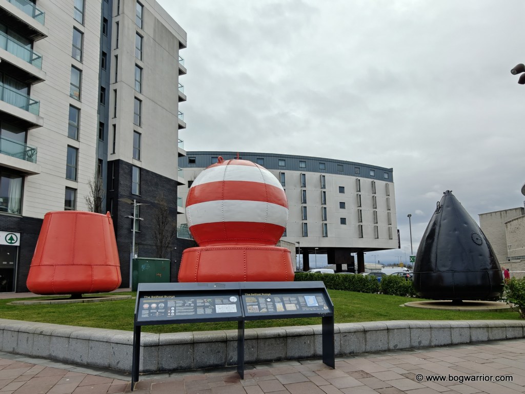
Because Belfast City Centre is so compact, the walk out to the Titanic visitor centre didn’t take that long. It was also a great way to take in the riverside area of the city, and to see how Titanic and Game of Thrones have benefited the region. There are many shiny new buildings in the area. These, presumably, have replaced something that was much grittier.

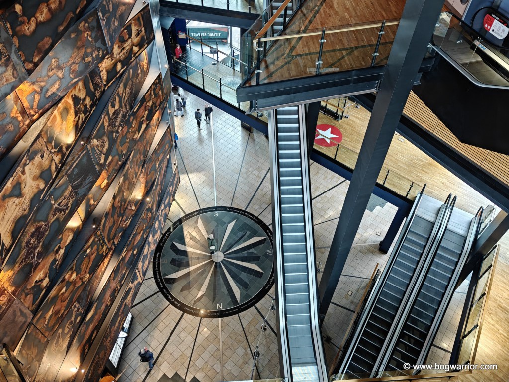
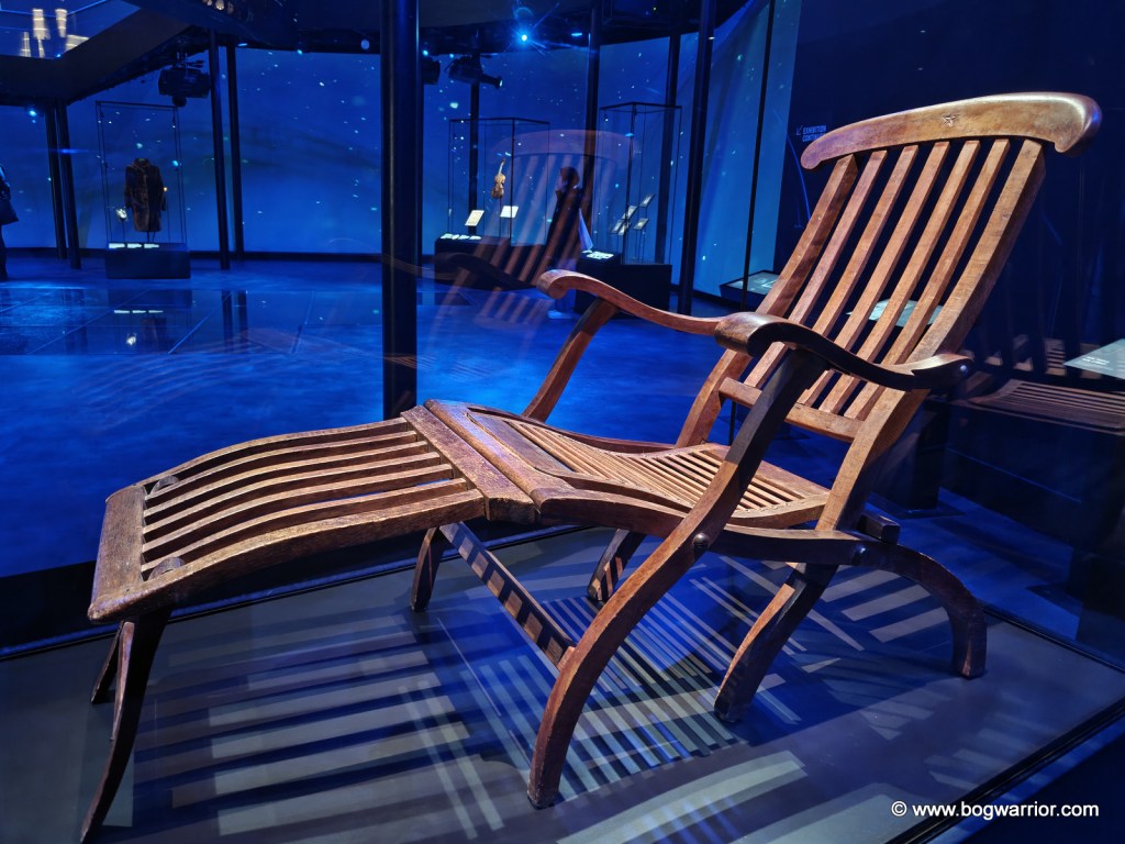
I’m a sucker for shiny floor exhibitions, so the Titanic Experience was right up my sleeve. It’s a self-guided tour which takes in everything from the social history of Belfast right up to the aftermath of the disaster. It has pretty much everything you’d expect from such an exhibition – multimedia displays, rolling interviews and documentaries, and reproductions of carpets/crockery/cabins on the ship. Another highlight of the exhibition is a fairground-style ride through the shipyard. It’s accompanied by sounds from the shipyard, voiceovers and heat. The building itself overlooks the original slipways where the Titanic and its sister ship, the Olympic, were launched.

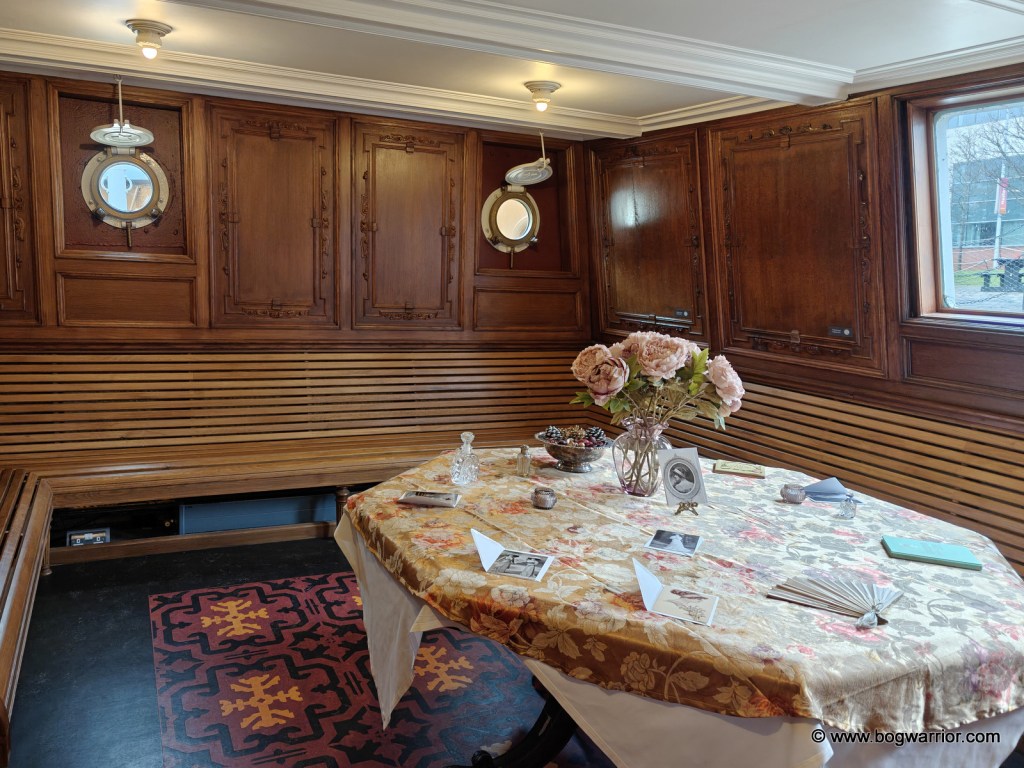
The entry ticket also gives you access to the SS Nomadic, which is to be found in a nearby dry dock. This is the last surviving White Star Line ship and was built at the same time as the Titanic. It was designed by Thomas Andrews, who was also responsible for designing the Titanic. As it happens, it’s also the only surviving ship designed by Andrews. SS Nomadic was essentially a shuttle bus on water and was used to ferry first and second-class passengers from the dockside out to their ship. In 1911, it brought passengers from Cherbourg out to the Titanic. It continued to operate as a working tender for 50 years before being converted into a floating restaurant/casino in Paris. It was purchased in 2006 by the local government and restored. It’s well worth a visit, even if it’s just to observe the differences between the 1st and 2nd class areas.
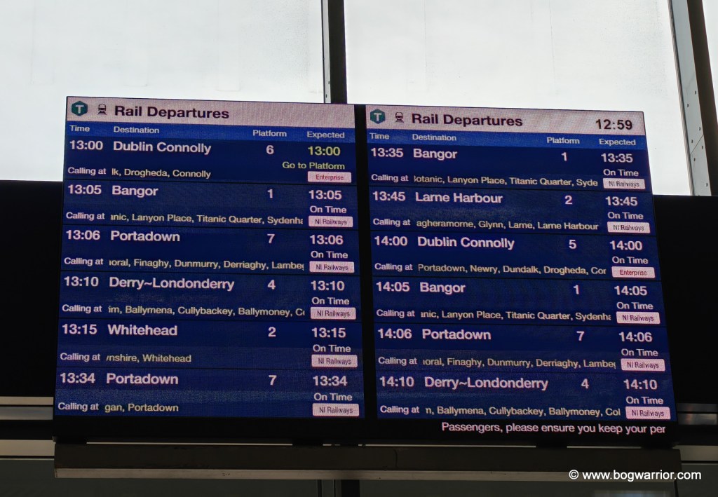
I caught a Glider bus back to the city centre (I bought a ticket at the bus shelter near the Titanic centre) before doing some shopping/exploring. Yet again, I wished that we hadn’t gutted our rail network in the mid-20th century because the train is such a nice way to travel. The train back to Dublin was an Irish Rail one but was no less nice than the Enterprise one from the day before. Seeing as I started this post with a photo of a railway station information board, I might as well end with one as well.

Getting There
An hourly train runs between Dublin and Belfast – see Irish Rail or Translink’s website for more info. Belfast Grand Central railway station is within walking distance of several hotels and of the city centre.
Belfast has a regular bus service, including some Glider bendy buses.
As well as the famous black taxi tours, there are open-top bus tours which also come recommended.