
Ormond Castle in Carrick-on-Suir is a little bit different to your usual castle visit. For starters, the site isn’t obviously a castle. What catches the eye aren’t the ruins of the castle which are there, but the Elizabethan Tudor manor house built onto it. As we know, Tudor manor houses aren’t all that common in Ireland. This one could’ve been soo much more Elizabethan if only Queen Elizabeth I (i.e. Ms Elizabethan herself) had bothered to come and visit.
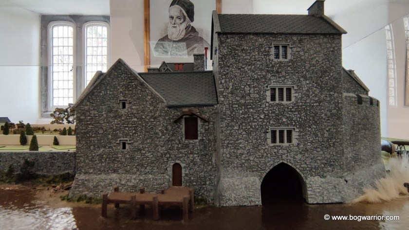
Anyway, let’s go back a bit in time. A castle was first built on the site in the fourteenth century. At the time it was very close to the River Suir (as depicted in a rather nice model that’s on display in the visitor centre) and was strategically important. It was originally owned by the Wall family but was given to the powerful Butler Family. James Butler would later become the first Earl of Ormond. The Butler family, incidentally, also owned Kilkenny Castle for many centuries.
Over 200 years later, Thomas Butler, the Tenth Earl of Ormond built the Tudor manor house onto the castle. Black Tom, as he was also known, was a cousin of Queen Elizabeth I through her mother Anne Boleyn. He became close friends with Elizabeth. So close, in fact, that there were rumours they were more than good friends. Elizabeth was known to refer to him as her “Black husband”.
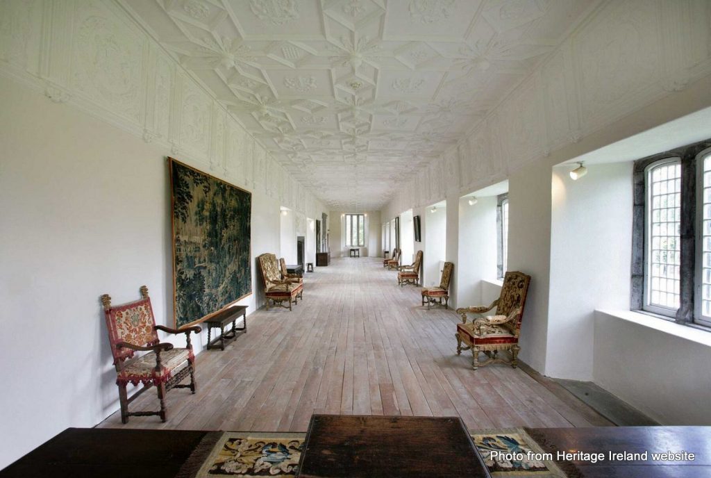
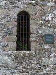
Thomas invited Elizabeth to come visit him in Ireland and she accepted the invitation. In 1565 he built the manor house here, in preparation for her visit. As an Elizabethan-style house, it had larger windows, brick chimneys and a layout different to traditional Irish buildings. It has a beautiful long hall that has some pretty amazing stucco plasterwork on the walls and ceiling.

Disappointingly for Tom, Elizabeth was long on promises but short on action. She never did get around to visiting the manor house he had built for her.
In 1588 Thomas became a Knight of the Garter and in 1597 he became Lieutenant General of Ireland in 1597. He also found the time to get married 3 times and fathered at least 16 children (4 inside the marriages, 12 elsewhere). When he died in 1614, his illegitimate son Piers FitzThomas Butler of Duiske benefited most from his will. This led to rumours that Piers might’ve been a child he’d had with Elizabeth.
Over time the financial clout and power of the Butler family diminished. The house was abandoned in the late 17th century and fell into ruin. The Butlers handed the site over to the Irish state in 1947

The castle and manor house have undergone significant restoration since then. In recent years the manor house was plastered over again. If you do a google image search, you can see plenty of photos of the manor house with its stonework exposed.
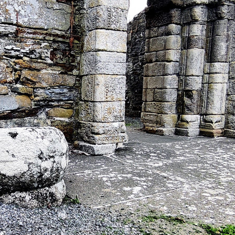
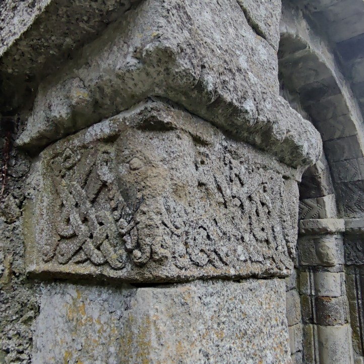
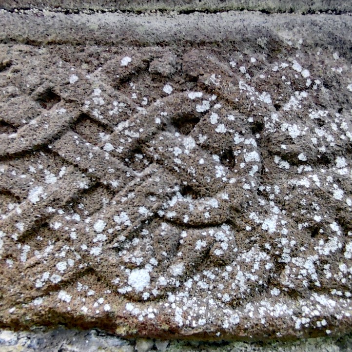
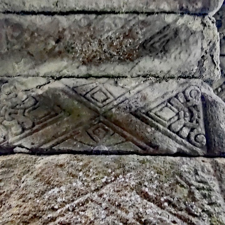
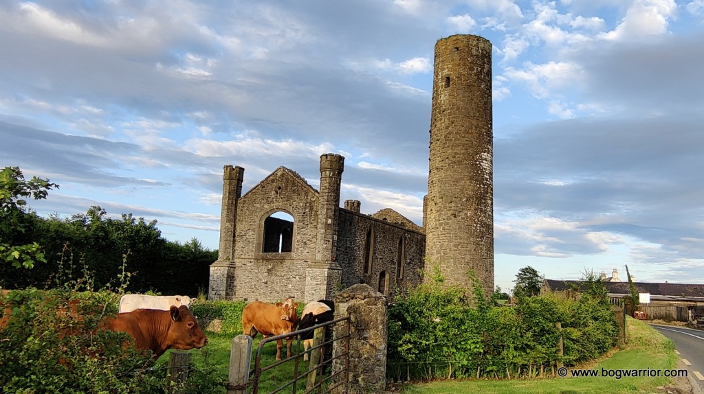
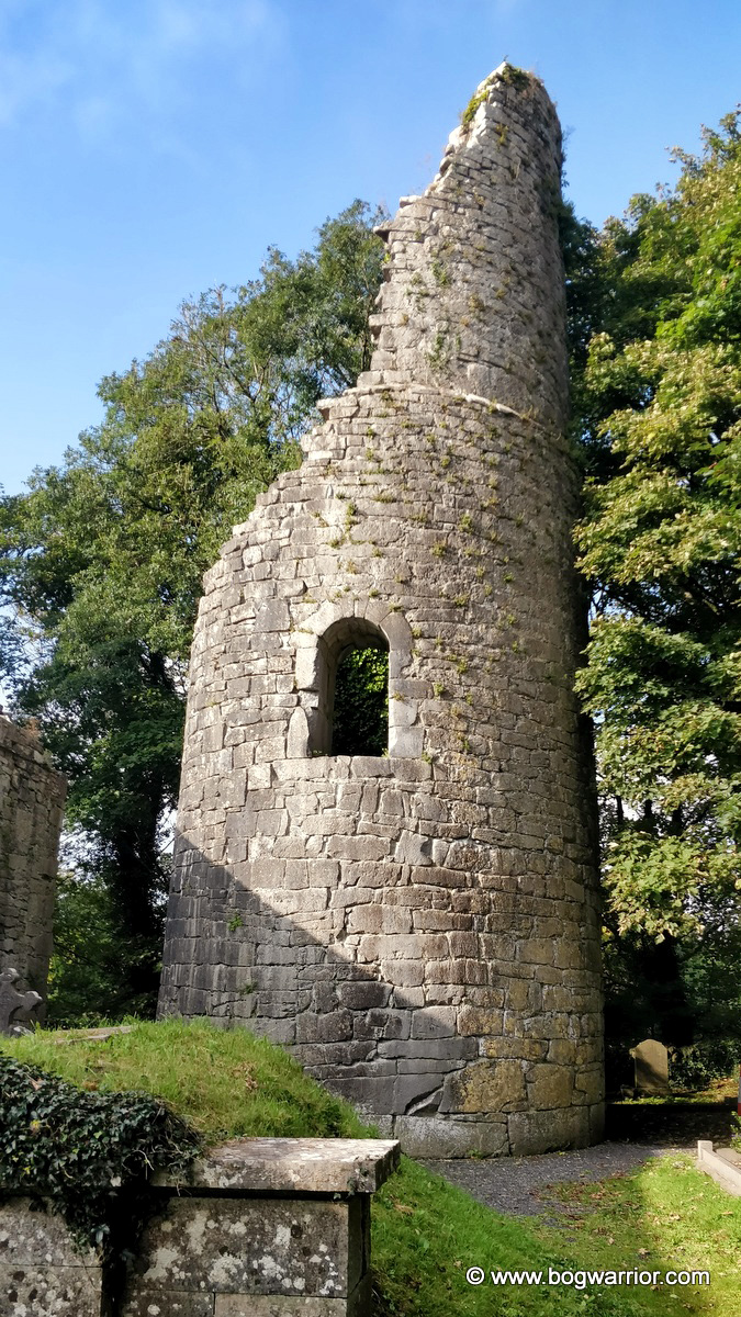
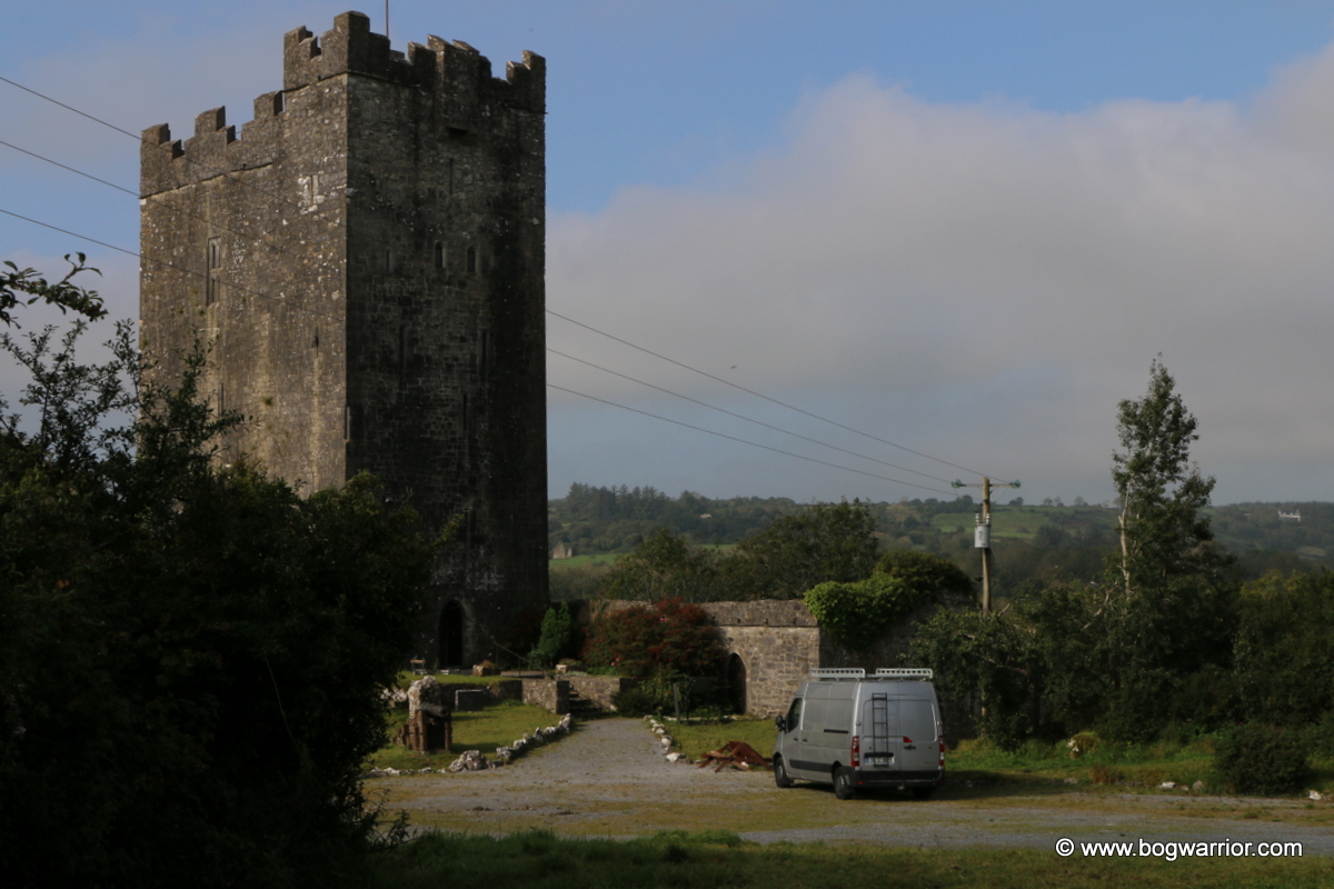
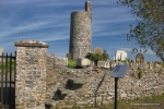
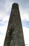
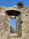
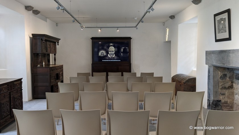
Even if Elizabeth couldn’t be bothered coming to visit, it is worth a trip if you fancy looking at something that isn’t yet another castle. There are some remnants of the castle on the site, including the tower house. The guided tour didn’t bring us in there but perhaps that may change in the future. There’s also a short film on the history of the castle and a museum with some interesting bits and bobs
Getting There
The castle closes over the winter time, so check Heritage Ireland’s website before planning your visit. As of 2024 its season is running from March-November. More details here
The castle is accessed through the park you can see on Google Streetview. Carrick on Suir is a busy town so you may not find parking right beside the castle. Astonishingly, the payment machine in the nearby council-run New Street Car Park didn’t offer a contactless card payment option. If you don’t have enough coins to hand (luckily we did) then you’re required to download an app and pre-load it with credit. That’s fine if you park in Co. Tipperary on a regular basis. If you’re on a one-time visitor then it’s daylight robbery.