Clare Island – the clock beat me

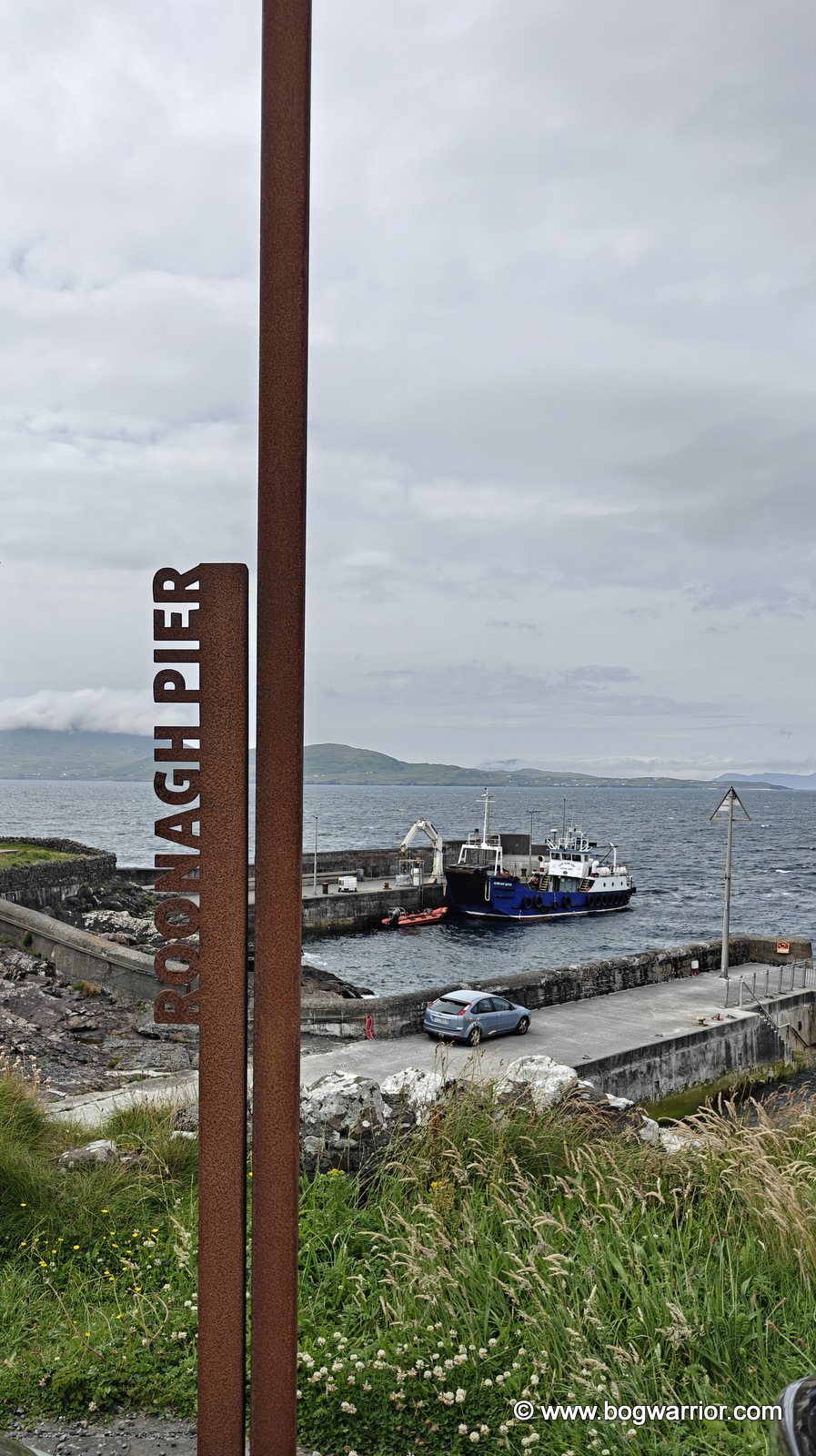
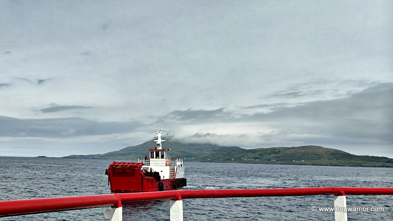
As the ferry pulled away from Roonagh Pier, 1996’s Clare Island by the Saw Doctors was playing on the silent jukebox in my head. The song has a wonderfully carefree feel to it, although I should point out that I had no intention of following all of its characters’ example. They may have gone skinny-dipping; I, thankfully, kept my clothes firmly on.
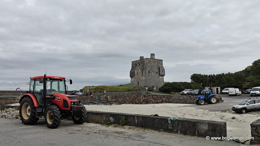
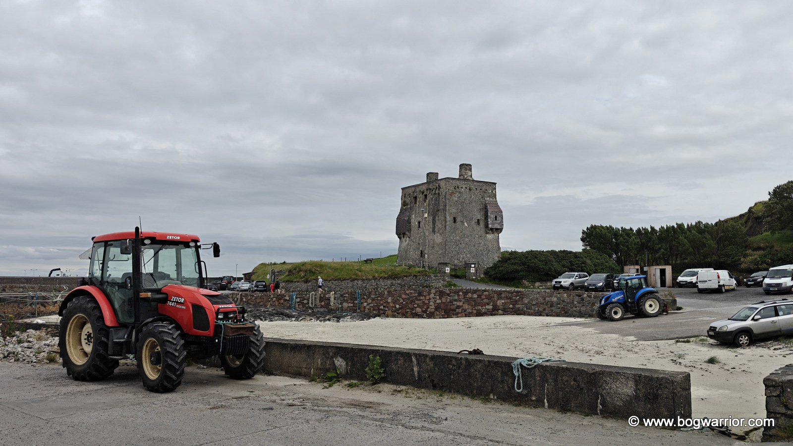
Grainuaile's Castle
Grainuaile’s Castle and some serious tractorage

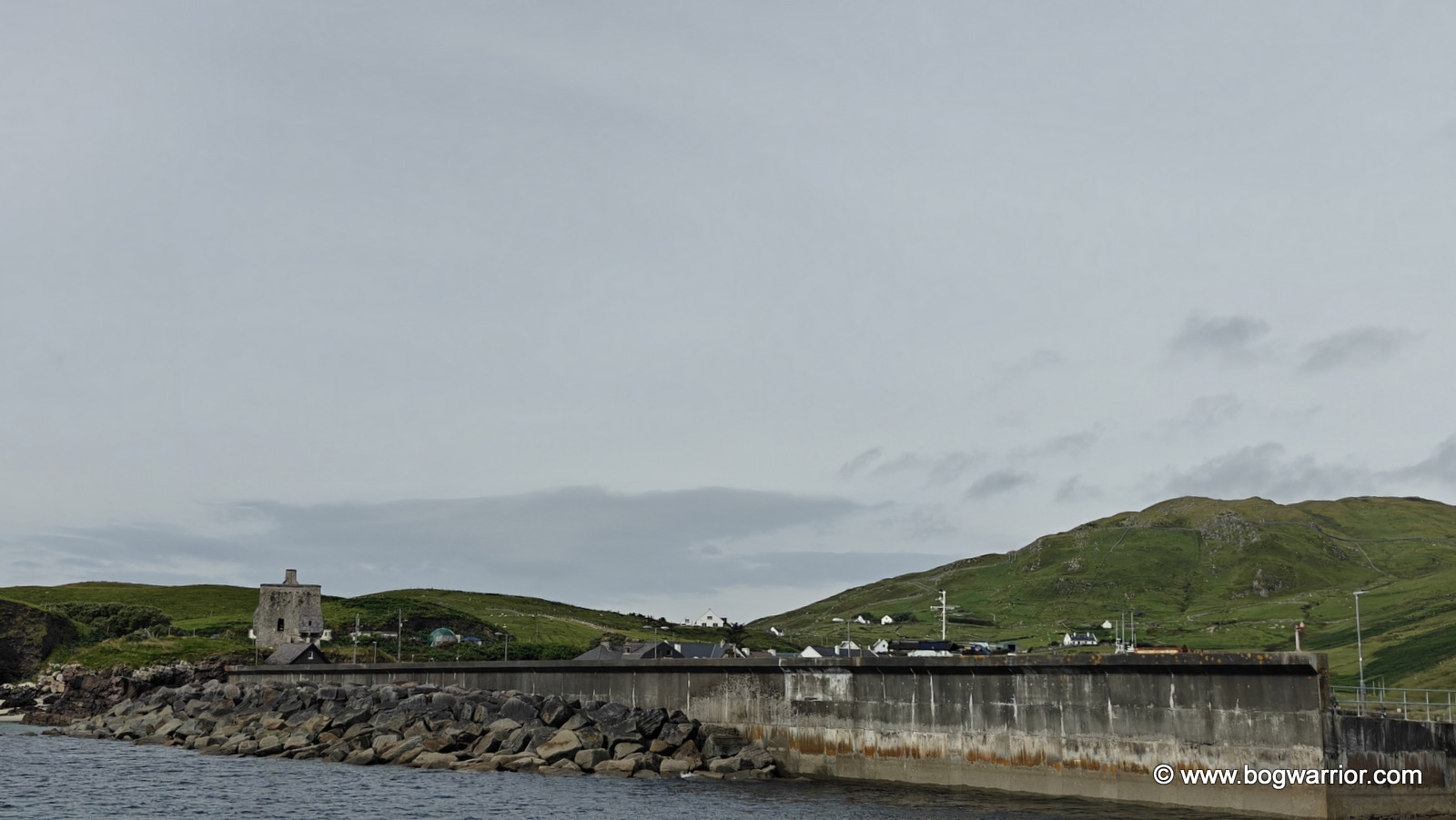
It’s hard to miss the imposing tower house standing beside the pier. Known as Granuaile’s Castle, it is associated with one of the most formidable women in Irish history. Grace O’Malley (c. 1530–c. 1603) was a 16th-century chieftain and seafarer, better known as the Pirate Queen. Her Irish name, Gráinne Mhaol (anglicised as Granuaile), has its own story. According to tradition, she cut off her hair to disguise herself, with mhaol referring to baldness or being bare-headed. Unfortunately, the castle is closed to visitors, so all we could do was peer in through the windows and door. Still, it was a fitting place to begin exploring an island so closely associated with the legendary O’Malley family.

As I was on a day trip, cycling seemed the perfect way to explore the island. It was slow enough to take in the scenery but fast enough to cover some ground — although, as I would discover, Clare Island has a few hills that make you reconsider the definition of “fast enough”.
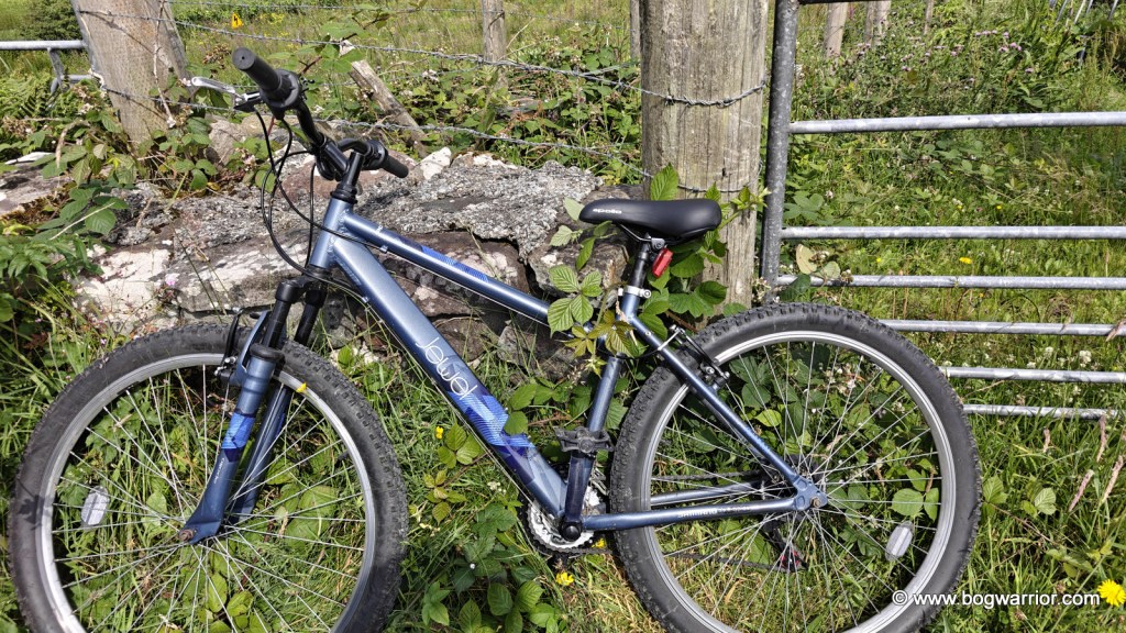
Obligatory hired bicycle shot

The Abbey

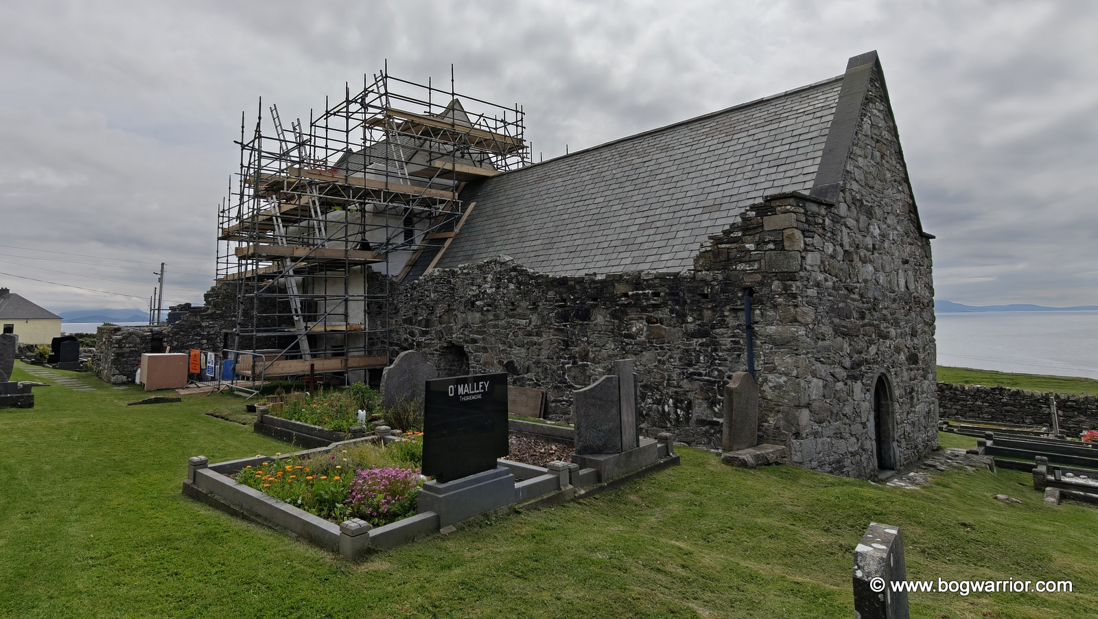
My main destination was Clare Island Abbey, which is thought to date back as far as the 12th century. It is closely associated with Grace O’Malley, whose castle I’d been admiring just 45 minutes earlier. According to local tradition, she was baptised, married and buried here — the auld “hatched, matched and dispatched”.

It is possible that she was laid to rest in the O’Malley tomb, which still survives within the abbey. Wandering around the graveyard outside, it’s hard to miss the many headstones bearing the O’Malley name. It certainly brings home just how deeply rooted the family is in the island’s history.
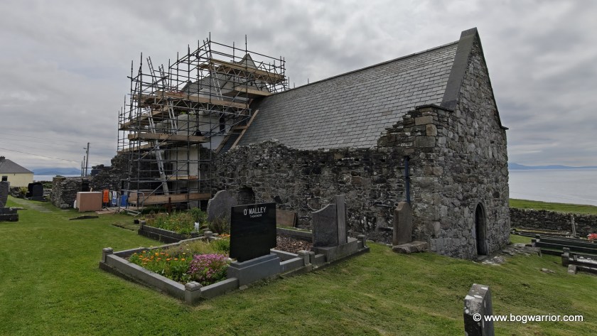
Clare Abbey
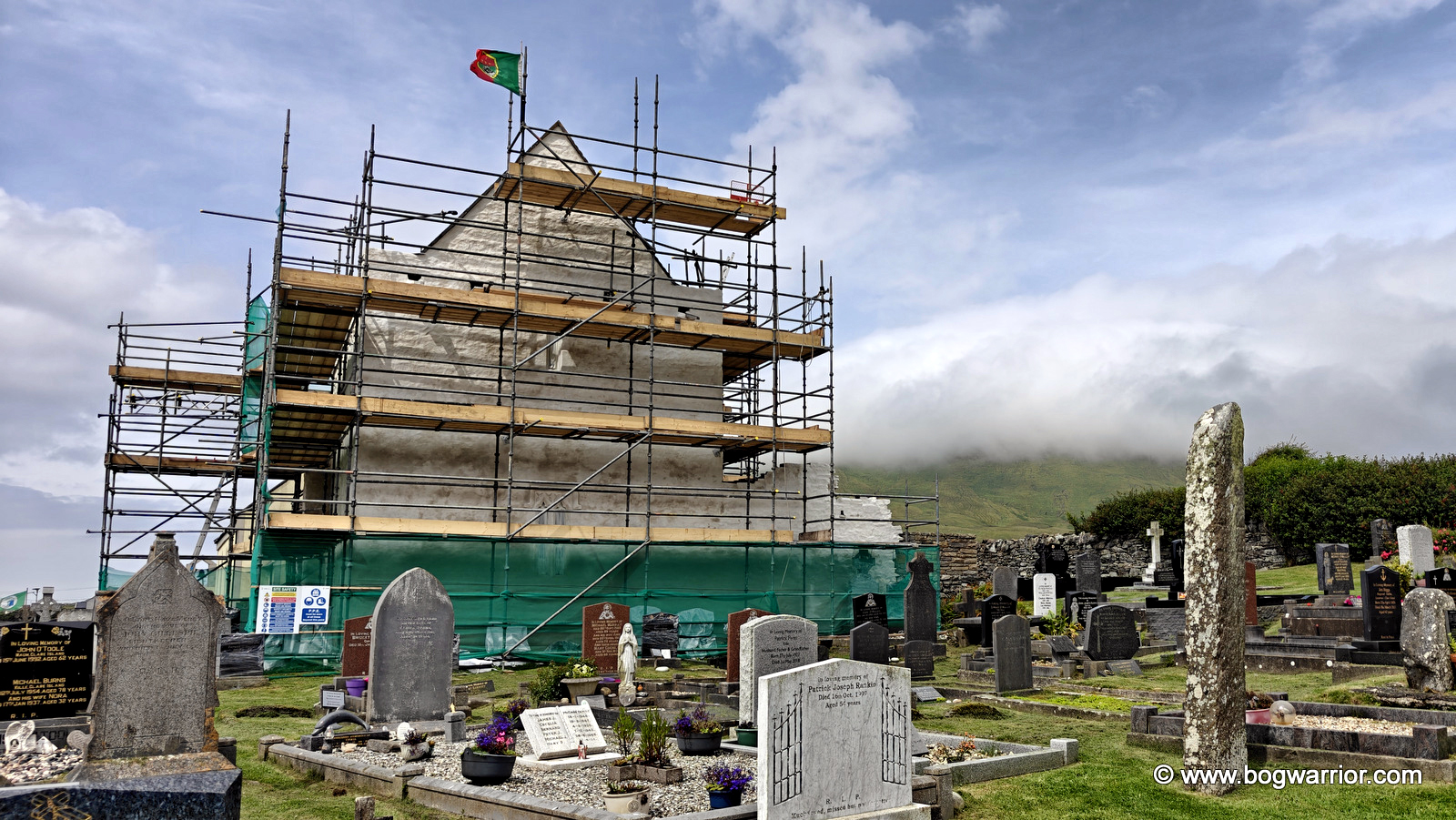
Clare Island Abbey

Yet again, my talent for visiting places that are under scaffolding raised its head. Still, it’s good to see an old building being maintained rather than left to the elements.

Inside, I spent some time looking at the faded artwork and listening to a conversation nearby. One of the group had visited the abbey many years earlier and recalled that, at the time, the walls had been “weeping”. He wondered aloud about how much of the original artwork had since been lost. Indeed.

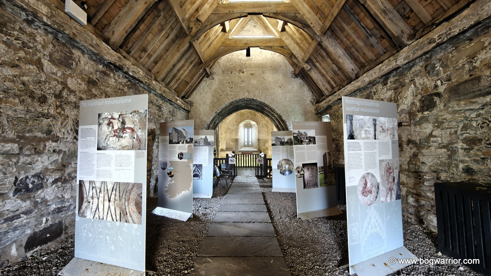
The nave contains a number of bilingual signs with interesting information and photographs showing the abbey throughout the years. The highlight, though, is undoubtedly the chancel at the opposite end of the building.
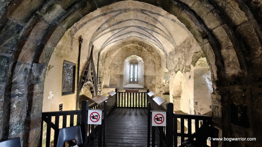
Interior of Clare Abbey
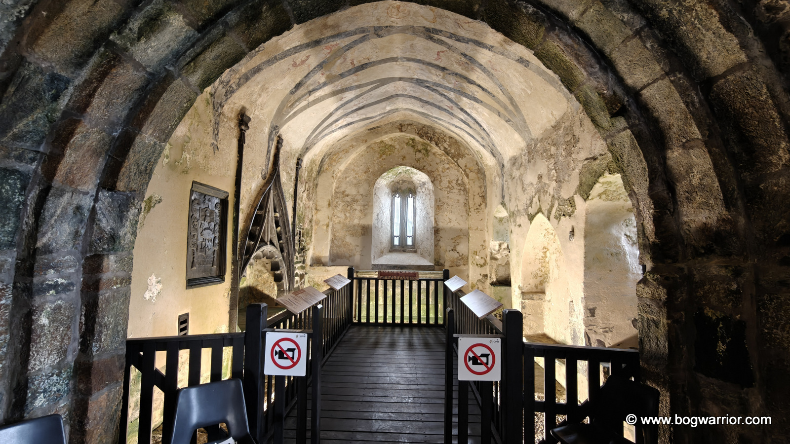
Chancel of Clare Abbey – I didn’t use a 1990’s camcorder so hopefully nobody will come after me!

The walls and ceiling are decorated with a wonderfully eclectic collection of mediaeval artwork: dragons, a cockerel, stags, birds and trees, as well as people on foot and horseback and even a harp-playing musician. Some of the paintings are now quite faint and difficult to make out, but thankfully the information panels include diagrams showing what you’re looking at. The O’Malley tomb and coat of arms, on the left-hand side, are particularly striking.

The Old Napoleonic Signal Tower

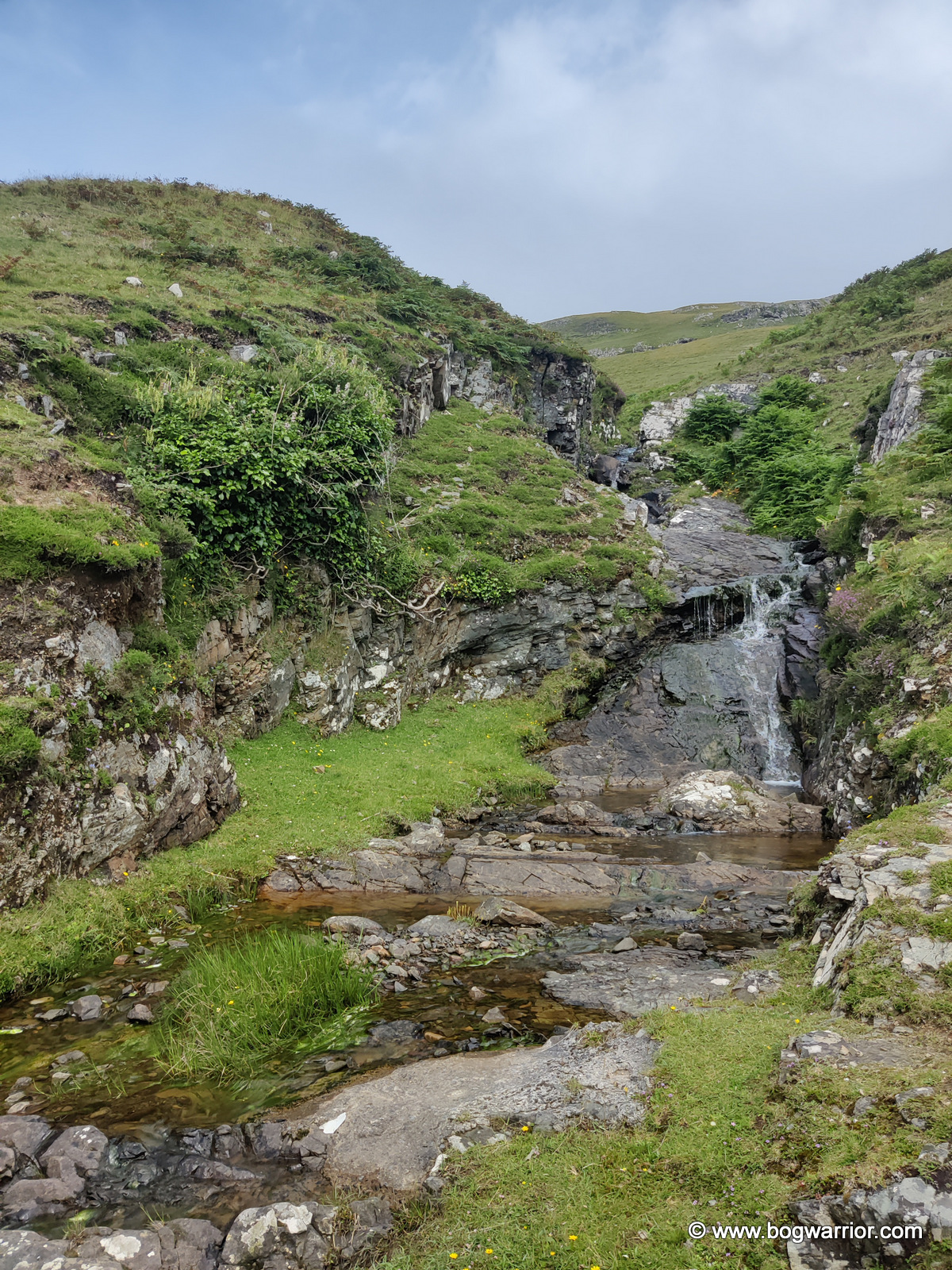
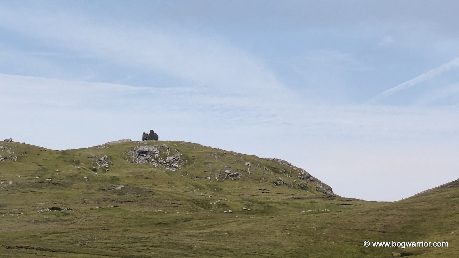
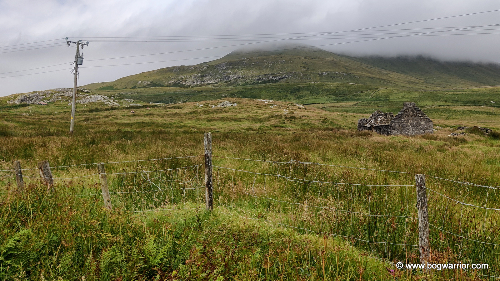
Being something of a tower fiend, I couldn’t leave Clare Island without attempting to find the ruins of the old Napoleonic signal tower, accompanied by the reassuring tones of Google Maps in my ear. It was a scenic journey, taking in sea views, a lovely waterfall, sheep and, looming ahead, a rather large hill with clouds hanging ominously over it.

All went well until the road ended and Google Maps announced that I had reached my destination. I looked at the phone, I looked at the territory, and all I could do was laugh. I was standing at the edge of a bog, looking up at a big hill. The signal tower was at the top of said hill, with no obvious route to reach it. I looked at the landscape. I looked at the bicycle. I looked at the remaining time. I decided that perhaps the signal tower had been quite adequately admired from a distance. At least I can say I saw it.⬇️
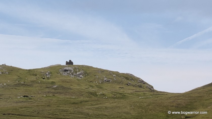
Napoleonic Tower
Napoleonic Tower

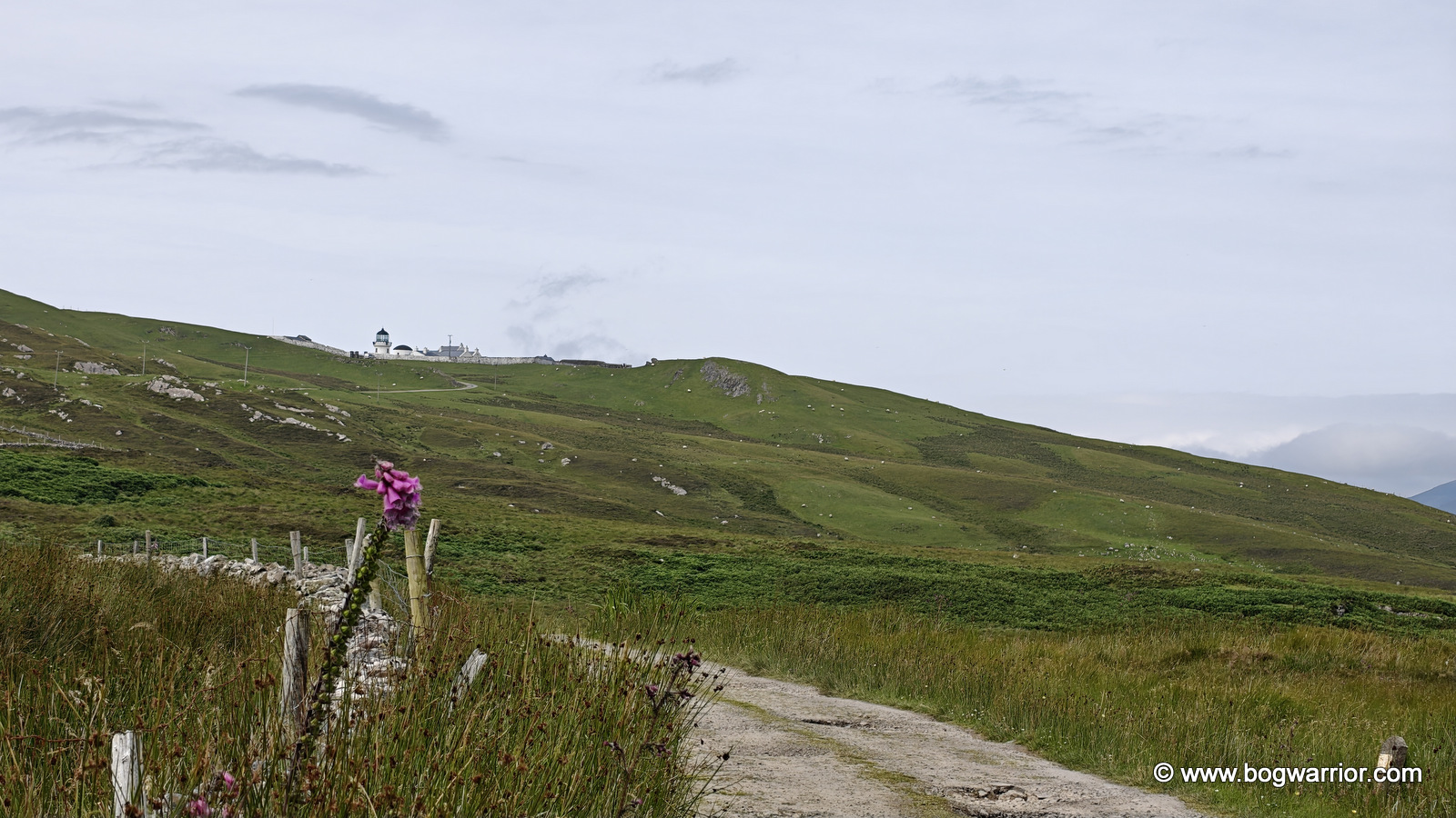
I still wanted to see the lighthouse. These days, it’s rented out to visitors who want to spend more than a busy day trip on the island. The journey from almost reaching the Napoleonic signal tower to the lighthouse involved plenty of uphill cycling, but it also came with some stunning views.

This was the sort of scenery that makes you forget you’re supposed to be watching the clock.

Unfortunately, the clock had not forgotten me.

By the time I reached the gateway leading to the lighthouse, I knew this was going to be another “not quite” visit. One look at the long and winding road leading up to it was enough to make up my mind. It was time to turn around and head back to the pier.
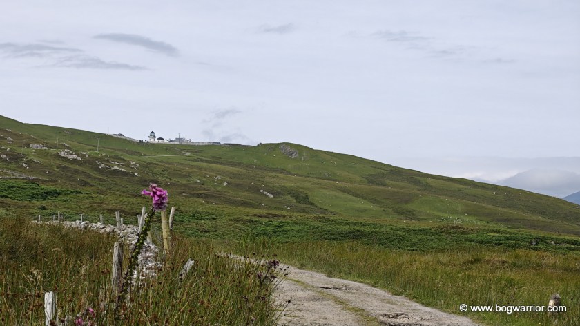
Clare Island Lighthouse

Much as I liked Clare Island, I liked the thought of getting back to my car at Roonagh Pier even more. Sometimes a day trip isn’t about seeing everything. Sometimes you have to leave a few things for the next visit.

Getting There and Getting Around

Two companies – Clare Island Ferry and O’Malley Ferries run numerous daily ferries from Roonagh Pier, which is 7 km from Louisburg, Co. Mayo. The ferry journey took roughly 20 minutes.

There is a bicycle hire place not too far from the pier, should you wish to explore on two wheels. If you’ve read this far, I’d advise against bothering to seek out the Napoleonic Tower unless you really like bogs and ruins 😁. There is a shop near the island church and school, plus a small hut on the pier. I didn’t have time to sample any food or drink in the local hostelries.

Gallery – click on an image to start the slideshow
Derrigimlagh Bog – Be Not Here Now

Derrigimlagh is a large expanse of blanket bog, halfway between Clifden and Ballyconneely in County Galway. Perhaps because of its location so close to the Atlantic coast, it has played host to two significant events in 20th-century history. One by accident, the other by design.


Marconi’s Wireless Station (1907)

On 12th December 1901, the world’s first Transatlantic wireless message was sent from Poldhu, Cornwall to an abandoned hospital in St. John’s, Newfoundland. The man receiving the message was the person who had created the technology behind it – one Guglielmo Marconi. After this early success, Marconi began the search for a site more suitable for a commercial operation. He finally settled on Derrigimlagh Bog which was 7km from Clifden, Co. Galway in Ireland. There were several reasons for choosing Derrigimlagh. It was close to the Atlantic Ocean on Ireland’s west coast, there was no shortage of land to build what was needed and there were ample natural resources onsite. The peat bog and the lake would supply enough fuel and water to keep everything running smoothly. The radio station began operating in 1907, transmitting messages to its sister station 3,000km away in Glace Bay, Nova Scotia.

AI colourised photo of the site 1

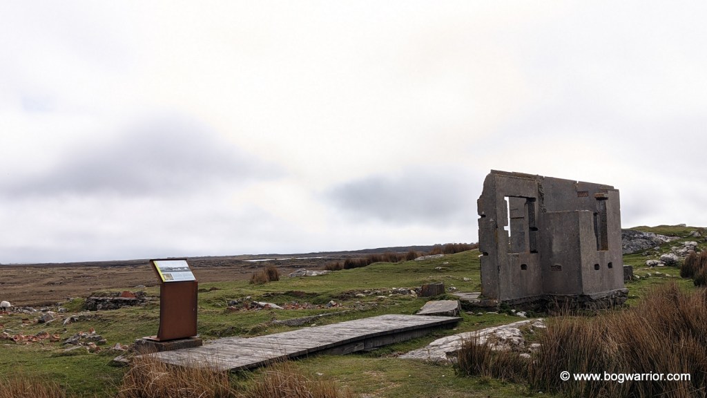
The radio station at Derrigimlagh was quite an extensive complex. The antenna system stretched out for more than half a kilometre and consisted of 8 masts, each 6m high. A power station was built onsite with six steam-powered generators in the building – three were always in operation, with the other three as backup. A huge condenser building (106m x 23m) was built to store the energy that had been generated and to supply enough “oomph” to get those messages across the Atlantic. (I hope my old science teacher isn’t reading this thoroughly unscientific explanation). Several other buildings were constructed onsite, including housing for workers and a social club. The station did what it said on the tin, and operated successfully for a number of years.

Digital recreation of the antennae, as seen on the BBC’s Coast 22

As the technology improved, Derrigimlagh was superseded by a more powerful station at Caernarfon in Wales. In July 1922 it was attacked by Republican forces during the War of Independence and some of the buildings were damaged. That proved to be the death knell for the station. It was closed and the contents sold off.

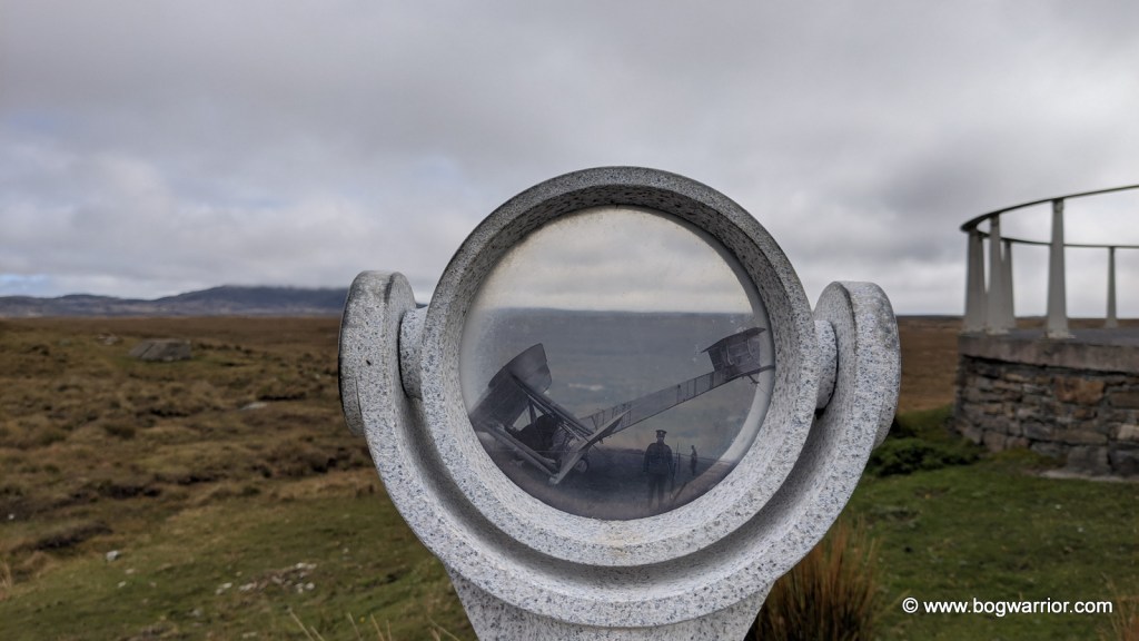
All of this means that despite the significance of this site, and the extent of what used to be here, visitors could easily go for a long walk and return to their cars oblivious. Happily, lots of work has been done to remedy this. Along with pathways and boardwalks, the site is dotted with information stops, photoscopes and helpful signs. All of these definitely help to make you understand how large and unique this site once was. It’s so frustrating that there isn’t even one building standing any more. All we have are tantalising glances of foundations, a few fragments of wall, loose bricks and concrete bases. The photoscopes in particular are a welcome addition because you can look through them and see old photos against the current landscape.
In 2010, a smaller version of the station was recreated for the BBC series Coast. If you’re interested, the episode can be seen here (scroll on to 9:26)

Alcock & Brown’s Soft Landing

On Saturday 14th June 1919, two British pilots – Captain John Alcock and Lieutenant Arthur Whitten Brown set off from Lester’s Field, St. John’s, Newfoundland, Canada in a modified Vickers Vimy aeroplane. Both had flown aeroplanes in World War 1 but they had a slightly more peaceful mission in mind this time. The Daily Mail newspaper (yes, that one) was offering a prize of £10,000 for the first non-stop Transatlantic flight. That’s over €500,000 in today’s money, just in case you were wondering.

Their aircraft was a twin-engined bomber which had been modified for the crossing. Out went the bomb racks and in came extra fuel tanks and oil. To stay warm, both wore electrically heated clothing, Burberry overalls, fur gloves and fur-lined helmets. Alcock took the controls of the plane while Brown did the navigation.

Inevitably, the flight was incident-packed and not in a good way. 3½ hours into the journey, the plane’s wind-driven electrical generator failed. That deprived them of radio contact, their intercom and the heating. They then encountered thick fog which made navigation impossible – Alcock nearly crashed the plane into the sea after losing control of the aircraft. Now freezing cold because of the lack of heating, they encountered a snowstorm. After nearly 16 long hours in the plane, the duo finally made land again. They spotted the antenna at the Marconi station and that helped them get their bearings. Alcock landed the plane in what he thought was a nice green field. Anybody familiar with that part of Connemara would simply say “lol”. Anyway, both men emerged safe and sound from their plane. The plane itself was in reasonably good condition despite the flight but it soon began to sink into the soft ground.
The plane was soon removed from there and can now be seen in the Science Museum in London. The spot where they landed in Derrigimlagh is now overlooked by a viewing platform. Strangely, there is a second Alcock and Brown monument in the area but it’s on the L5132 road to Errislannan.

To sum up, if you want to spend a pleasant few hours walking in the fresh air and taking in the bleak but beautiful Connemara scenery you could do worse than come here.

How to get here: Navigating to here should be marginally less arduous than Alcock & Brown’s flight across the Atlantic. Derrigimlagh Bog is on the R341 between Clifden and Ballyconneely. There is a small car park at the entrance. Needless to say, wear comfortable footwear and at the very least, bring some water with you. You’ll be out there for a while.

Footnotes

  1. Original version of this photo is from the Laurence Collection and was digitised by the National Library of Ireland ↩︎
  2. Screenshot taken from Coast, Series 5, Episode 5 “Galway to Arranmore Island” (2010) ↩︎

Loop Head Lighthouse

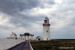
Loop Head lighthouse, now open to the public

Loop Head peninsula is situated on Ireland’s south-western coast, on the north side of the Shannon Estuary. The peninsula itself is a beautiful place to visit but as anyone who knows me will confirm, it was the lighthouse that drew me here. In recent years, the Commissioner for Irish lights (the body who run the lighthouses in Ireland) has been marketing a small number of lighthouses around the country as tourist destinations. Some as places for the public to visit, some as self-catering accommodation for tourists. Loop Head lighthouse straddles both camps, though I visited as a mere day-tripper looking for an opportunity to climb a tower 😀 The lighthouse keeper’s house on the site isn’t open to the public but photographs of the interior can be seen here 

Like many lighthouses around Ireland, the building on site now isn’t the only one which has stood there over time. Originally it was a 17th century stone cottage, replaced in 1802 by a regular lighthouse. Because of ongoing problems with the light signals coming from this lighthouse, it was decided to replace it with the present tower. Work began on it in 1844 and finished a decade later. The original lighthouse was eventually dismantled and the stone recycled. Or upcycled as they call it these days.

IMG_20170504_150301
The visitor’s centre is straight ahead

What’s on site?

The lighthouse itself is worth a visit if only to admire the handiwork of the men who built the tower. The interlocking stairs which run along the walls between the floors are stunning in themselves. It is still a working lighthouse to this day so I got a fleeting glimpse of the lantern in operation as we moved between floors. We were “whooshed” up and down the lighthouse rather quickly so I didn’t have a chance to take many photos. It was a shame it was a dull, overcast day because it reduced visibility a bit. Still, it wasn’t a wasted journey by any means.

IMG_4385
The only pic I got of the interior of the lighthouse. The stairs is wonderful though

The visitor’s centre is basic enough, with the usual multimedia displays, interactive screens, memorabilia etc. I was surprised to see there wasn’t some sort of coffee shop on site. The two vending machines which sell drinks and snacks were broken. Hmm…this is starting to turn into a TripAdvisor review 😀 I hope that over time they will develop the visitor’s centre further and add more facilities. Unlike the similar (better) visitor’s centre at Hook Head, they’re not over-burdened with existing buildings. Indeed, the toilets are in a portacabin outside. Not that I’m going to fault them for that – I’ve been in far far worse water closets 😀

While we were at the top of the lighthouse, the tour guide pointed out an area a little further down the headland with a connection to World War II. Ireland remained neutral during the war but over 80 navigation signs with the word EIRE were set into the ground along the coast. These were for American pilots to identify where they were flying. There was one of these signs at Loop Head, along with a hut which now lies in ruins. It is a shame that this hut has been left there like a pile of rubble. It is part of our history and would be an interesting addition to the area.

IMG_4408
The ruined remnants of the lookout hut

The headland is a lovely place to walk around, even on an overcast day. Someone said to me that they’d spotted dolphins further back up along the headland. By the time I got there though, there wasn’t a flipper to be seen. Oh well….