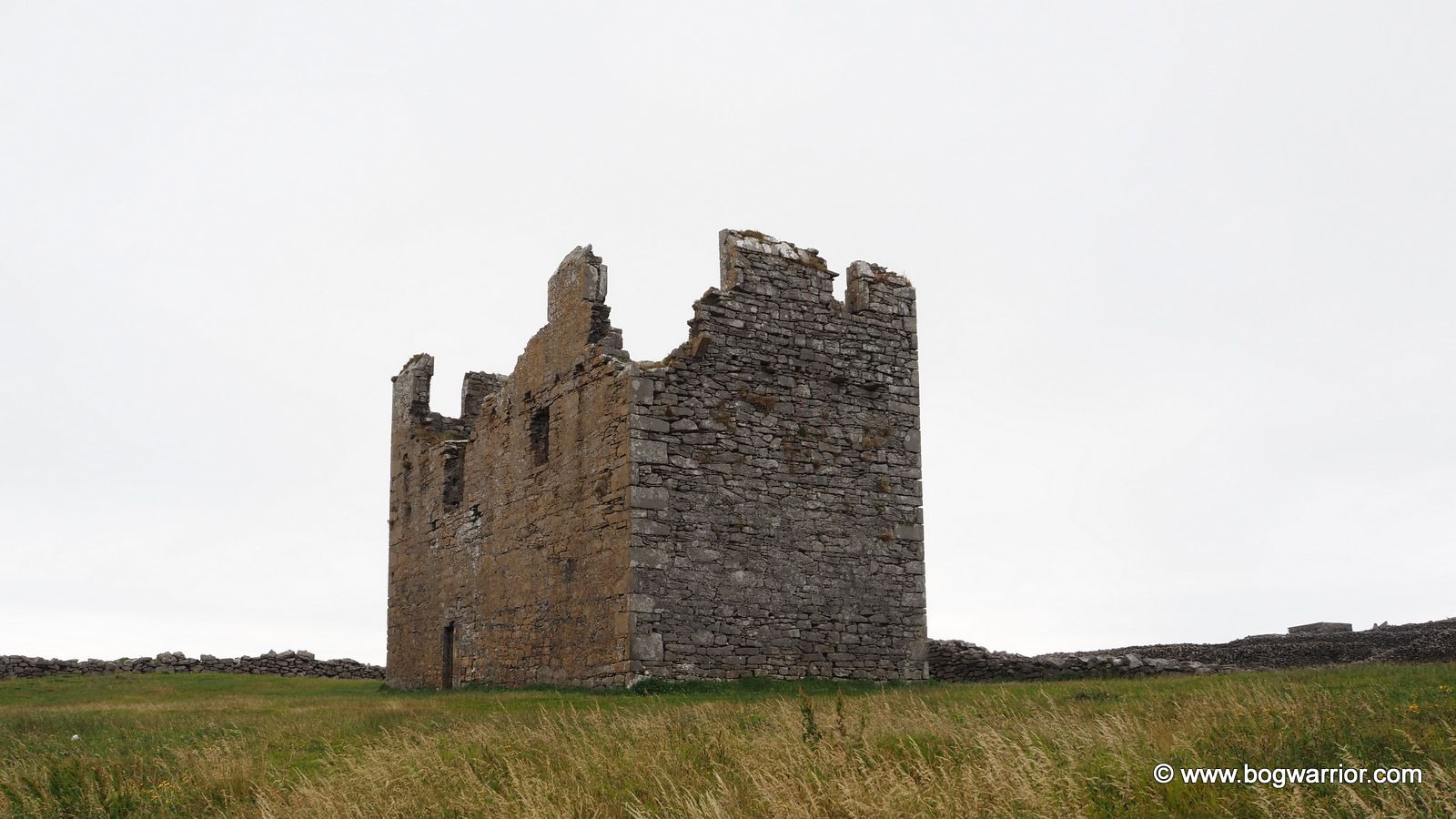
Balla’s Rogue Round Tower

The Mayo round towers have been remarkably easy to find so far. More importantly, they haven’t involved too much driving on narrow country roads. Even as a seasoned driver who’s used to those roads, there are times when I question my decisions and pray that there’s nobody coming in the opposite direction.

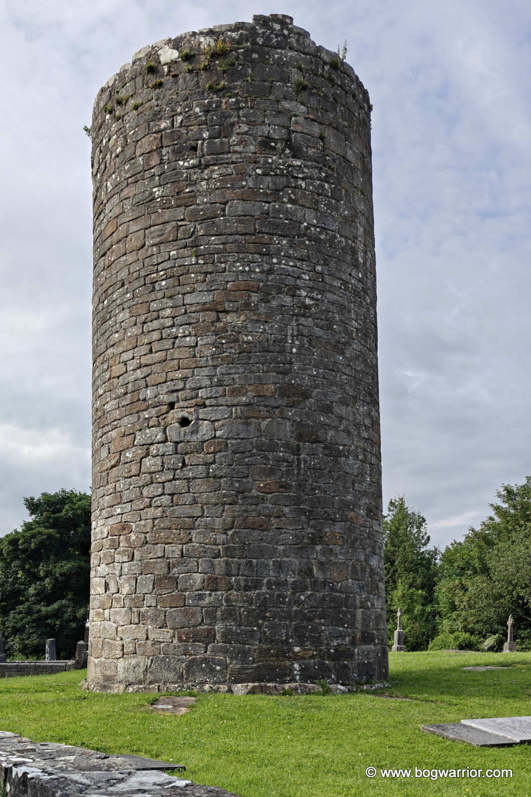
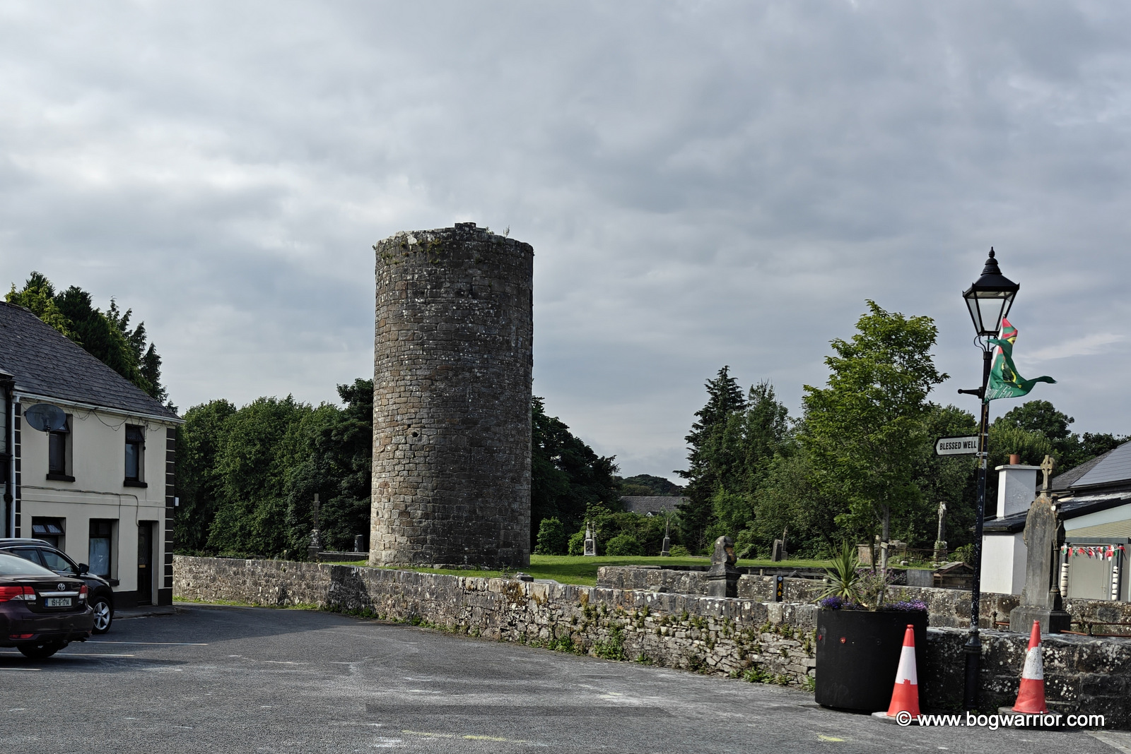
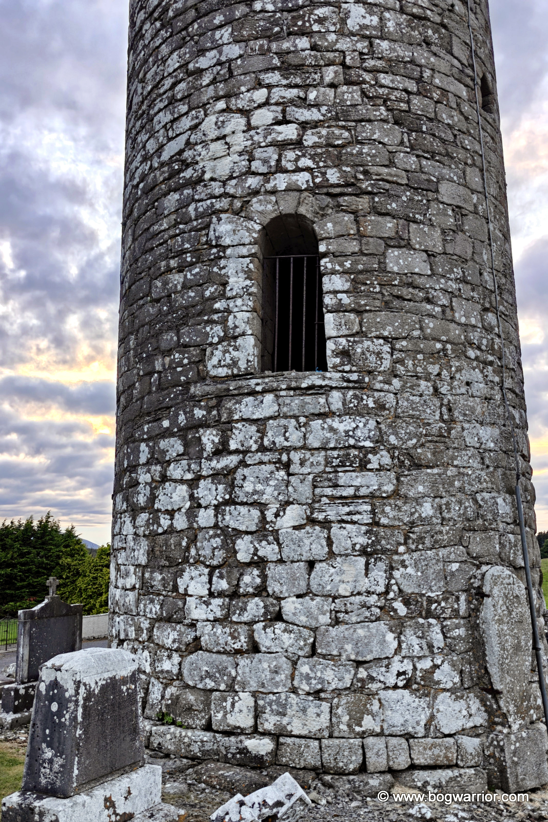
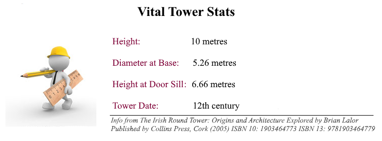
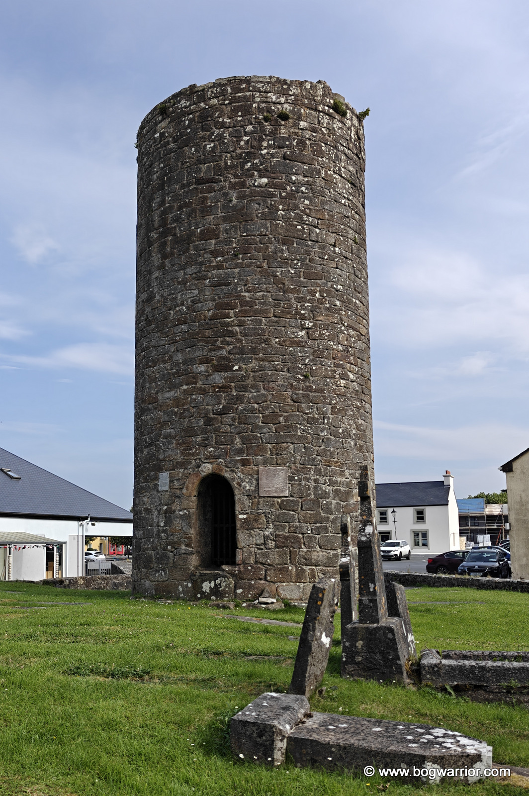
The village was on my route home, and for a change I didn’t need help from certain navigation apps from evil tech giants. Despite the tower being only about 10m tall nowadays, I spotted it from a distance and pulled the car up in the square beside it. The monastery at Balla was founded by St Mochua, who died in 637. The church was burnt in 780 and again in 1179. The round tower is all that survives from the monastery.
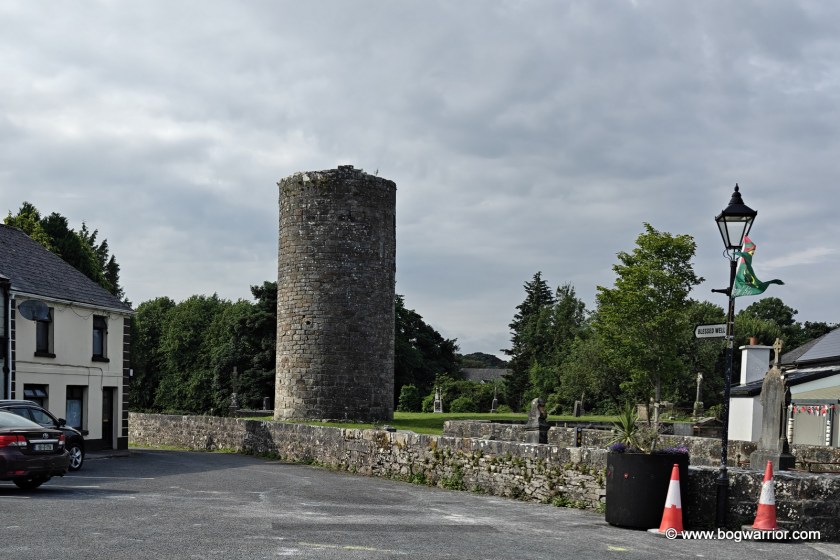
Balla round tower
Approaching from the square

The tower stands in a beautifully maintained old graveyard in the centre of the village. It is believed to have been about 15m tall as recently as the 19th century, and we know that a bell was installed here during the 1830s. It must have been considerably taller originally, but exactly how tall it was is another question. With the passage of time, who knows? Like the tower at Aughagower, just 30 km away, this one has two doorways.

Brian Lalor’s excellent book on Ireland’s round towers has been an invaluable companion on these trips and on this blog. He rather tantalisingly describes Balla as a “rogue tower”, which immediately made my ears prick up. Well, as much as a human’s ears can without looking ridiculous.

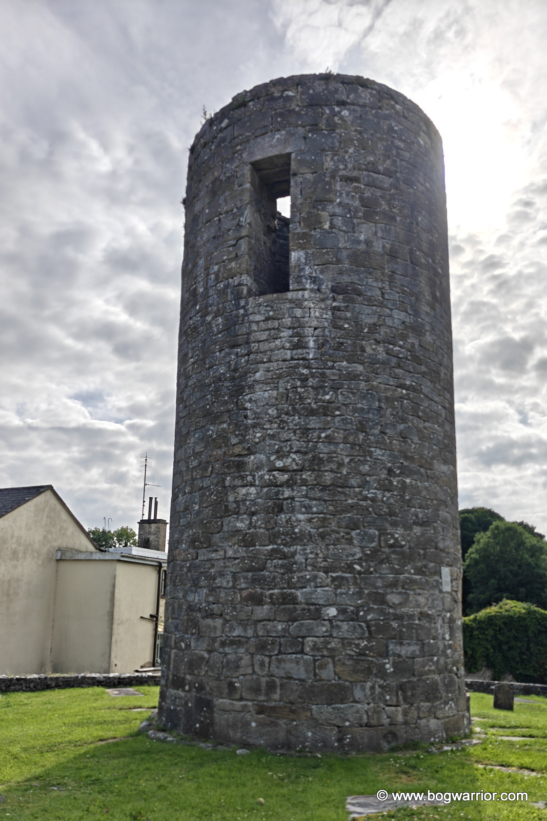
Part of the answer seems to lie with the original upper doorway. Lalor points out that it is lintelled, something more commonly found in some of the earlier round towers. But in Balla’s case, the doorway appears to have been altered while the tower was being built, rather than being part of the original design.

The masonry also suggests that the tower was built in several phases. So even before it was finished, it seems to have been going off-script.
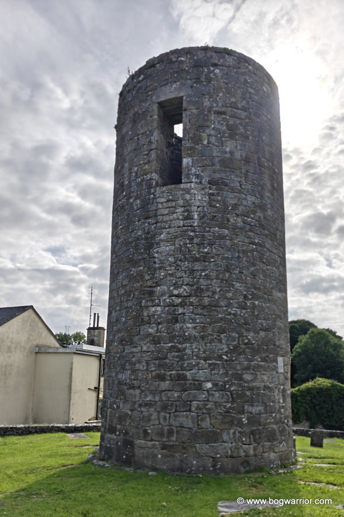
Balla round tower
The original doorway

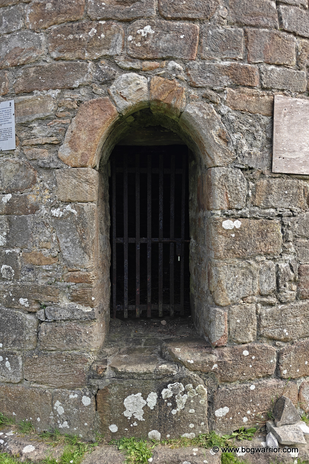
The second doorway is unusual too. In most round towers, the later ground-level doorway tends to be the crude one, while the original elevated entrance is the more carefully finished of the two. At Balla, it’s the other way around. The ground-level doorway is thought to date from the 16th century, and it’s a very nice piece of work. Part of it also appears to incorporate a piece of an early mediaeval cross slab that has been reused in the construction. Carrying on with the recycling theme, there are a couple of stones in the walls that look very much like bullauns. The tower also has what appears to be a very small window, or a gun loop, in the south-facing wall. Hmm.
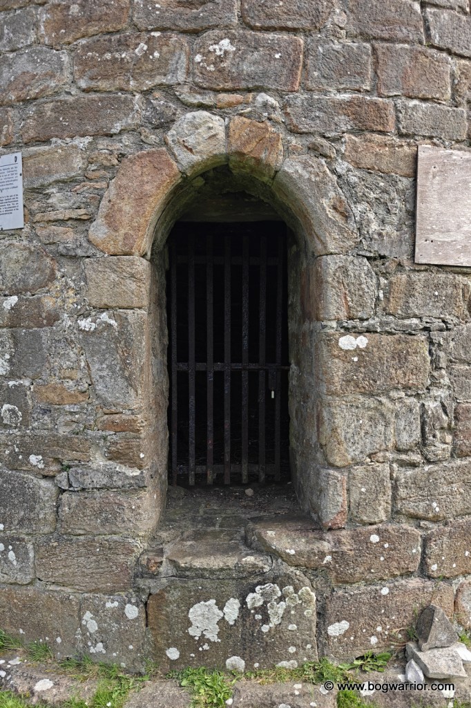
Balla round tower lower doorway

For a truncated tower with no crumbly old companions left in the vicinity, it has a lot going on. Even if you’re not a round-tower fanatic – like most regular people 😁 – it’s worth a quick detour if you’re on the road.
Getting There

The village of Balla is on the N60, roughly half way between Castlebar and Claremorris. It’s just off the village square, so it’s a piece of cake to get to.

Gallery
Meelick: A race against the dying light

If you read my post about my visit to Turlough round tower, you might remember me banging on about arriving so late in the evening that everything else had already closed. As a reminder of just how insanely long summer evenings are in Ireland, I managed to find time to visit the round tower at Meelick on that very same evening.

Meelick Round Tower
Meelick Round Tower

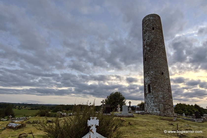
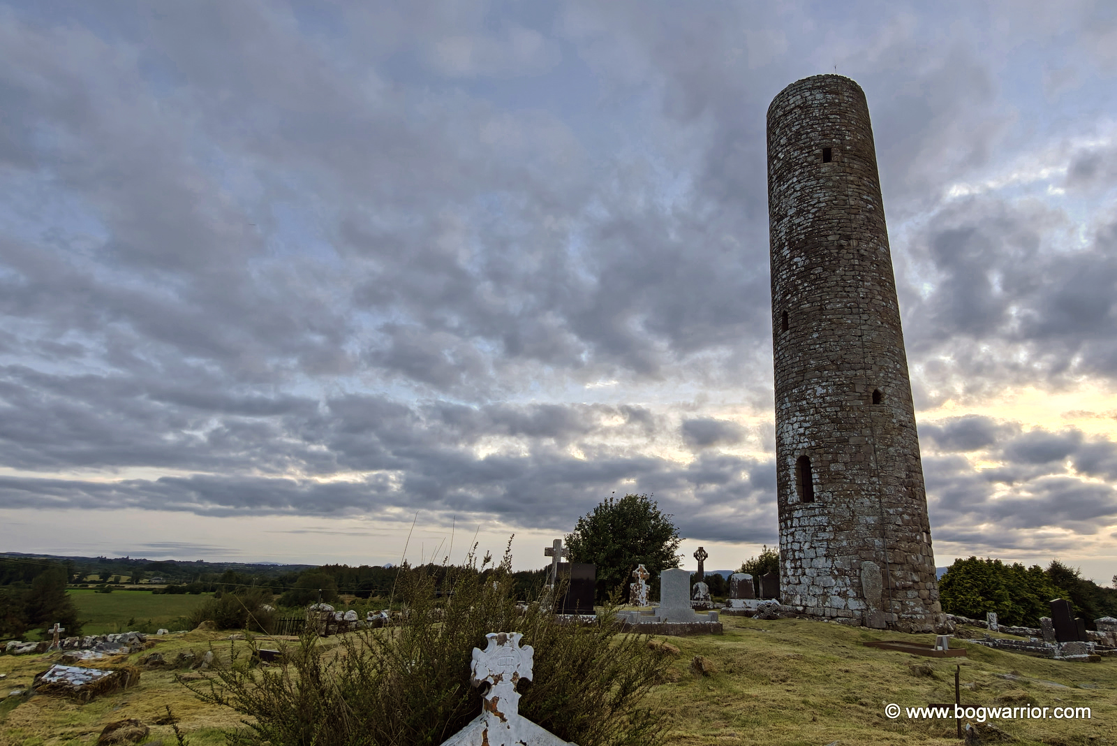
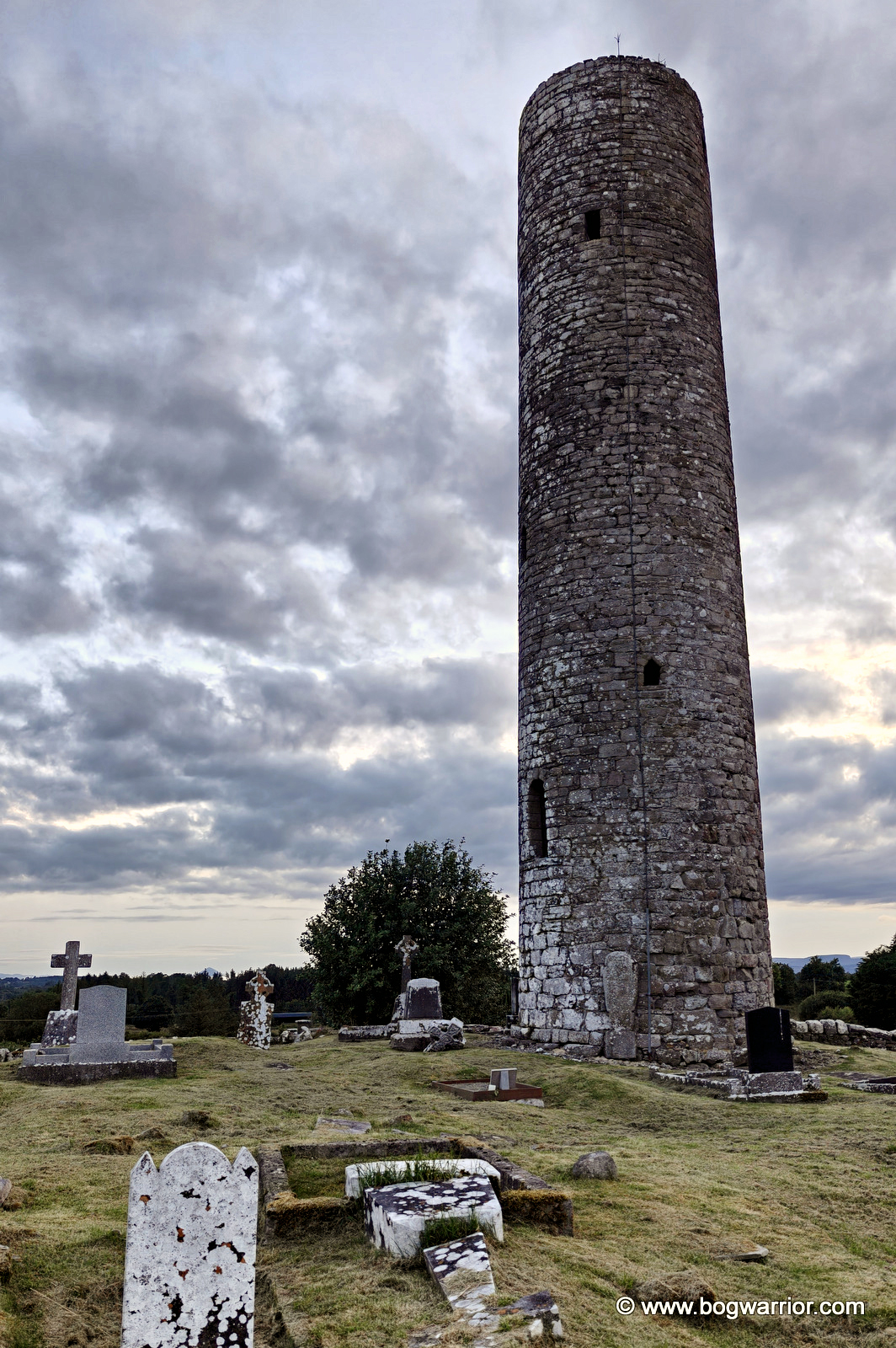
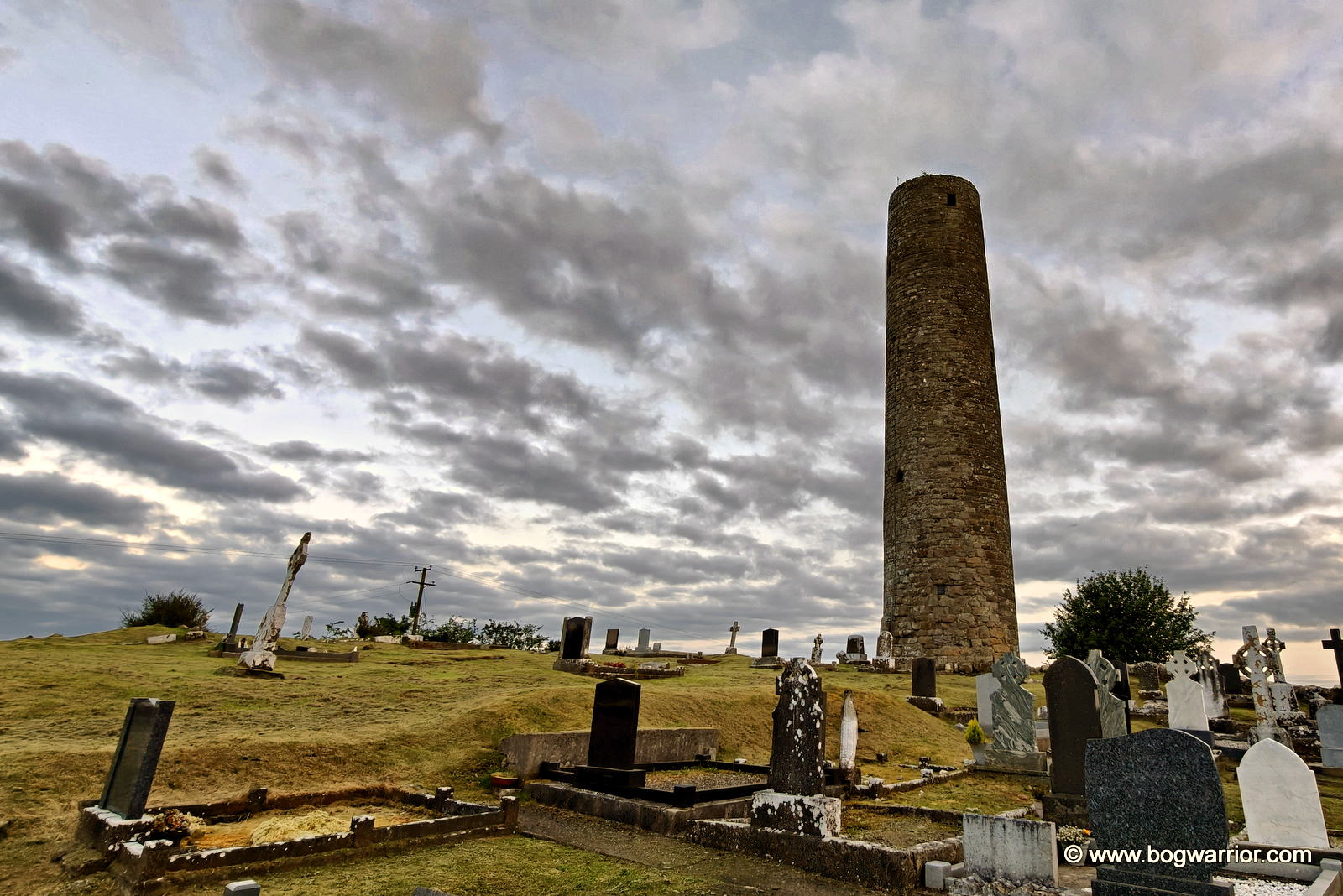
Meelick’s tower stands in a lovely, peaceful old graveyard on a hill out in the countryside. The modern cemetery is across the road, both sitting quietly alongside a country road with little to disturb the peace.

A word of praise is also due to whoever looks after the graveyard. The ground around the tower is far from even, but the grass has been cut beautifully. Whoever is responsible for keeping this place mown is a lawn-mowing hero!

As with Turlough, very little is known about the monastery that once stood here. We don’t know who founded it or when exactly it was established. In fact, the round tower is now all that remains of the monastic site.

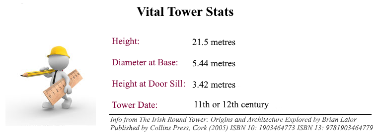
And it is an impressive survivor. Although Meelick’s tower has lost its cap, it still cuts a fine dash, rising about 21 metres above the surrounding countryside. From its position on the hill, it has a commanding view over the fields and landscape around it.

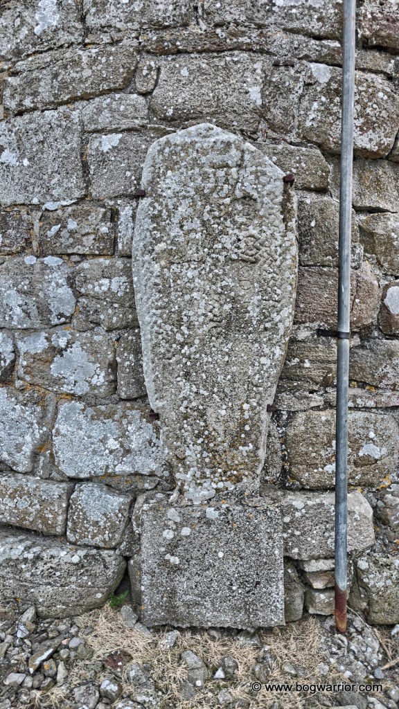
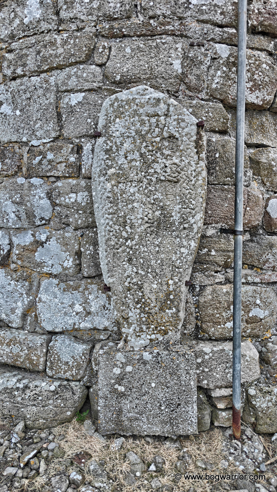
There is an interesting little detail on the eastern side of the tower. Attached to the wall is an old cross slab, thought to bear the inscription “Or do Gricour”, interpreted as meaning “A prayer for Gricour”. It is a small surviving fragment of the community that once existed here, and perhaps the closest thing we have to a name from Meelick’s early history.

The rather old grave slab

There isn’t a huge amount left to see at Meelick, but that is part of what makes the place appealing. There is no ruined church crowding the round tower, like in Turlough, or anything else other than graves and the lovely countryside.

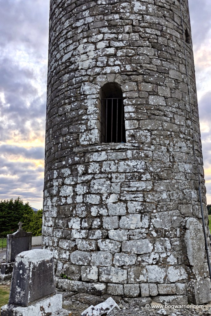
Doorway of Meelick Round Tower

By the time I was taking my photographs, the light was finally beginning to fade. This caused my phone to overcook the photos and made them look like those HDR pics which were all the rage years ago. You know the ones. I’ve tried to calm the photos down afterwards, but there’s only so much you can do. Perhaps it’s an excuse to call back next time I’m in Mayo.

Getting There

The round tower is on a quiet country road and is easy to find. There’s plenty of parking, helped by the presence of the modern-day cemetery across the road.

Turlough Round Tower: Open All Hours

One of the nice things about going round tower hunting on a long summer’s evening is that there is time to pack lots of sightseeing in. The downside, of course, is that there is also plenty of time to spot places that look interesting but have been closed for hours.

Turlough cemetery
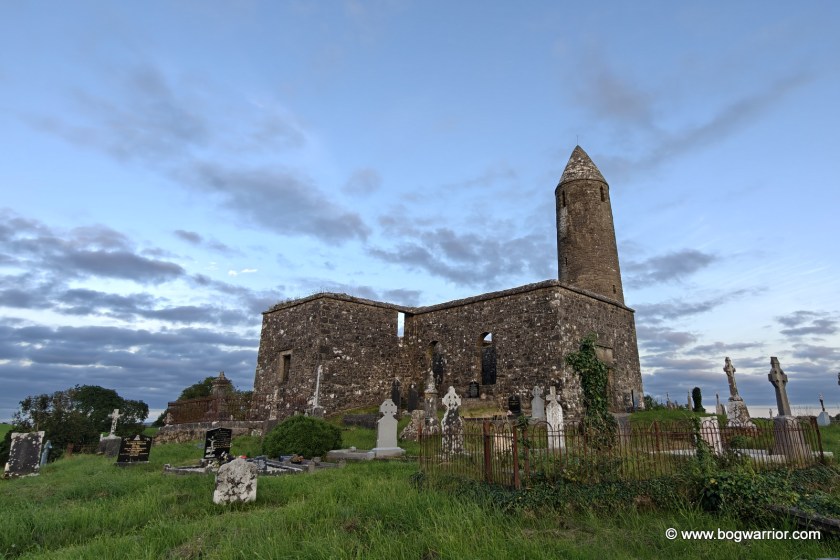
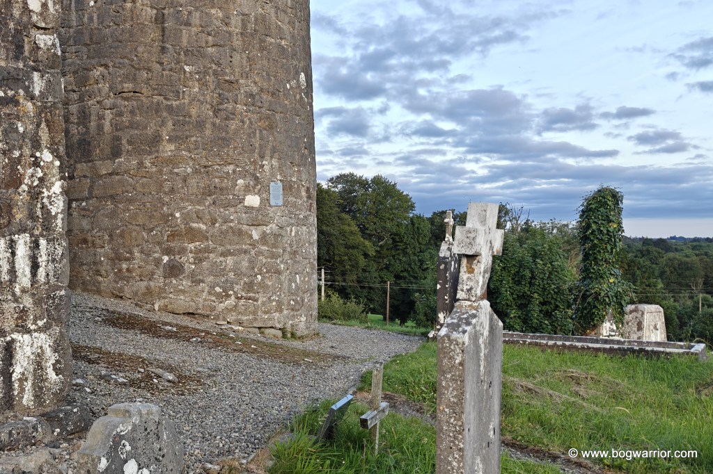
The tower, as seen from the entrance gate

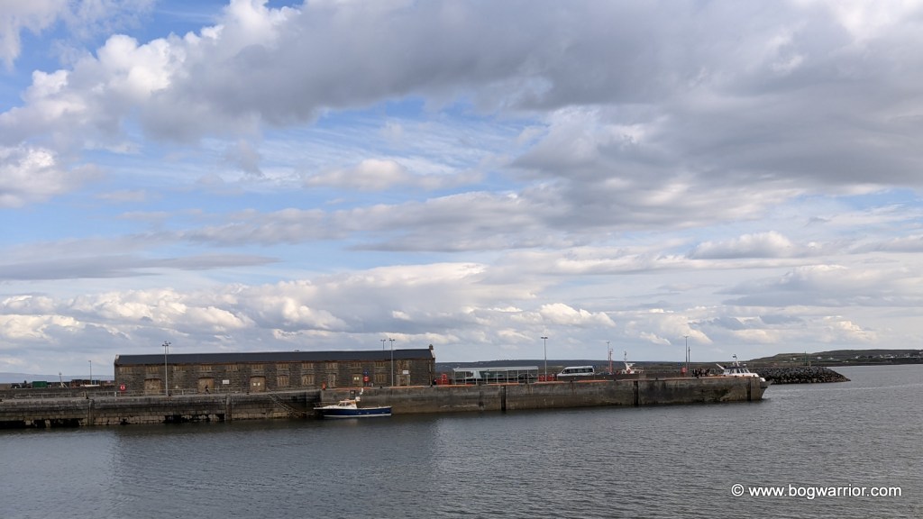
The round tower I was in search of was the one on a hill overlooking the village of Turlough, Co. Mayo. To get there, I had to drive past the gates of The Museum of Country Life. It looked like a place worth visiting, but it had sensibly been closed for hours by then.

Happily, the graveyard where Turlough’s round tower stands is open at all hours. There are no neighbours to annoy, either inside or outside the cemetery walls, which is always a good thing. Allegedly.

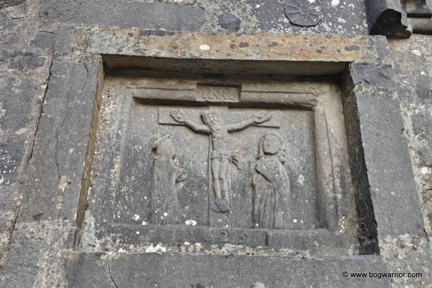
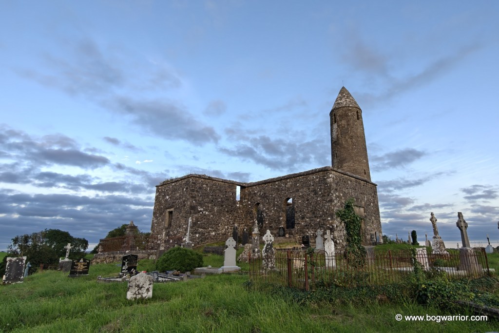
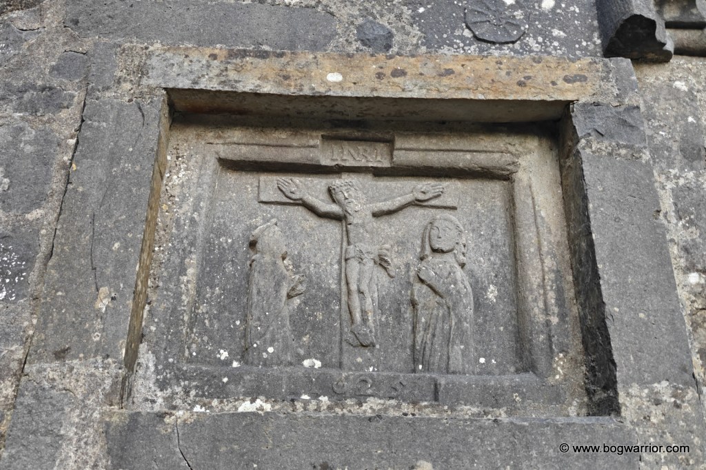
The tower stands on top of a hill beside the remains of a ruined church. The church dates from the eighteenth century, although parts of an earlier church are incorporated into it. One of its walls has a particularly striking plaque depicting the Crucifixion, dating from 1625. “Lovely” probably isn’t the appropriate word for a scene involving crucifixion, but it is certainly an interesting piece of decoration.

1625 crucifixion plaque

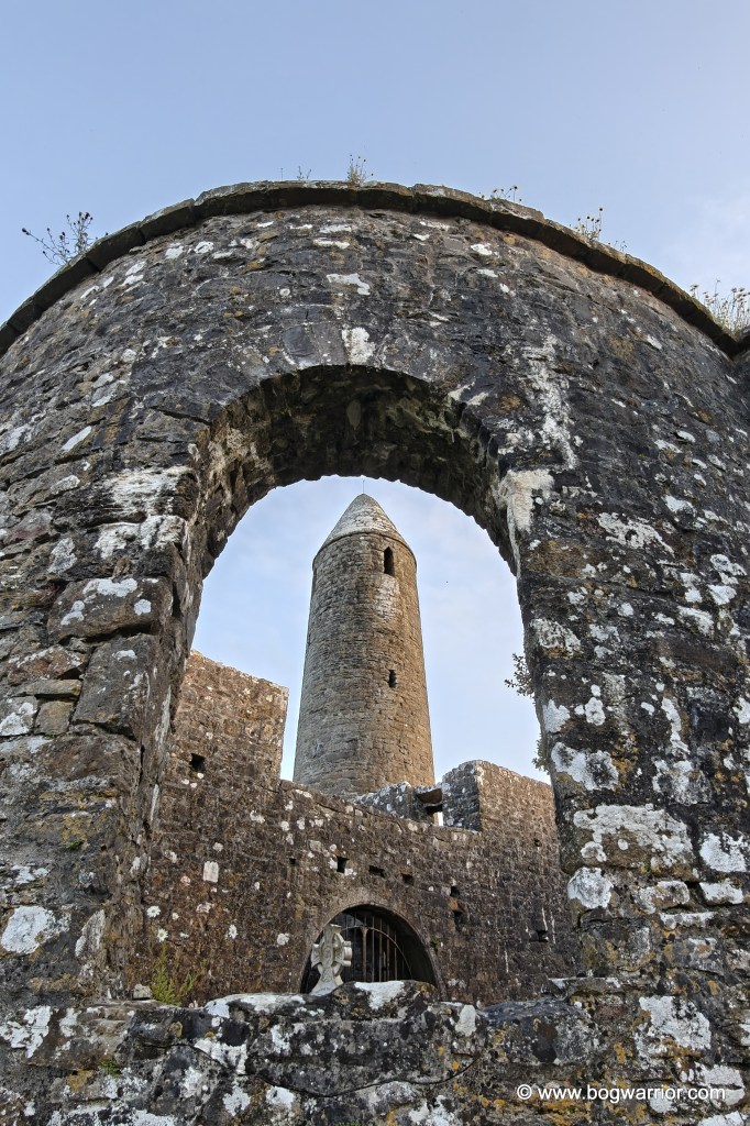
Little is known about the monastery that once stood here. We don’t know who founded it or exactly when the round tower was built. Tradition has it that St. Patrick founded the original church which stood here, and that’s as good as it gets, really. What is immediately noticeable about the tower is its proportions. Unlike some of Ireland’s taller and more elegant round towers, Turlough’s is comparatively short and looks distinctly squat. It’s likely the tower’s lack of height was down to economics. Commerce was a thing even in olden times.

Unhappily the later church has been built right up against the tower. It actually gets in the way, literally and visually, and blocks a part of the tower. It’s one of those cases where you wish that the builder of the later church had picked a slightly different spot. Which is especially frustrating because the church is right up to the doorway of the tower, ruining what is (to me) a highlight of round towers.

The tower doorways
The doorways

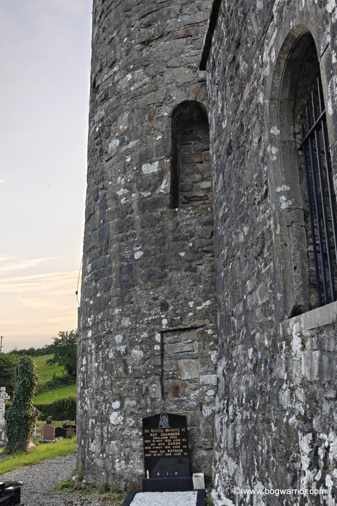
The original doorway of the tower has been blocked up, while a second doorway was added at a later date and has also been blocked. A grave now sits immediately in front of it,

The ruined church itself is locked, so there is no opportunity to poke around inside. There is still plenty to see outside, however, and the position on the hill makes the visit worthwhile even beyond the tower itself. The surrounding views are pleasant, and on a long summer evening there is little reason to hurry away.

And if you happen to arrive after the Museum of Country Life has closed, at least the round tower isn’t keeping office hours.

Getting there

This one is nice and easy to find and access. There’s plenty of room to park on the road outside.

Clare Island – the clock beat me

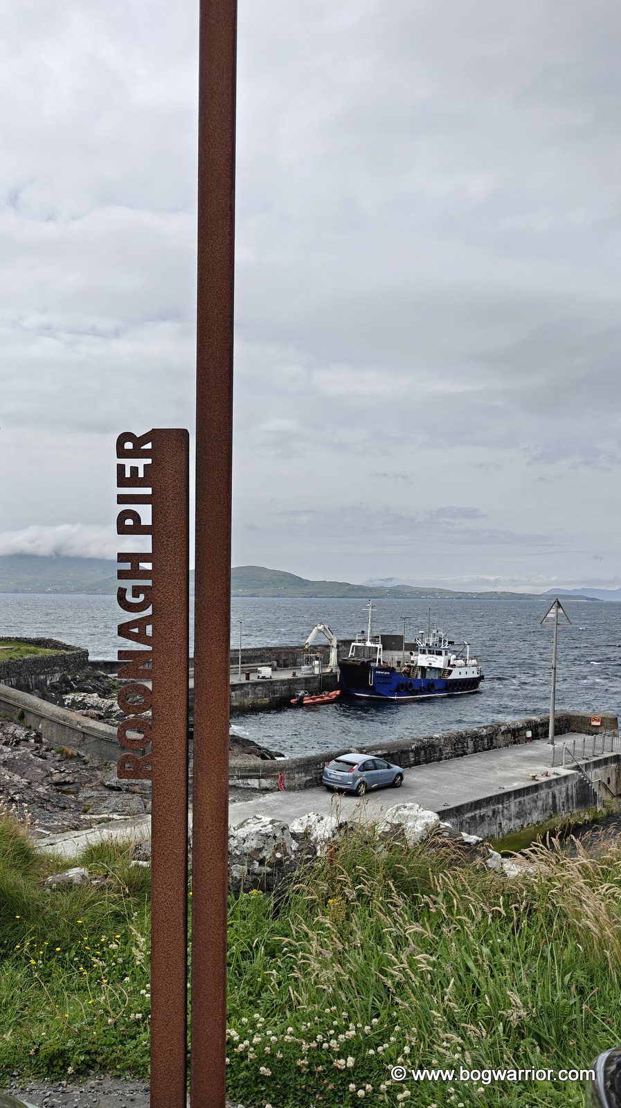
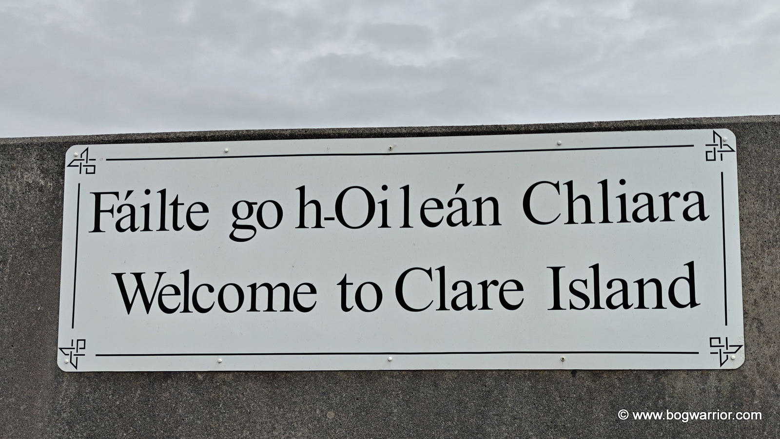
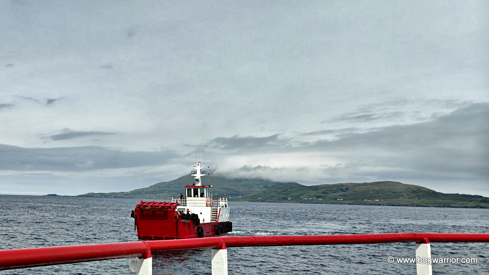
As the ferry pulled away from Roonagh Pier, 1996’s Clare Island by the Saw Doctors was playing on the silent jukebox in my head. The song has a wonderfully carefree feel to it, although I should point out that I had no intention of following all of its characters’ example. They may have gone skinny-dipping; I, thankfully, kept my clothes firmly on.

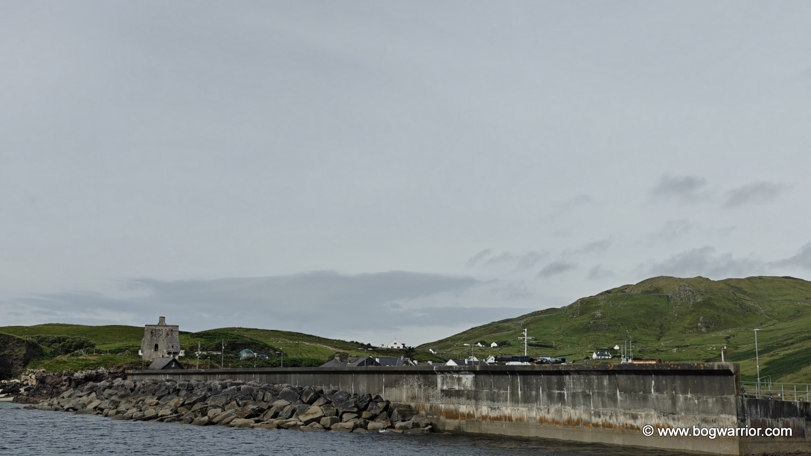
Grainuaile's Castle
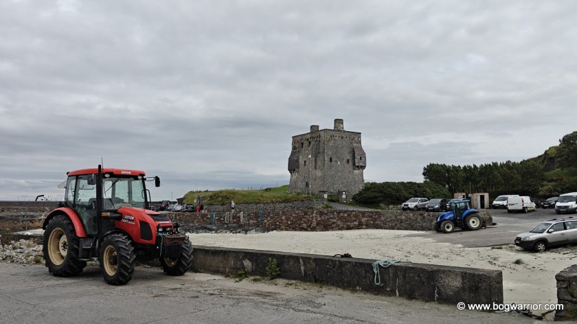
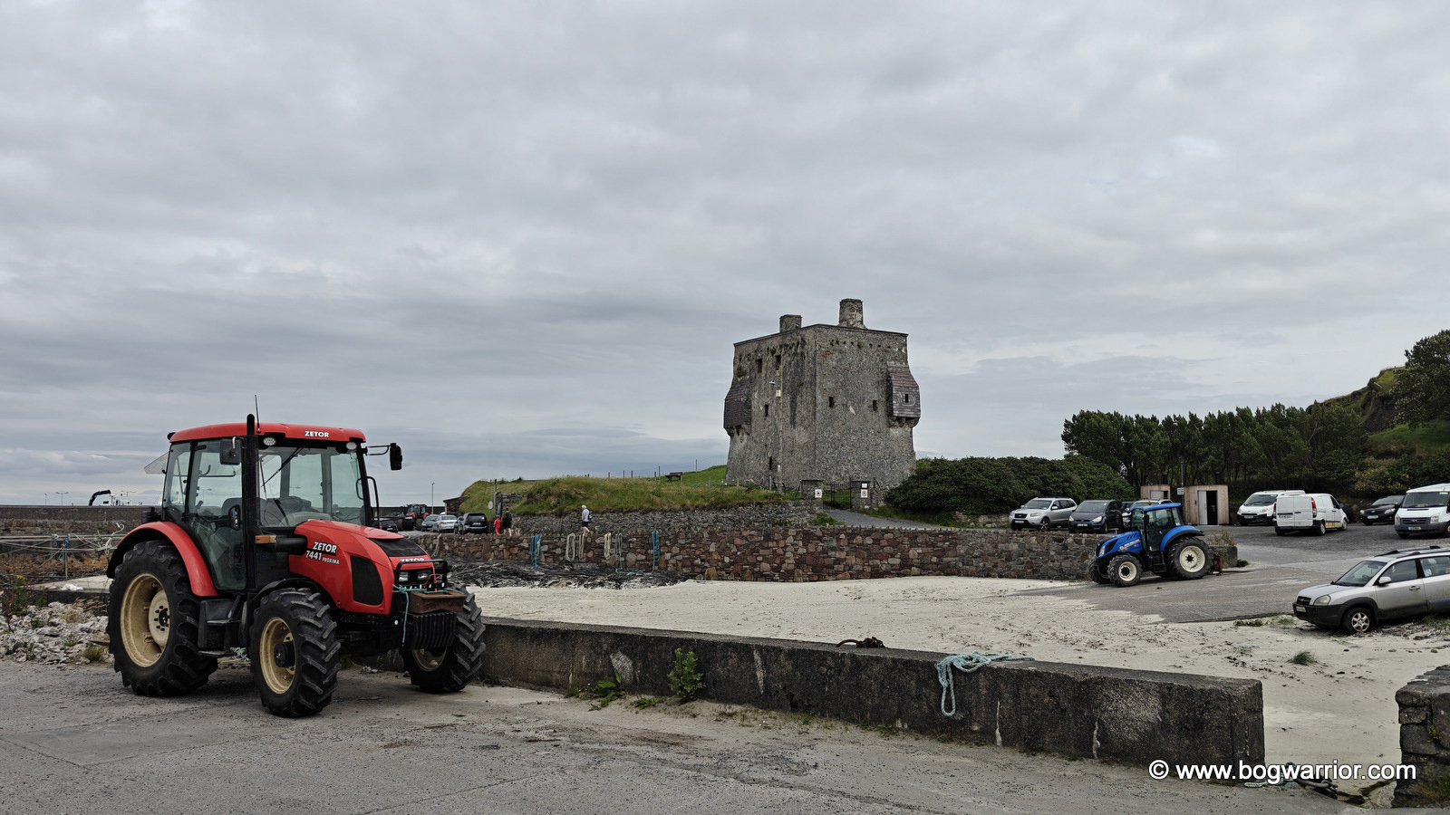
Grainuaile’s Castle and some serious tractorage

It’s hard to miss the imposing tower house standing beside the pier. Known as Granuaile’s Castle, it is associated with one of the most formidable women in Irish history. Grace O’Malley (c. 1530–c. 1603) was a 16th-century chieftain and seafarer, better known as the Pirate Queen. Her Irish name, Gráinne Mhaol (anglicised as Granuaile), has its own story. According to tradition, she cut off her hair to disguise herself, with mhaol referring to baldness or being bare-headed. Unfortunately, the castle is closed to visitors, so all we could do was peer in through the windows and door. Still, it was a fitting place to begin exploring an island so closely associated with the legendary O’Malley family.

As I was on a day trip, cycling seemed the perfect way to explore the island. It was slow enough to take in the scenery but fast enough to cover some ground — although, as I would discover, Clare Island has a few hills that make you reconsider the definition of “fast enough”.

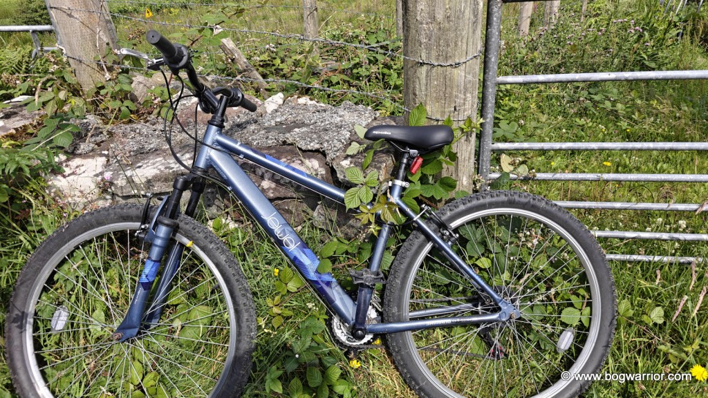
Obligatory hired bicycle shot

The Abbey

My main destination was Clare Island Abbey, which is thought to date back as far as the 12th century. It is closely associated with Grace O’Malley, whose castle I’d been admiring just 45 minutes earlier. According to local tradition, she was baptised, married and buried here — the auld “hatched, matched and dispatched”.

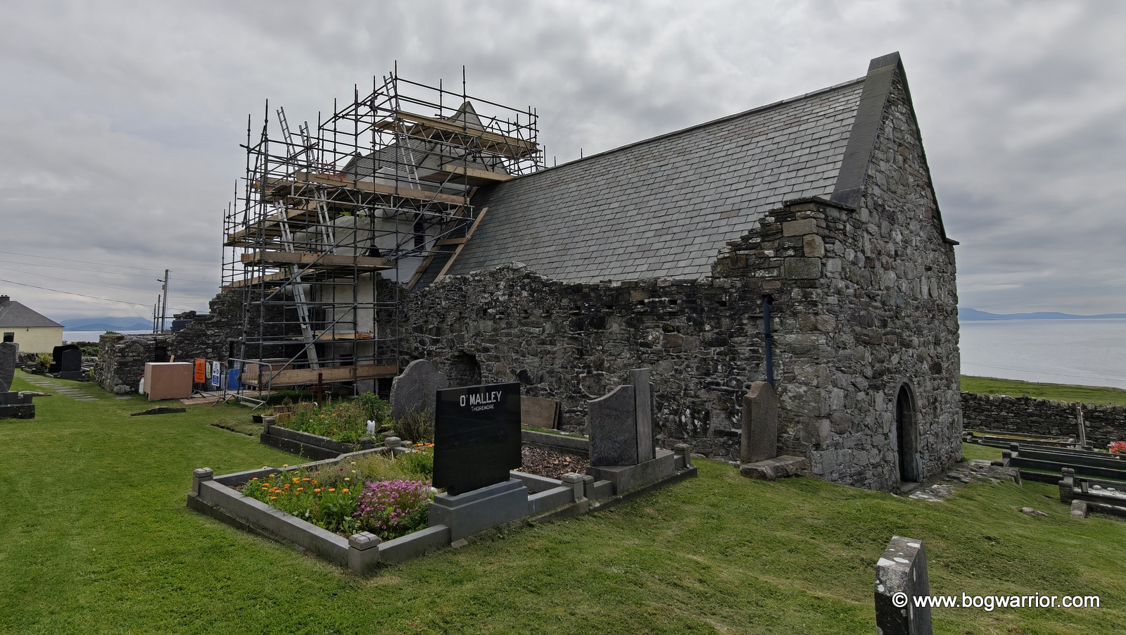
It is possible that she was laid to rest in the O’Malley tomb, which still survives within the abbey. Wandering around the graveyard outside, it’s hard to miss the many headstones bearing the O’Malley name. It certainly brings home just how deeply rooted the family is in the island’s history.

Clare Abbey
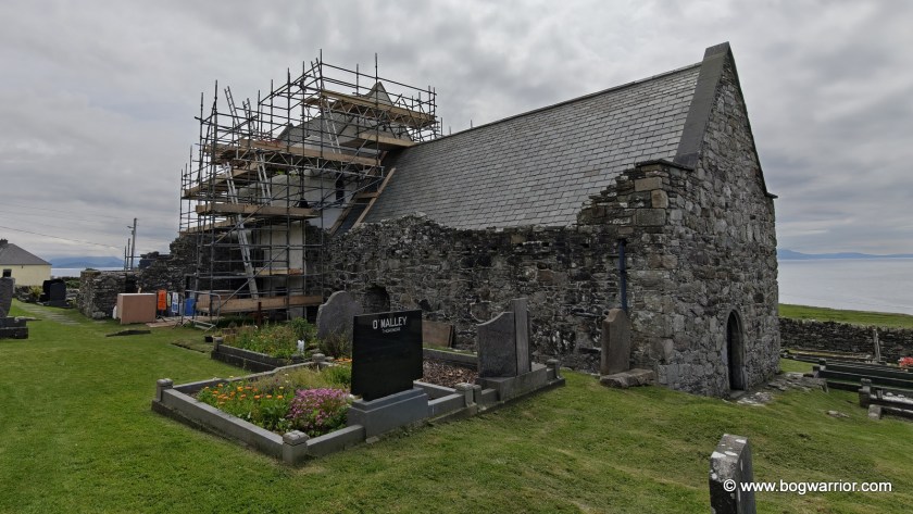
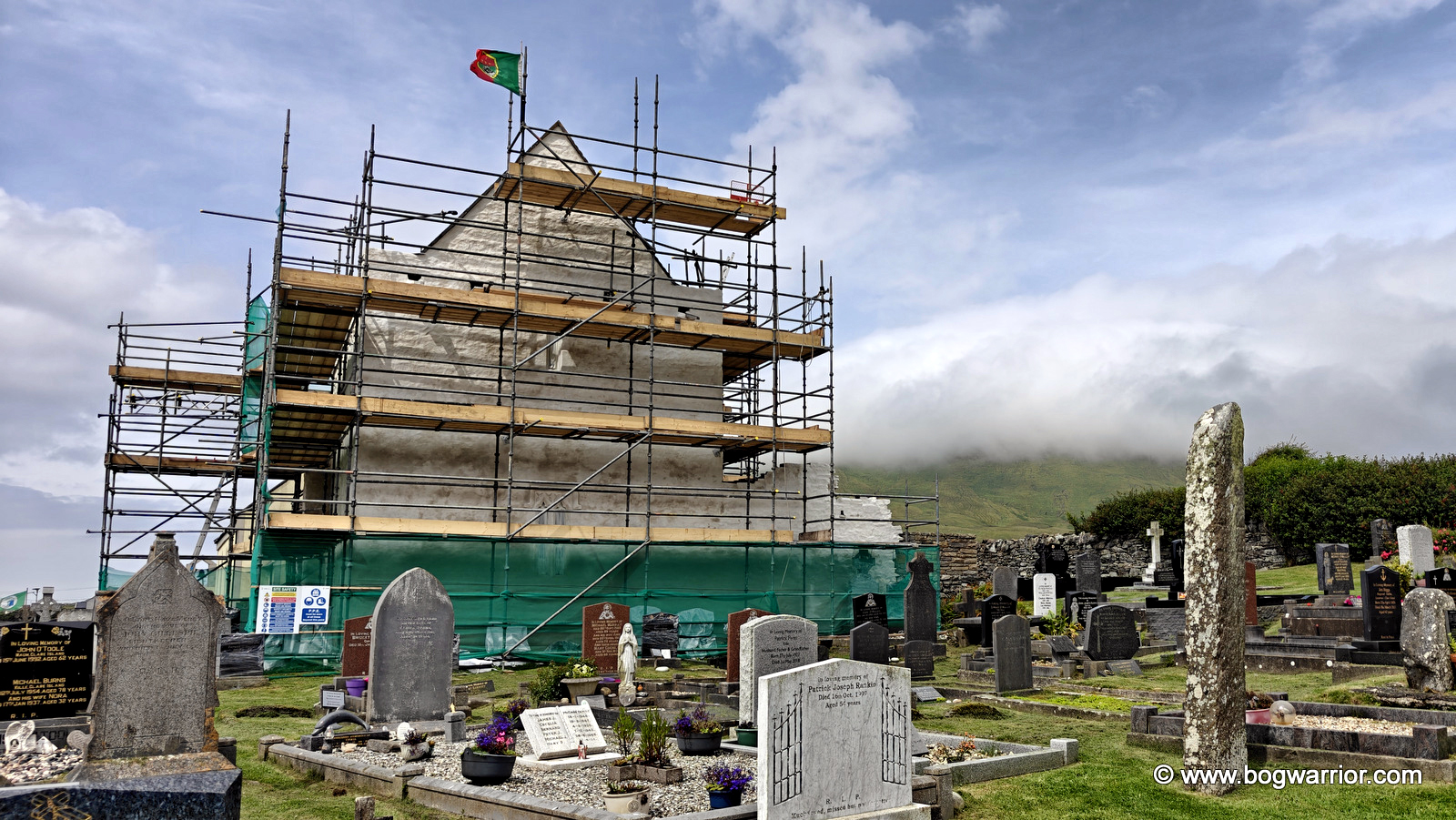
Clare Island Abbey

Yet again, my talent for visiting places that are under scaffolding raised its head. Still, it’s good to see an old building being maintained rather than left to the elements.

Inside, I spent some time looking at the faded artwork and listening to a conversation nearby. One of the group had visited the abbey many years earlier and recalled that, at the time, the walls had been “weeping”. He wondered aloud about how much of the original artwork had since been lost. Indeed.

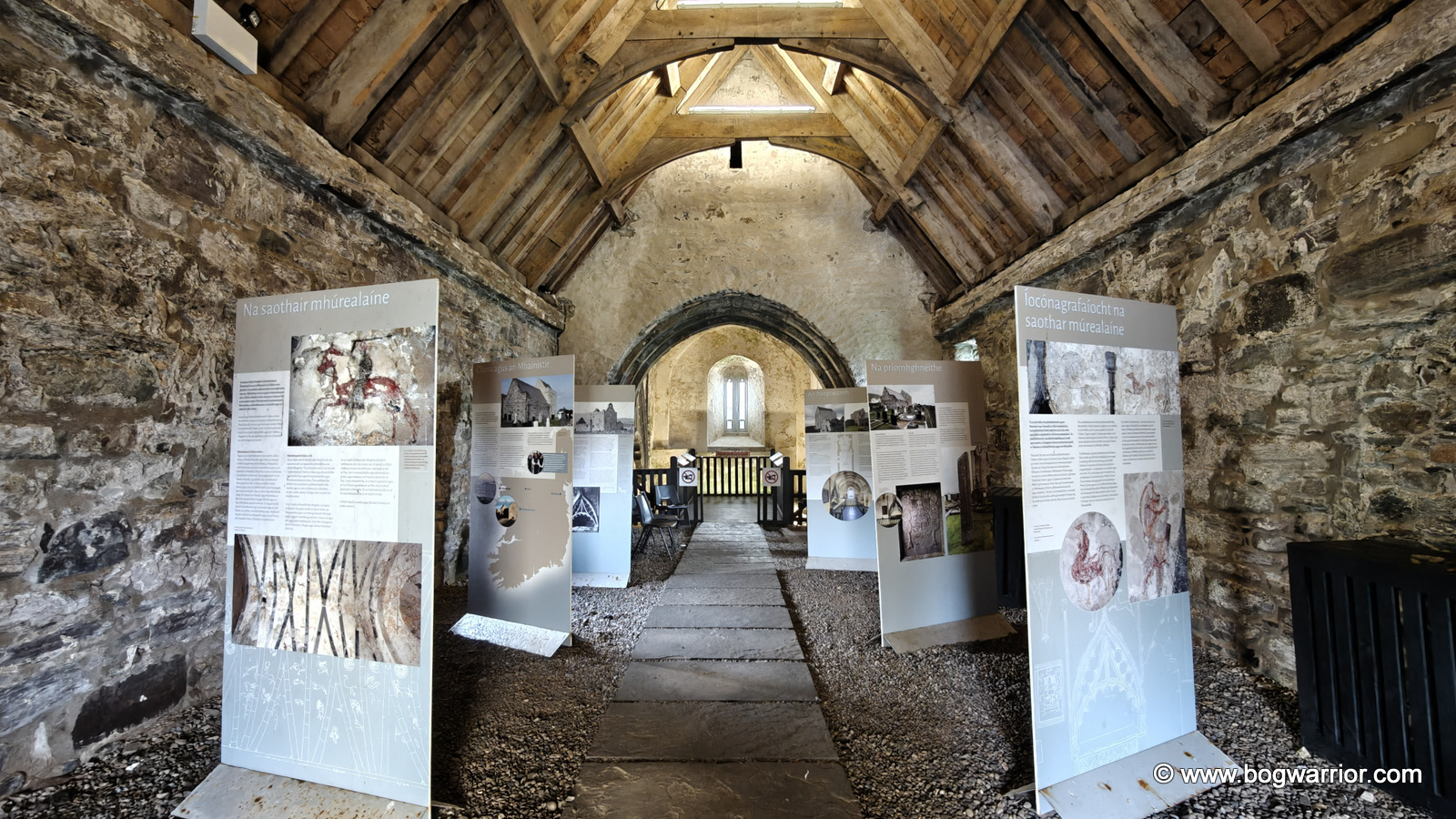
The nave contains a number of bilingual signs with interesting information and photographs showing the abbey throughout the years. The highlight, though, is undoubtedly the chancel at the opposite end of the building.

Interior of Clare Abbey
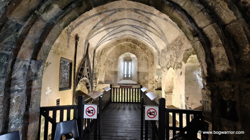
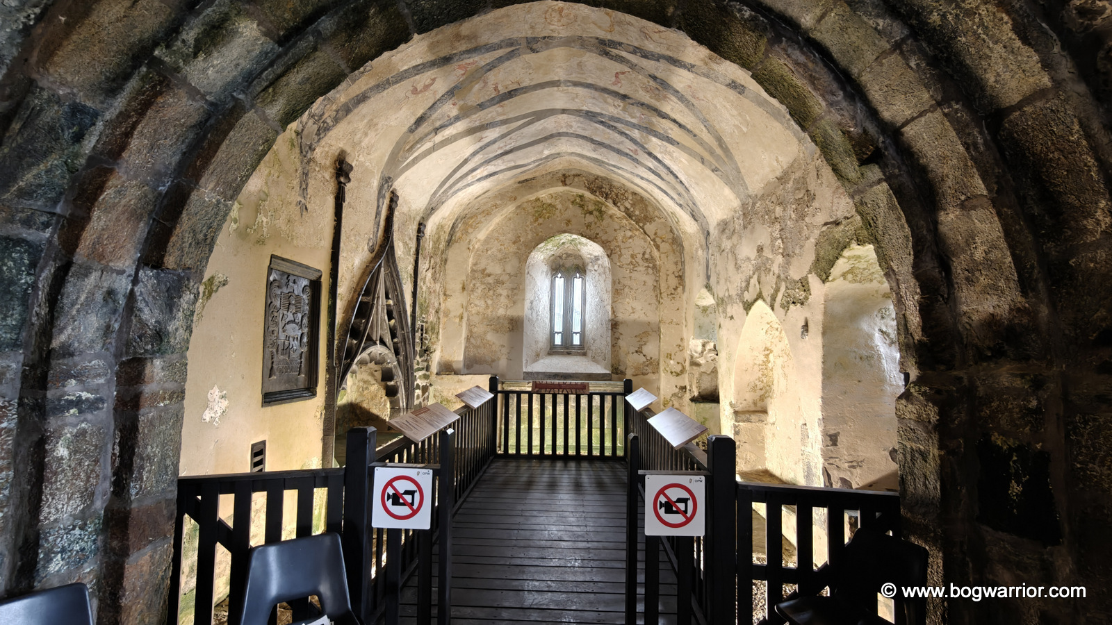
Chancel of Clare Abbey – I didn’t use a 1990’s camcorder so hopefully nobody will come after me!

The walls and ceiling are decorated with a wonderfully eclectic collection of mediaeval artwork: dragons, a cockerel, stags, birds and trees, as well as people on foot and horseback and even a harp-playing musician. Some of the paintings are now quite faint and difficult to make out, but thankfully the information panels include diagrams showing what you’re looking at. The O’Malley tomb and coat of arms, on the left-hand side, are particularly striking.

The Old Napoleonic Signal Tower

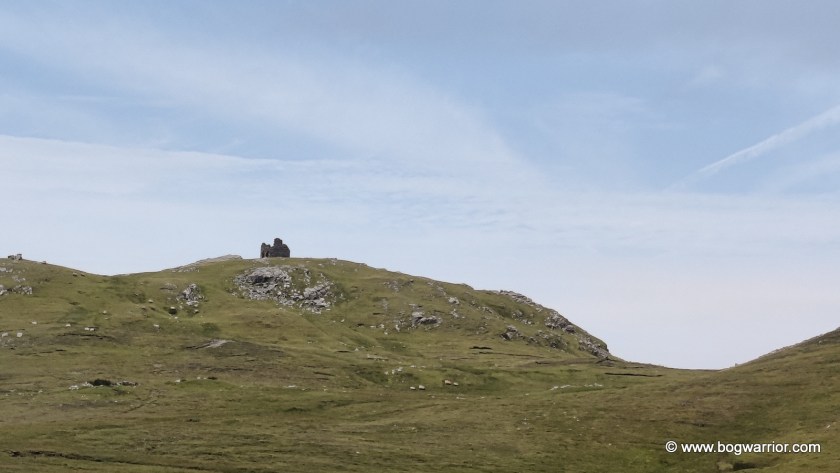
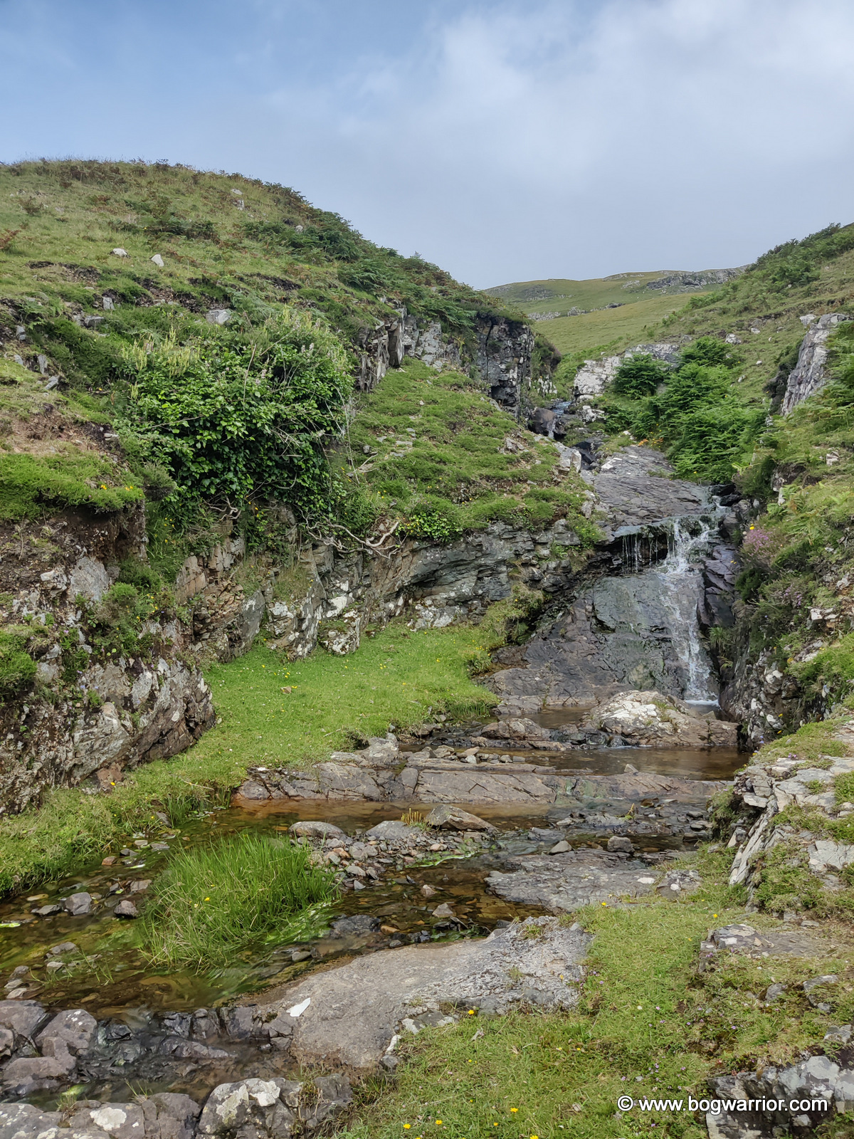
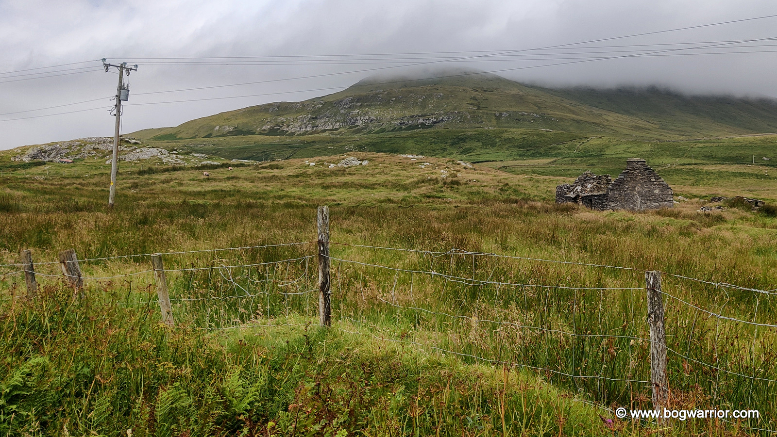
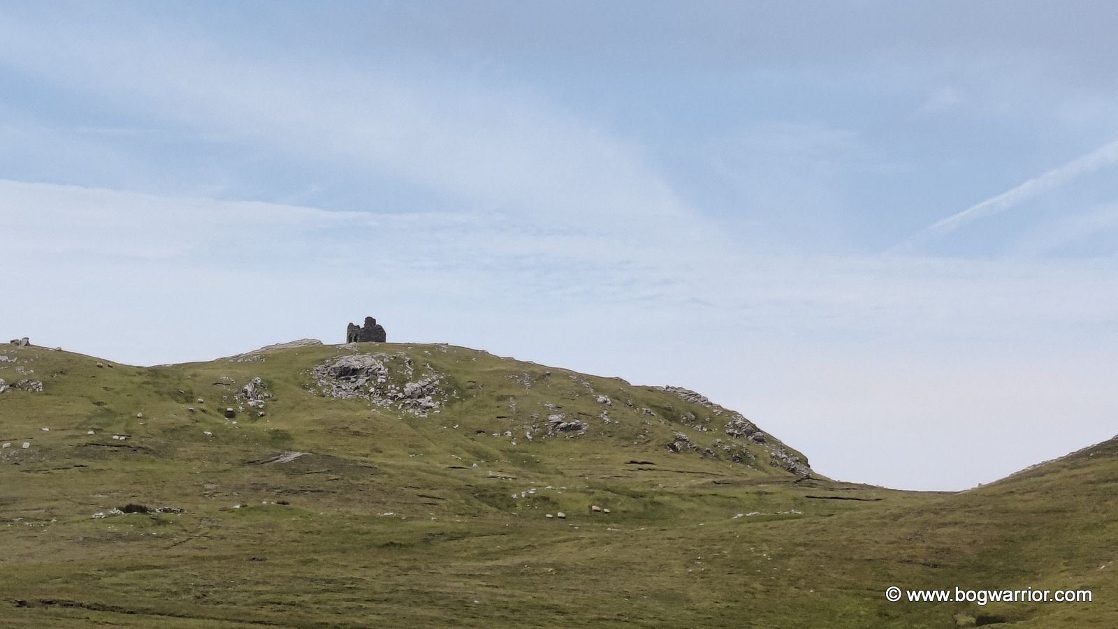
Being something of a tower fiend, I couldn’t leave Clare Island without attempting to find the ruins of the old Napoleonic signal tower, accompanied by the reassuring tones of Google Maps in my ear. It was a scenic journey, taking in sea views, a lovely waterfall, sheep and, looming ahead, a rather large hill with clouds hanging ominously over it.

All went well until the road ended and Google Maps announced that I had reached my destination. I looked at the phone, I looked at the territory, and all I could do was laugh. I was standing at the edge of a bog, looking up at a big hill. The signal tower was at the top of said hill, with no obvious route to reach it. I looked at the landscape. I looked at the bicycle. I looked at the remaining time. I decided that perhaps the signal tower had been quite adequately admired from a distance. At least I can say I saw it.⬇️

Napoleonic Tower
Napoleonic Tower

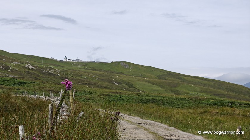
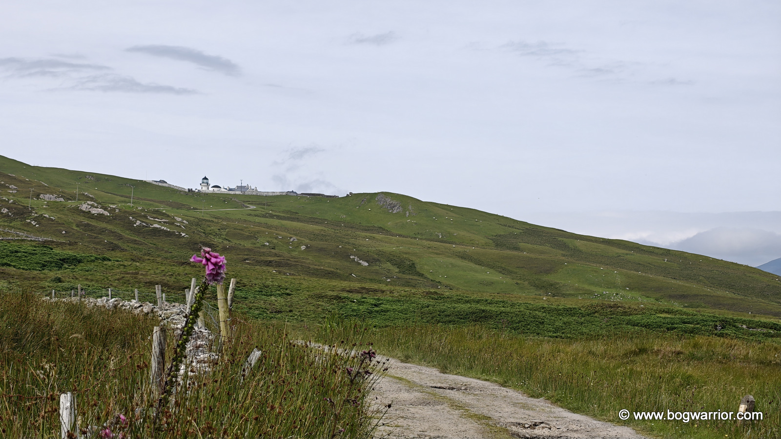
I still wanted to see the lighthouse. These days, it’s rented out to visitors who want to spend more than a busy day trip on the island. The journey from almost reaching the Napoleonic signal tower to the lighthouse involved plenty of uphill cycling, but it also came with some stunning views.

This was the sort of scenery that makes you forget you’re supposed to be watching the clock.

Unfortunately, the clock had not forgotten me.

By the time I reached the gateway leading to the lighthouse, I knew this was going to be another “not quite” visit. One look at the long and winding road leading up to it was enough to make up my mind. It was time to turn around and head back to the pier.

Clare Island Lighthouse

Much as I liked Clare Island, I liked the thought of getting back to my car at Roonagh Pier even more. Sometimes a day trip isn’t about seeing everything. Sometimes you have to leave a few things for the next visit.

Getting There and Getting Around

Two companies – Clare Island Ferry and O’Malley Ferries run numerous daily ferries from Roonagh Pier, which is 7 km from Louisburg, Co. Mayo. The ferry journey took roughly 20 minutes.

There is a bicycle hire place not too far from the pier, should you wish to explore on two wheels. If you’ve read this far, I’d advise against bothering to seek out the Napoleonic Tower unless you really like bogs and ruins 😁. There is a shop near the island church and school, plus a small hut on the pier. I didn’t have time to sample any food or drink in the local hostelries.

Gallery – click on an image to start the slideshow
Belfast – A flying visit on the train

In March of this year, I finally got around to visiting Belfast. I’ve only been to Northern Ireland sporadically, and not recently. I’d never been to Belfast either, so it was time to fix that omission.

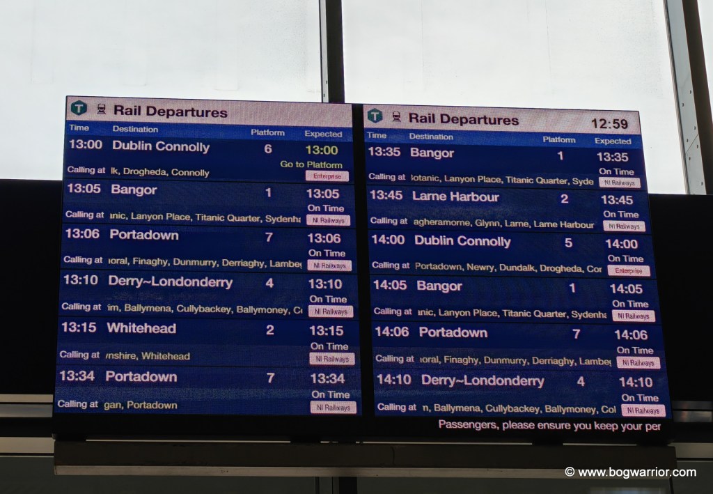
Rather than driving, I travelled there by train. I began the long trek north by catching a morning train to Heuston Station, then a Luas across Dublin city centre to Connolly Station. Then finally, an Enterprise train to Belfast. I’d never caught a train to or from Connolly Station, so the journey along Ireland’s north-east coast was a pleasant diversion. A lifetime of shuttling up and down the line from Heuston had long since killed my enjoyment of simply looking out the window! The Enterprise train was modern, comfortable, and not too crowded. It also boasted that rarest of beasts on Irish trains these days – a catering trolley. Seriously, Irish Rail, what are ye at? The pandemic was 5 years ago… The trains to Belfast now terminate at the brand-new Grand Central Station. It’s within walking distance of the city centre, which is ideal if you don’t want to be bothered with buses or taxis. Should you wish to travel further into Norn Iron, there are plenty of buses and trains to get you there.

Trains to and from Dublin run every hour

I didn’t get to explore the city to any great extent (hence the flying visit comment) so here are the highlights.

The Ulster Museum is in the grounds of the city’s Botanic Gardens and has been extensively renovated in recent years. There’s plenty to see, but a highlight for me was a recreation of the famous blackboard from Derry Girls. It’s a beautiful building and I’ll definitely make a return visit when I have more time on my hands. The museum and Botanic Gardens are next door to Queen’s University. It was lovely to feel the energy that comes with a third-level institute, while at the same time being glad that those days were well behind me!

I keep my toaster in a cupboard #truestory

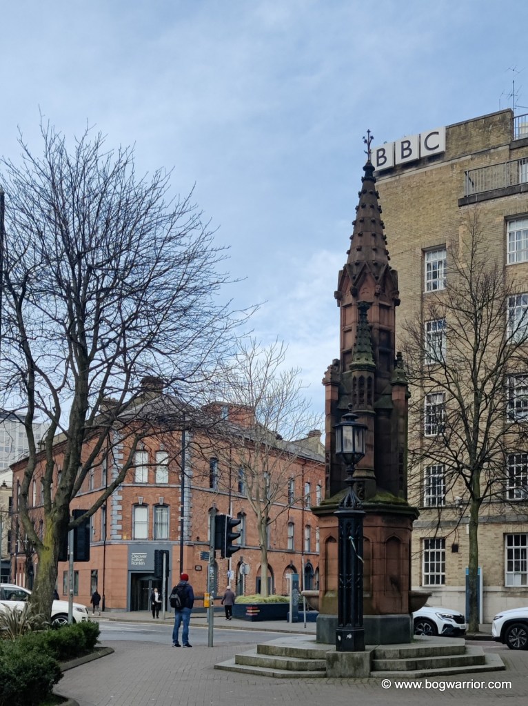
Walking around the city centre, it was interesting to see the mix of old and new. And as someone who grew up in the era when this part of the world was constantly in the news for the wrong reasons, placenames, buildings and signposts looked very familiar.

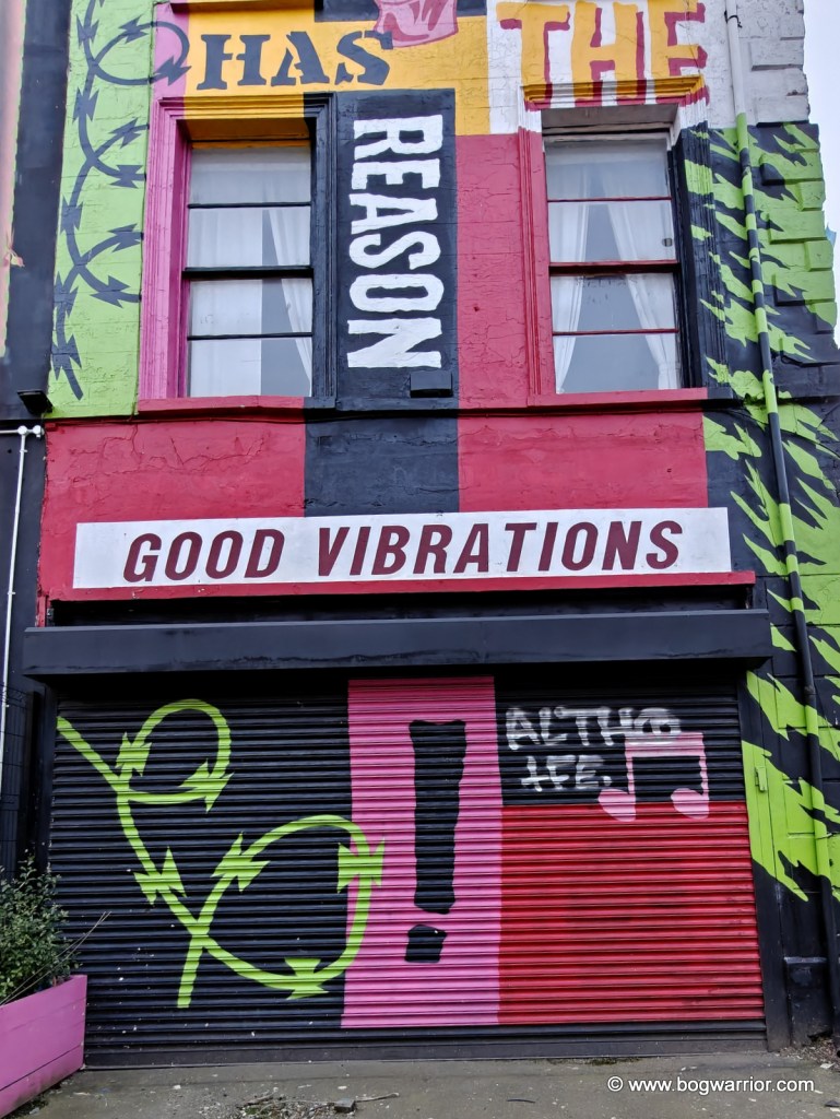
Good Vibrations, maaaaan

I spotted this disused building on Great Victoria Street. It was one of the places in the area where Terri Hooley ran his Good Vibrations record shop. For anyone who hasn’t got a clue what I’m on about, Terri Hooley was (and is) Belfast’s so-called “Godfather of Punk”. As well as running a record shop called Good Vibrations, he established an indie record label. Its most famous release was Teenage Kicks by The Undertones. A film about Terri’s life was released in 2012

Titanic

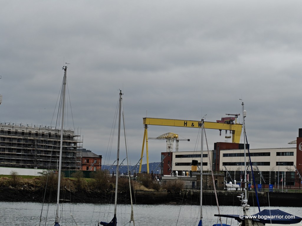
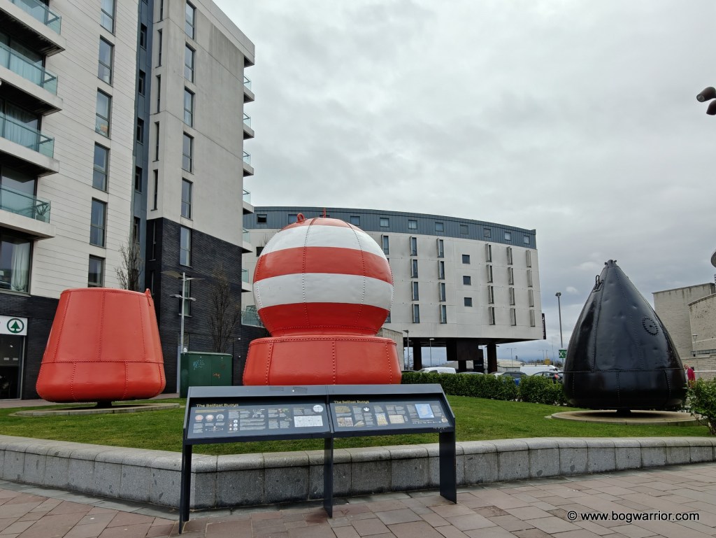
Because Belfast City Centre is so compact, the walk out to the Titanic visitor centre didn’t take that long. It was also a great way to take in the riverside area of the city, and to see how Titanic and Game of Thrones have benefited the region. There are many shiny new buildings in the area. These, presumably, have replaced something that was much grittier.

Replica Titanic – one of many

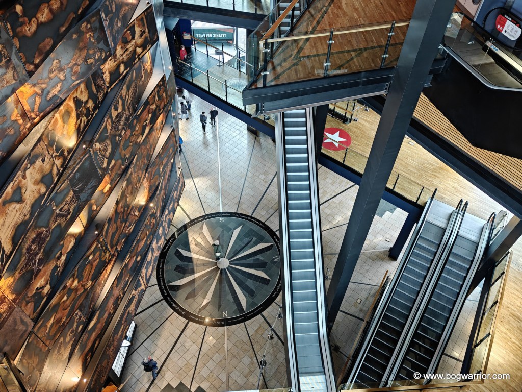
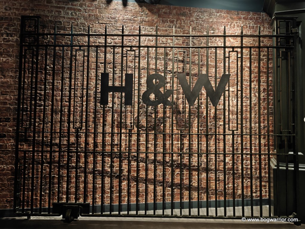
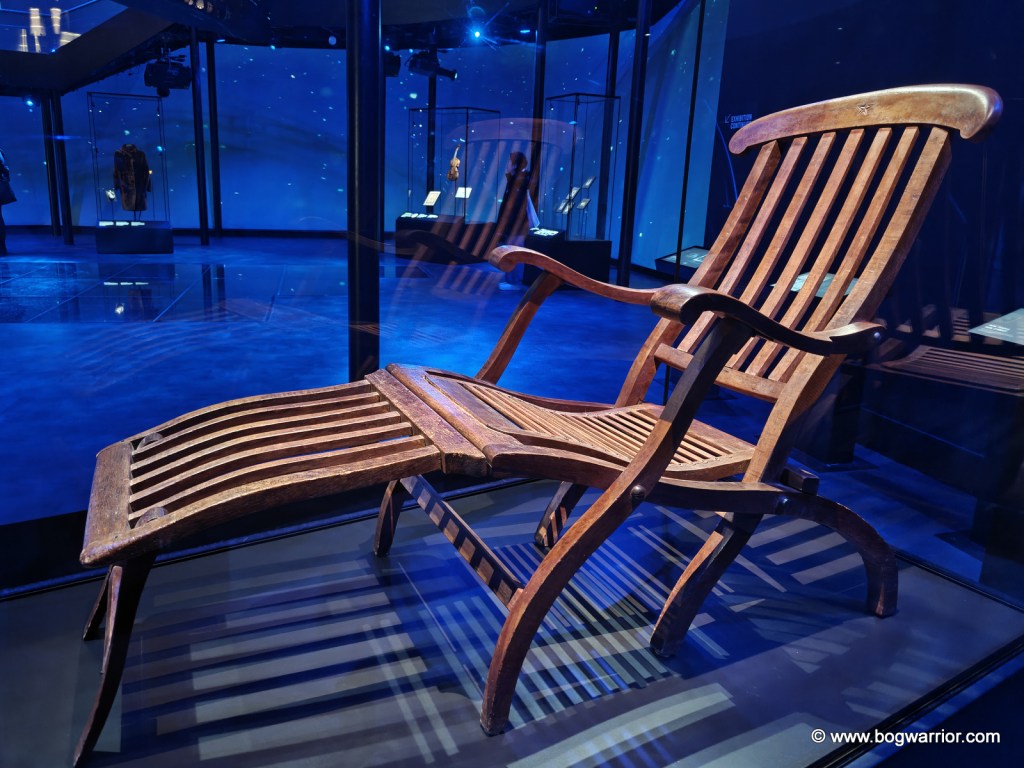
I’m a sucker for shiny floor exhibitions, so the Titanic Experience was right up my sleeve. It’s a self-guided tour which takes in everything from the social history of Belfast right up to the aftermath of the disaster. It has pretty much everything you’d expect from such an exhibition – multimedia displays, rolling interviews and documentaries, and reproductions of carpets/crockery/cabins on the ship. Another highlight of the exhibition is a fairground-style ride through the shipyard. It’s accompanied by sounds from the shipyard, voiceovers and heat. The building itself overlooks the original slipways where the Titanic and its sister ship, the Olympic, were launched.

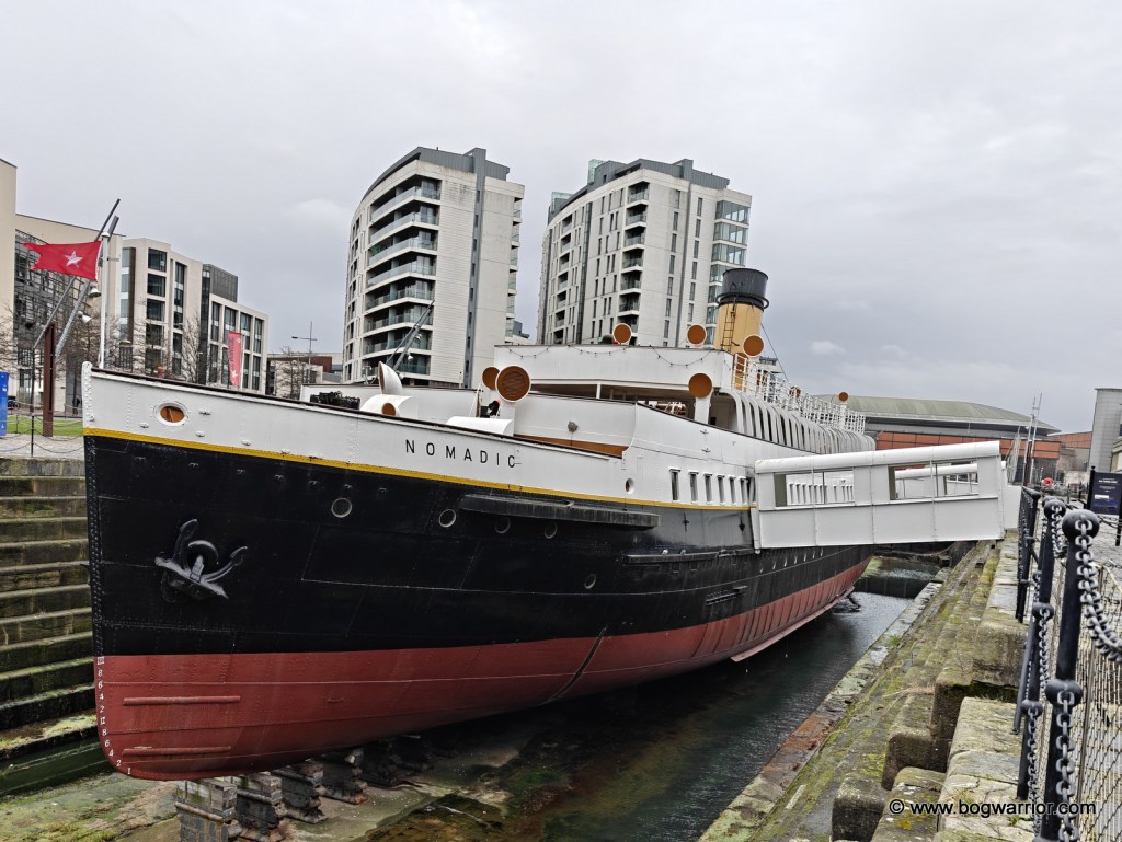
SS Nomadic

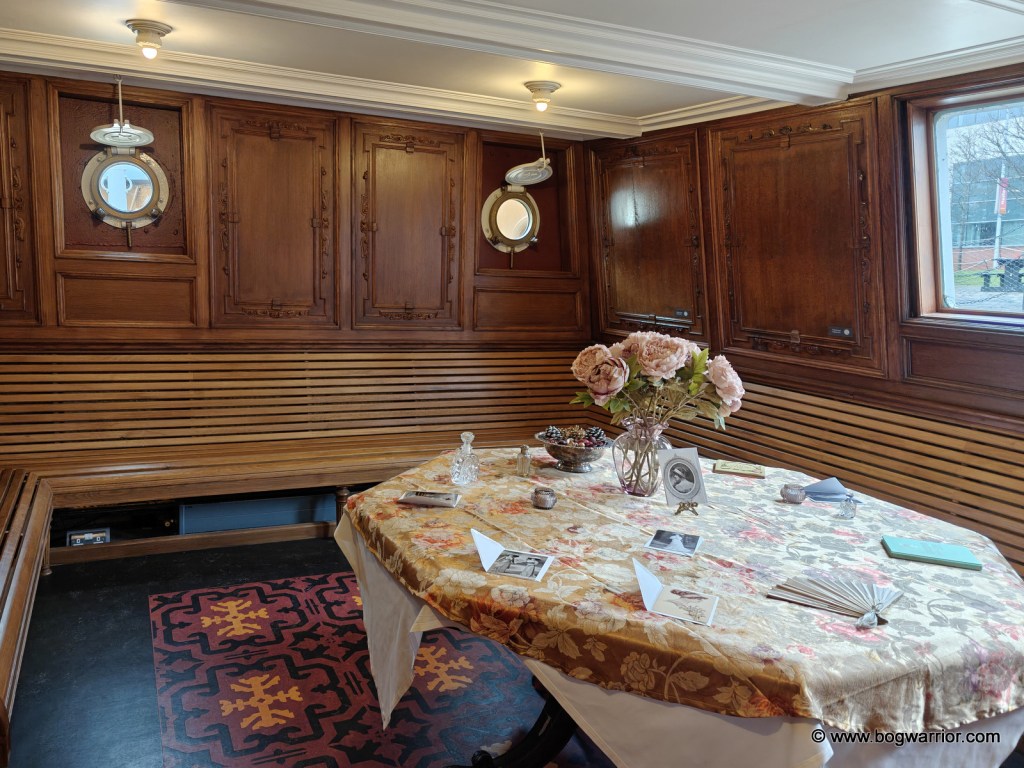
The entry ticket also gives you access to the SS Nomadic, which is to be found in a nearby dry dock. This is the last surviving White Star Line ship and was built at the same time as the Titanic. It was designed by Thomas Andrews, who was also responsible for designing the Titanic. As it happens, it’s also the only surviving ship designed by Andrews. SS Nomadic was essentially a shuttle bus on water and was used to ferry first and second-class passengers from the dockside out to their ship. In 1911, it brought passengers from Cherbourg out to the Titanic. It continued to operate as a working tender for 50 years before being converted into a floating restaurant/casino in Paris. It was purchased in 2006 by the local government and restored. It’s well worth a visit, even if it’s just to observe the differences between the 1st and 2nd class areas.

I caught a Glider bus back to the city centre (I bought a ticket at the bus shelter near the Titanic centre) before doing some shopping/exploring. Yet again, I wished that we hadn’t gutted our rail network in the mid-20th century because the train is such a nice way to travel. The train back to Dublin was an Irish Rail one but was no less nice than the Enterprise one from the day before. Seeing as I started this post with a photo of a railway station information board, I might as well end with one as well.

The last leg – Heuston Station

Getting There

An hourly train runs between Dublin and Belfast – see Irish Rail or Translink’s website for more info. Belfast Grand Central railway station is within walking distance of several hotels and of the city centre.

Belfast has a regular bus service, including some Glider bendy buses.

As well as the famous black taxi tours, there are open-top bus tours which also come recommended.

Inis Meáin – the low key one and all the better for it

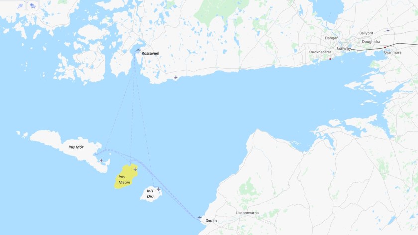
Having visited Inis Mór and Inis Oírr, it was only right that I should make a trip to the remaining one of the three Aran Islands. Inis Meáin (or Inismaan) is the least visited of the three islands, making it a very different experience from the other two.

Getting Around 🚶‍♂️

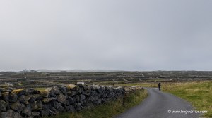
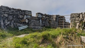
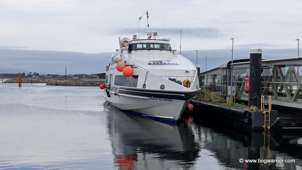
Straight away, you know things will be a little different here. For starters, there is no direct ferry – the boat which dropped us off was en route to Inis Mór and would make the same trip in reverse later on. Although the ferry was busy enough for mid-September, only a handful of people disembarked at the pier on Inis Meáin. And then…nothing! The piers on the other two islands are at the heart of their main villages and visitors are greeted straight away with the trappings of modern-day tourism. Bike hire shops, locals offering guided tours by horse or minibus, food trucks, signs for nearby shops and businesses. Here, the pier is 3km away from the main village, which is located inland. In a way, this is symbolic of the way this island works. You have to work that little bit harder to to get around but it is definitely worth it. There were no bikes to hire, perhaps the summer season was over, so walking was the only game in town.

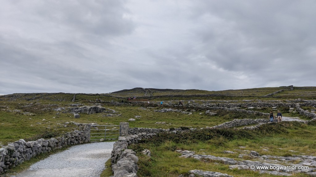
The long walk into town

As with the two other islands, the signposting is a bit sketchy. There are some signs for loop walks but really, your life will be made easier if you have a good printed map or decent map app on your phone. I used Google Maps and found it very useful, both for finding my way around and for calculating how long it would take to walk to the various highlights. Being on Shank’s mare meant a few places on the “to visit” list were snipped out. Still, there was plenty to see on the day. More than anything, a day out on this wonderful island proved to be a wonderful way to get away from it all and to clear my head.

Clochán

A Clochán is a dry stone hut which is built from stone and has a corbelled roof. Many of them were monastic huts and there are some dramatic examples around. The best known of these are probably the beehive huts on Skellig Michael off the south coast. Star Wars fans will recognise them from The Last Jedi. Like the other clocháns which are found in Ireland, it isn’t known when this one was built but it is many centuries old. Unfortunately, this one isn’t in good condition but the roof is still intact. As well as the little front entrance, it has a side window. You can still crawl into the hut but I chose not to – the photos online were enough to satisfy my curiosity! There is a small, very old graveyard overlooking the clochán.

Ancient monastic hut or clochán

Dun Chonchúir

Because I was on foot, I didn’t get more than a cursory look at the outer edges of this extensive and ancient fort. I was also conscious of how much time I’d spent going to and from Dún Aongasa on Inis Mór, only to conclude that it looked far more impressive from the air… It is the largest of the stone forts on the Aran Islands and is built on the highest point of Inis Meáin. There are a few small clocháns in its inner keep which were repaired in the 19th century.

Dún Chonchúir

Séipéal Mhuire gan Smál

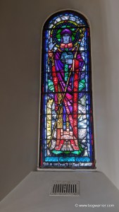
I have to admit that modern-day churches don’t do a lot for me, especially the 19th century gothic revival ones. However, the 1930s church here is lovely and worth a visit. Most of the stained glass windows are from the Harry Clarke Studio1 and they’re exquisite. The altar was crafted by James Pearse, the sculptor father of Irish revolutionaries Padraig and Willie Pearse. James died in 1900 (i.e. long before this church was built) so I assume this altar had been in an older island church before this. (Please let me know)

Teampal na Seacht Mac Rí and St. Kennerg’s Bed

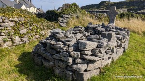
On the way into the village, I walked past the remains of Teampall na Seacht Rí and St. Kennerg’s Bed or grave which is right beside it. There isn’t much left to see of the church but the grave beside it is more striking. Kennerg was the daughter of the King of Leinster and was highly venerated at one stage.

St Kennerg's Bed or grave. Stands beside the ruins of Teampall na Seacht RíSt Kennerg's Bed or grave. Stands beside the ruins of Teampall na Seacht Rí
St Kennerg’s Bed or grave. Stands beside the ruins of Teampall na Seacht Rí

Lunch

Armies and occasional bloggers don’t like to march on empty stomachs. And so, lunch was the next important milestone. Teach Ósta is the only pub on the island so being barred is not a wise move. Happily, they serve hot food and cold drinks – the chicken goujon wrap was very welcome. It was also a chance to hear the locals chattering as gaeilge because Irish is the first language here. There is a shop nearby but it was closed for lunch so I didn’t get to see what it was like. Like this pub, I believe it’s the only one on the island.

Teach Osta – the only pub in town

Teach Synge

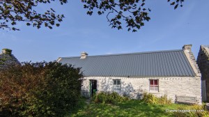
The Irish writer John Millington Synge (1871-1909) is known for his connection to the Aran Islands. His travelogue “The Aran Islands” was published in 1906. It proved to be a far less controversial work than his play “The Playboy of the Western World” (1907). When it was staged in Dublin, and later in New York, the audience rioted. Happily, visiting this old cottage where he used to holiday is a far more peaceful experience. It is still in the hands of the family who owned it in Synge’s time and it has been restored to look like it did in his time. It is hoped that the cottage can be thatched again, which will bring it back to what it looked like in Synge’s time.

Restored cottage where playwright JM Synge lived for a time

Carrowlisheen/Diarmuid and Gráinne’s Bed

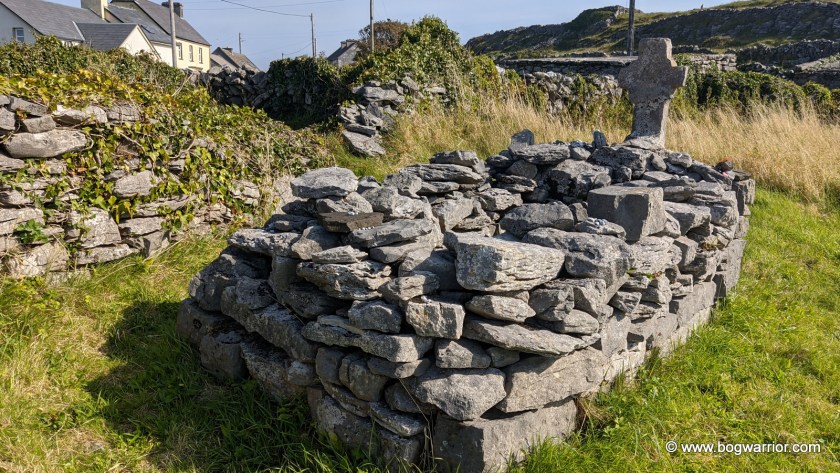
The Pursuit of Diarmuid and Gráinne (or “Tóraíocht Dhiarmada agus Ghráinne” if you did Leaving Cert Irish fadó fadó) is a tale from Irish mythology. Gráinne, the daughter of the High King of Ireland, decides she can’t go through with her arranged marriage to the ageing Fionn McCumhaill (Finn McCool of Giant’s Causeway fame). Diarmuid, a hunky and younger warrior catches her eye and she magically enchants him so she can avoid marrying Fionn. Before you can say “Bye Granddad”, the pair go on the run and thus the adventure begins. The story inevitably ends in tragedy but not before the couple criss-cross Ireland. There are many prehistoric sites around Ireland which bear the name “Diarmuid and Gráinne’s Bed, including this one. It is actually a megalithic wedge tomb which is looking the worse for wear now.

One of the many Diarmuid and Grainne's Beds around Ireland. In reality it is a megalithic wedge tomb
Diarmuid and Gráinne’s Bed. Not very comfy.

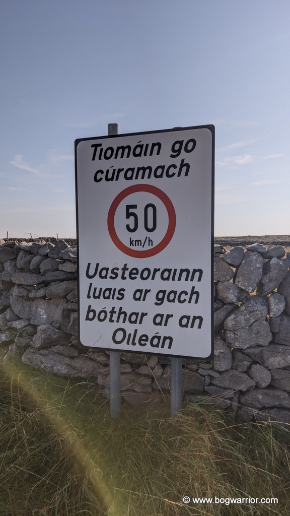
After this, I headed back to the pier to catch the ferry back to Rossaveel. The walk took me past the small airport which brings people to and from the mainland. It also gave me a chance to look at this chatty sign telling motorists to drive carefully, and that the speed limit is 50km/h on the island. After that, it was a short walk to the pier and the wait for the ferry home.

Speed Limit is 50km/h

Getting There

Inis Meáin is served all year round by ferries which leave from Rossaveel in Co. Galway or from Doolin, Co. Clare. Aran Islands Ferries operate out of Galway and you can either travel to Rossaveel Pier yourself, or catch their shuttle bus from Galway city centre. Two ferry companies sail from Doolin, Co. Clare – the Doolin Ferry Company and O’Brien’s Ferry. Aer Arann fly from Inverin in Galway if you fancy something different or like small planes.

As you will have gathered by now, a visit to Inis Meáin is a much more low-key affair than the other two islands. If you want the place almost entirely to yourself, go off-season and enjoy the solitude (in a nice way). Details on bike hire are sketchy but it would appear that during the summer season, bikes are available at the pier. It is possible to bring your own bike to the island but if you intend to do so, contact the ferry company first.


  1. Harry Clarke(1889-1931) was a renowned Irish stained-glass window artist. After his death, the studio he founded continued to produce high-quality stained glass windows. ↩︎

Inis Oírr – sunken churches and wrecked ships

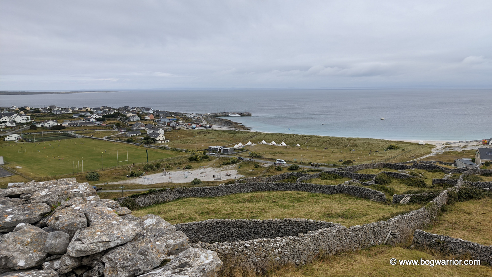
In 2023 I visited Inis Mór, the largest of the three Aran Islands. You can read about that here. Anyway, in 2024 I decided to visit the other two. First up was Inis Oírr (Inisheer) which is the smallest of the three. Despite its small size, there’s plenty to see, and you’ll still be back in time for the ferry. I’ve added more of the travel details at the end, if you’re still awake by then.

Getting Around 🚤✈️🚲🏇🚶‍♂️

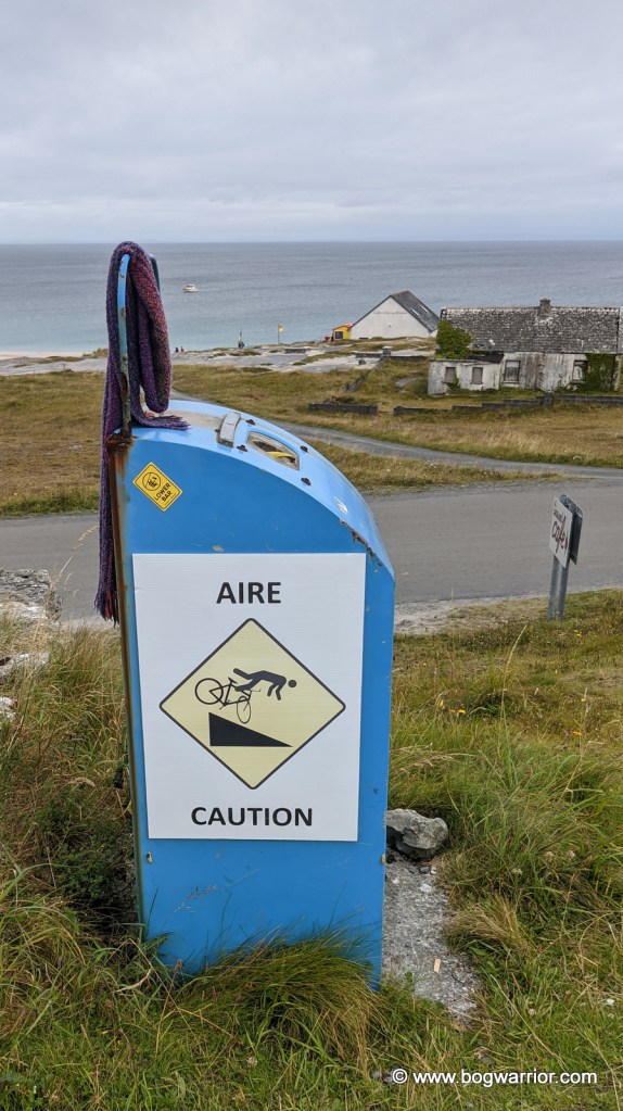
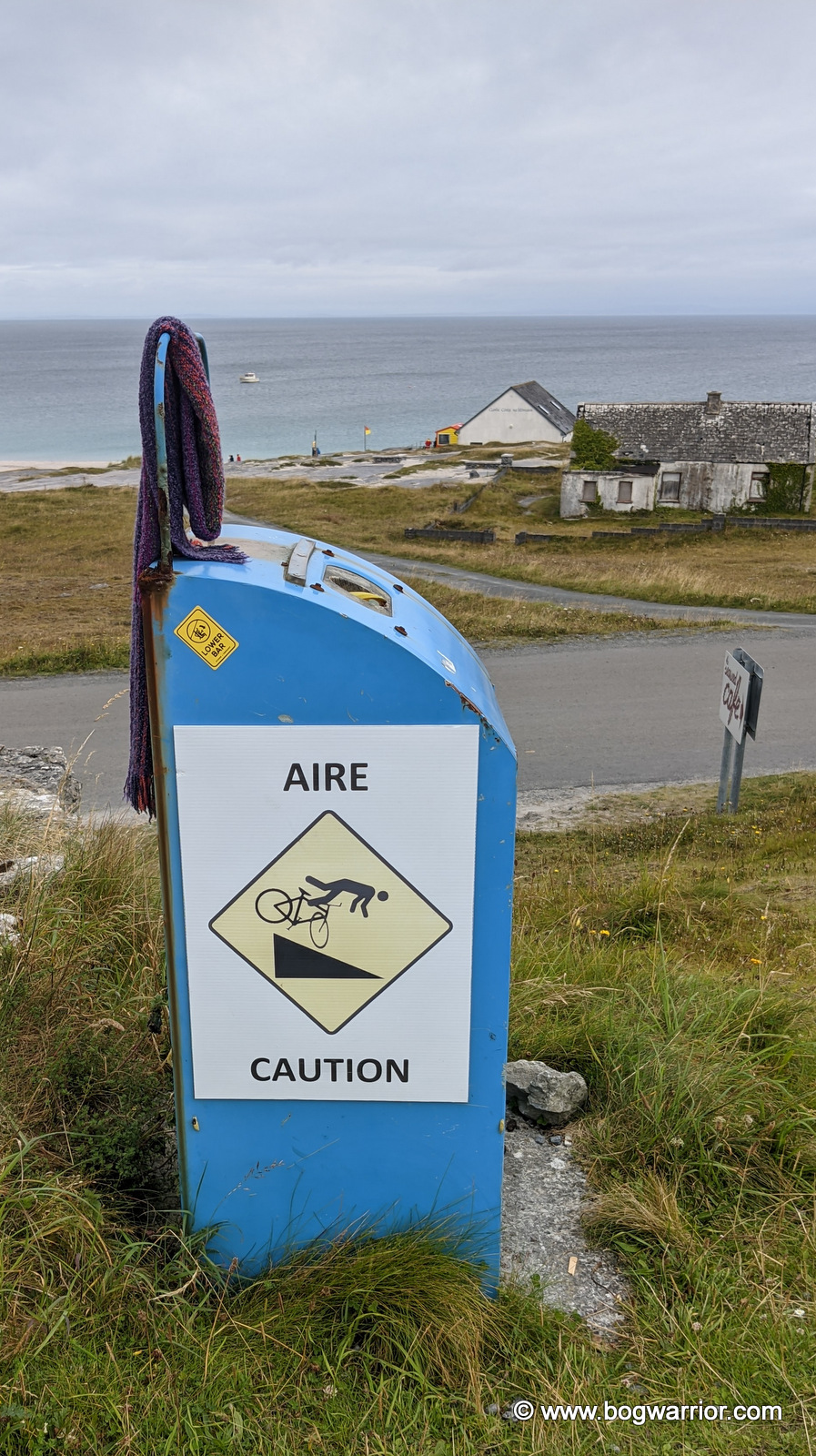
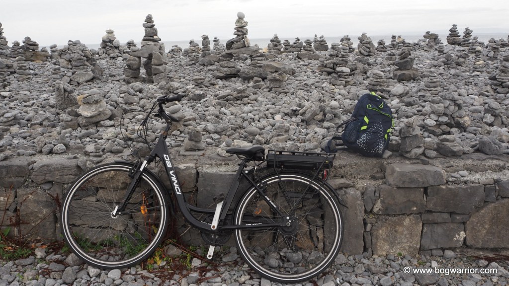
I hired a bike from one of the two hire businesses that operate near the pier. Inis Oírr is relatively flat, so even if you don’t hire a fancy e-bike, you can still whizz around quite comfortably. The road surfaces are generally OK, but there are uneven patches, and you never know who might come around the corner. So be careful when going downhill—the language of eating concrete transcends international borders.

These warning signs also mean you can stop pedalling for a while

O’Brien’s Castle

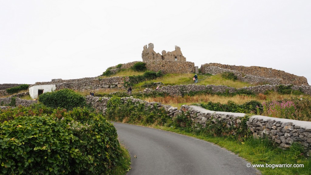
O’Brien’s Castle (aka Furmina Castle) is one of the most noticeable buildings on the island. It’s a ruined 15th-century tower house built on top of a hill. The ruins themselves are a bit ho-hum, but they’re in good condition. Once upon a time, wooden stairs linked the floors, but they have long gone. The view from the grounds is worth the short climb, though.

O’Brien’s Castle

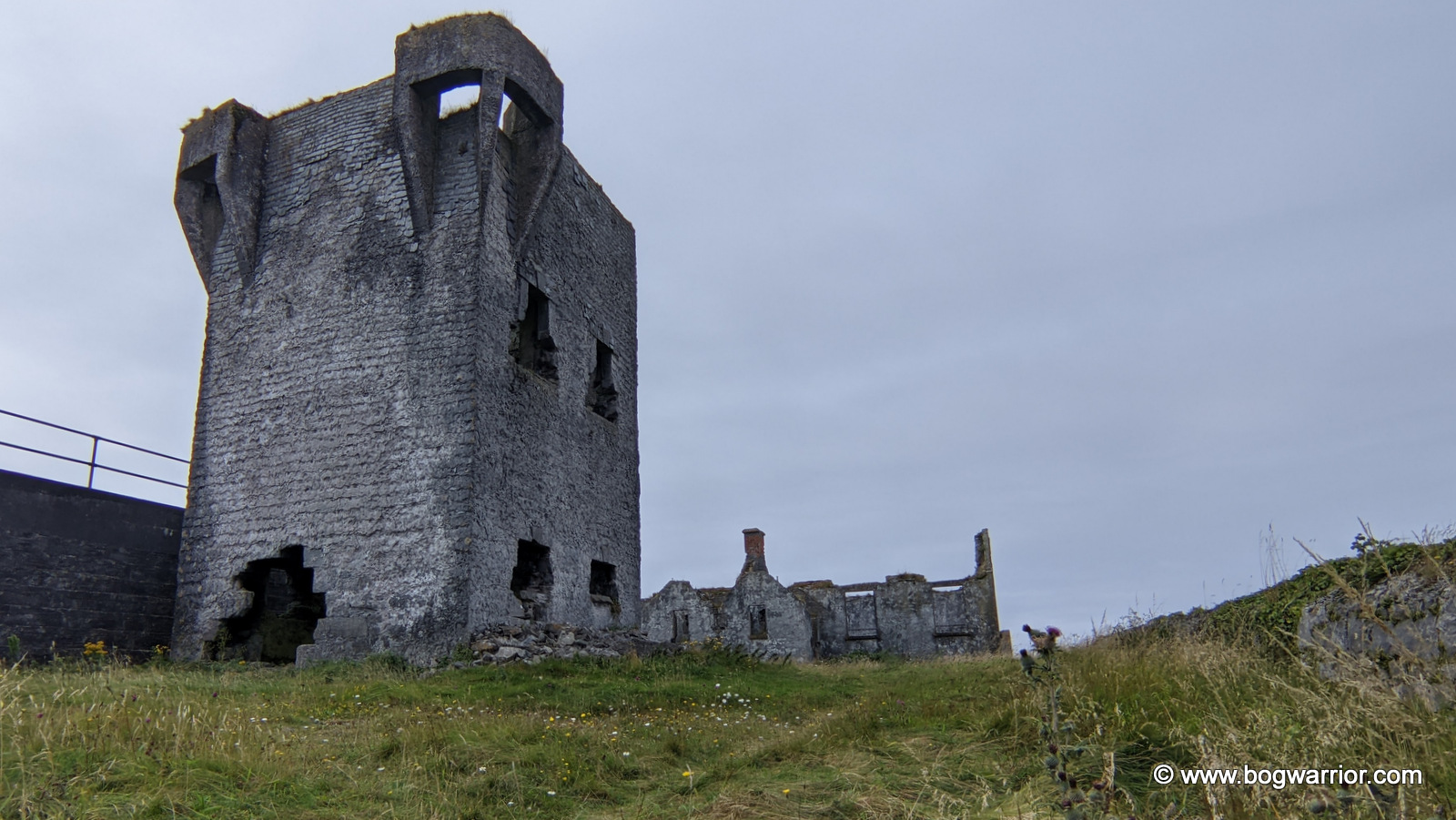
Further up the hill is An Túr Faire, a ruined Napoleonic signal tower. It was built in the early 19th century when it was feared that the French might attempt to invade Ireland. The grounds were locked up so this photo was taken through the gate. There are several more of these dotted around the Irish coastline.

An Túr Faire

The sunken church/aka Teampall Chaomháin

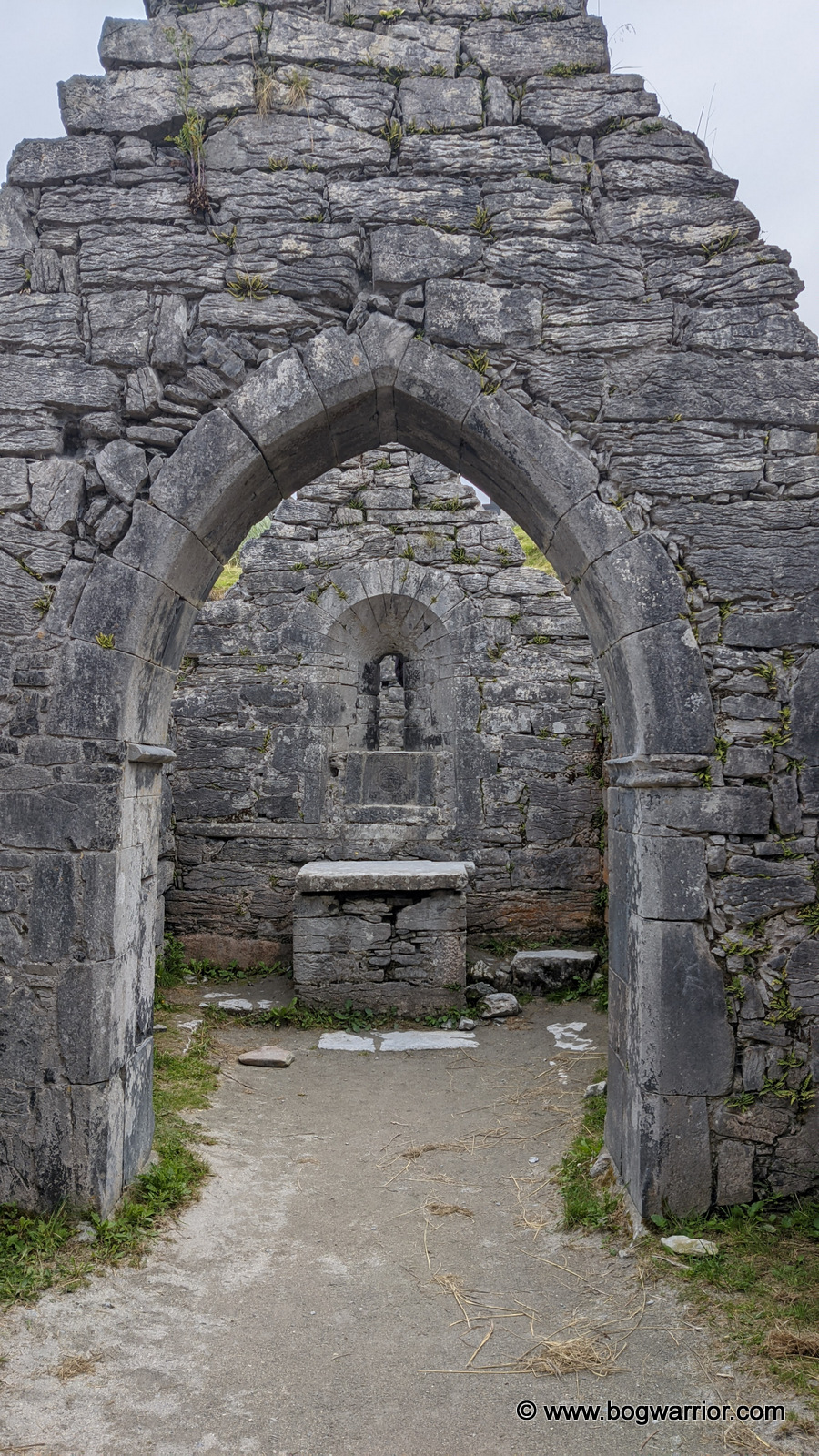
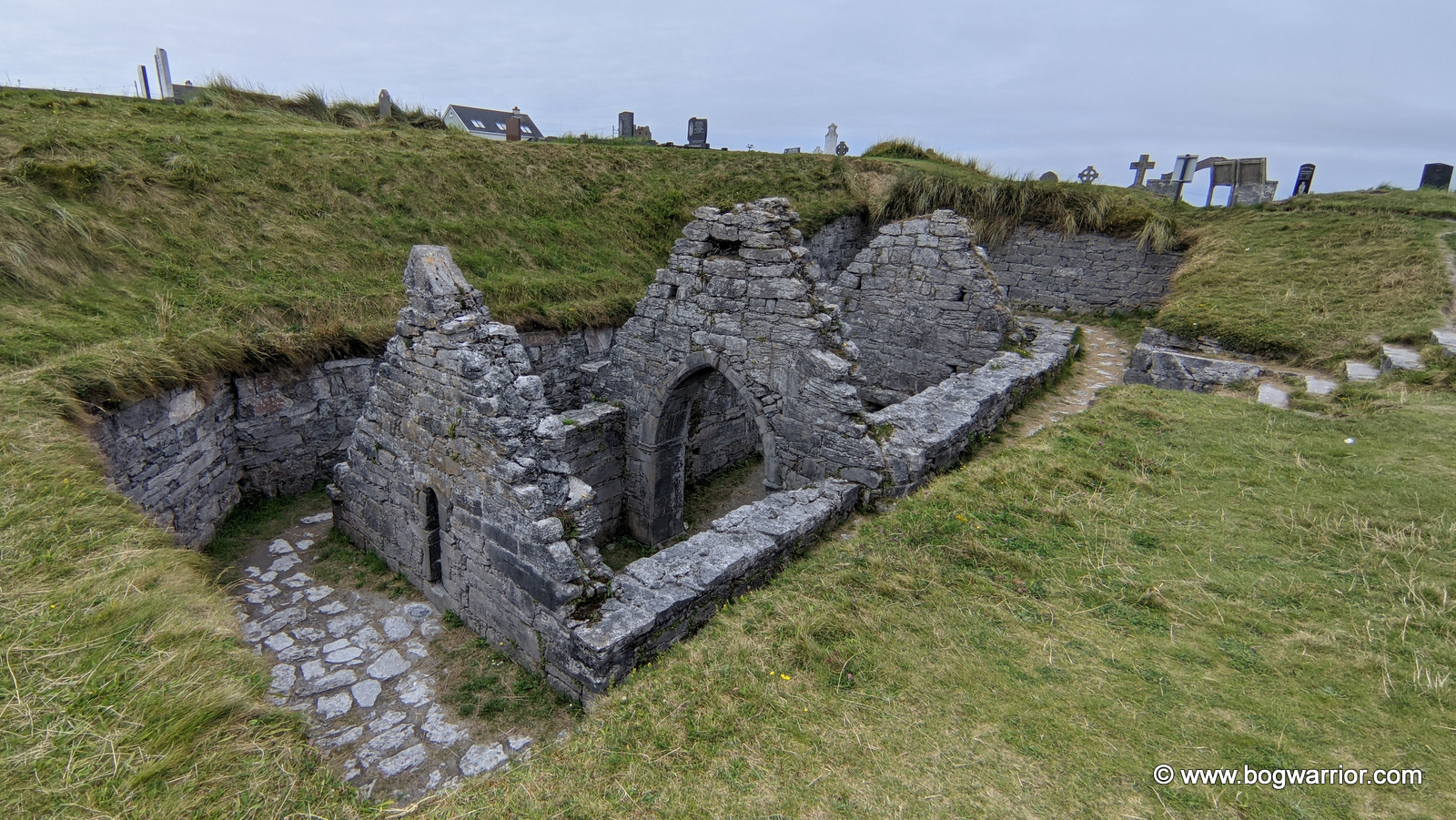
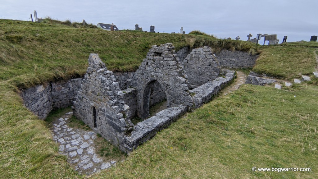
This is a ruined church found in the local cemetery. Its age is up for debate—although the OPW sign nearby indicates that it’s a 10th-century church, other sources claim otherwise. What isn’t up for debate is that this church is largely below ground level and looks like it has sunk into the ground. In times past it was buried by shifting sands from the nearby beach. There is a little roofed tomb nearby, which is believed to house the remains of St. Caomhán who may have founded this church. You can walk into the church, and that is an unusual experience. It is odd to be looking straight down into the ruins rather than up and to find a church window at waist height. This may have been a larger church in times past—the chancel is what remains now.

St. Caomhán’s Church

The Plassey Shipwreck

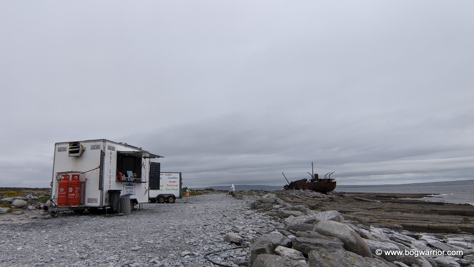
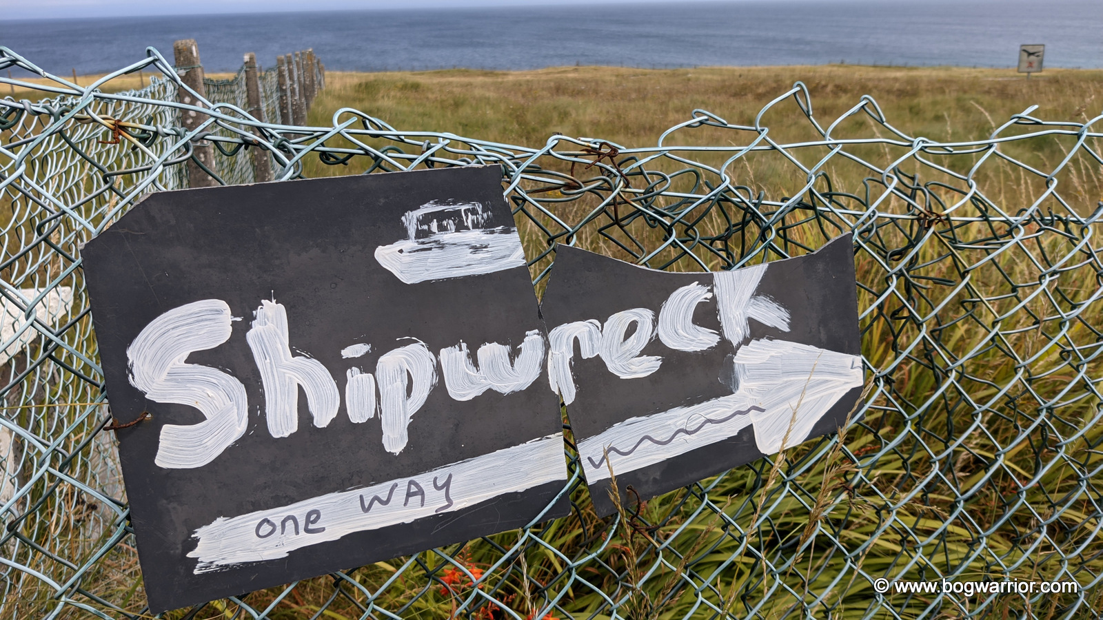
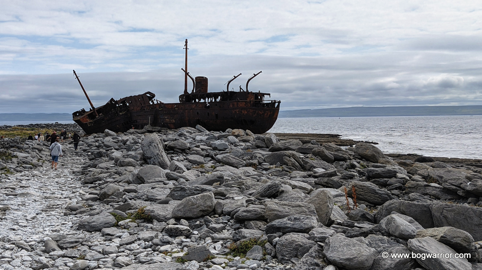
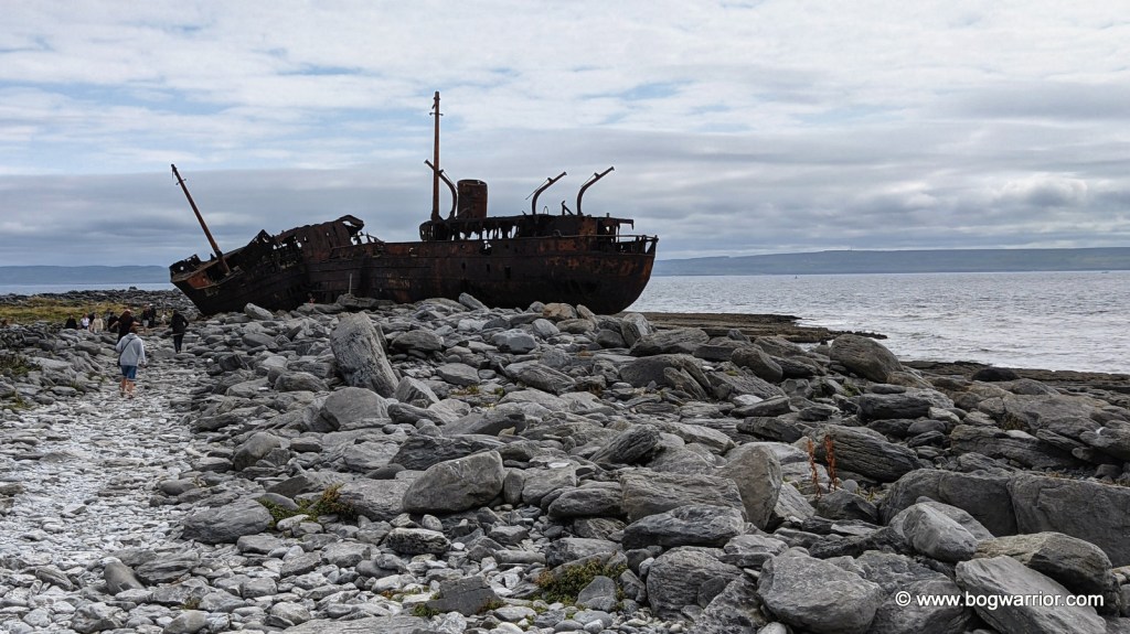
This rusting shipwreck dates all the way back to WWII. It was built in 1940 by the British Royal Navy and was originally called HMS Juliet. It served its time in the war and was later converted into a cargo vessel. It was renamed Peterjohn. In 1951 the Limerick Steamship Company purchased it and renamed it MV Plassy/Plassey (spellings vary). It continued to operate as a cargo vessel until 8th March 1960. On that day, the ship was caught up in a severe storm and was driven up onto Finnis Rock off Inis Oírr’s coast. The crew of 11 was rescued by a group of islanders. Some weeks later, another storm hit, and this one brought the Plassey onshore. It has remained here ever since, slowly deteriorating and occasionally shifting if an Atlantic storm is particularly ferocious. It became better known in the 1990s when it was featured in the opening titles of the sitcom Fr. Ted. Somebody made a sign directing visitors to the shipwreck (see gallery below), but it too is starting to succumb to the elements.
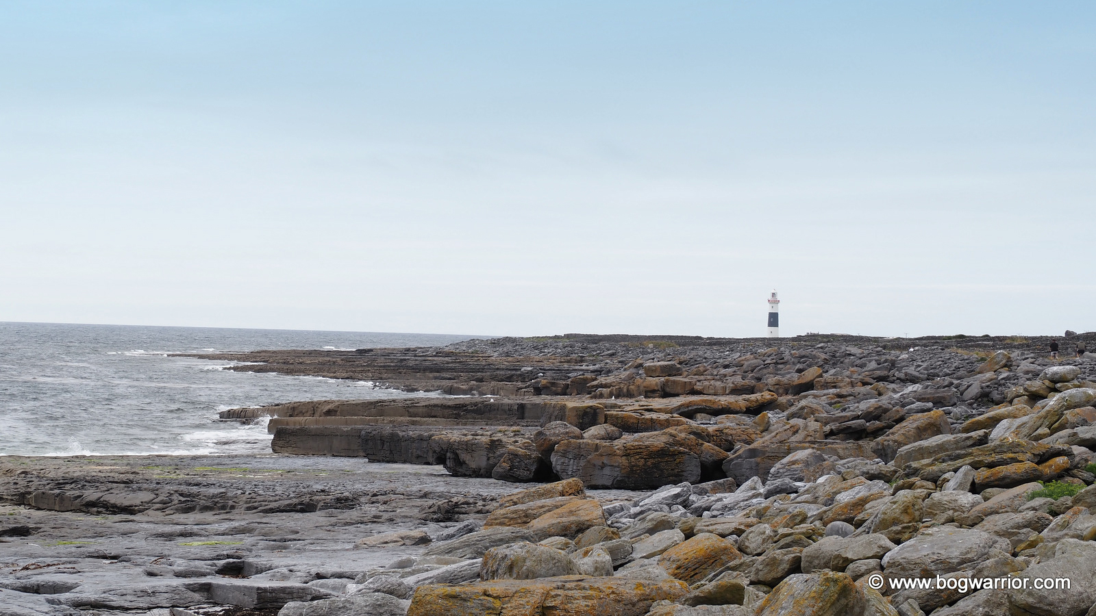
Ironically, the shipwreck isn’t too far from a lighthouse…

Eatenin’ and Drinkenin’

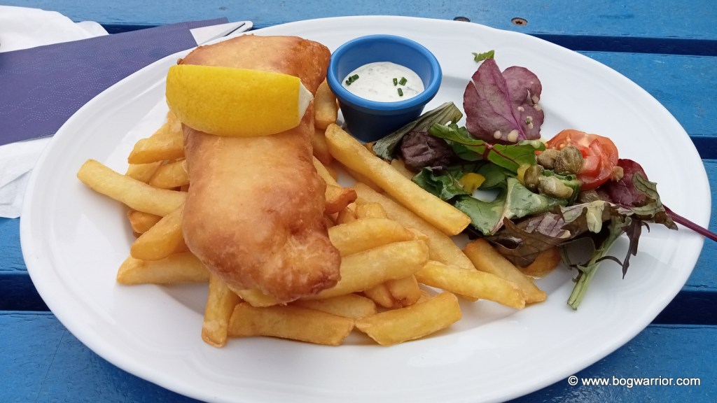
You can, of course, bring your own food to Inis Oírr but if you’d rather grab something on the island, there is plenty of choice. There are some pubs, cafés, and food trucks serving all sorts of food, snacks, and drinks. I kept it simple and had some fish & chips from Tigh Ned. Other eateries are available.

Fish & Chips from Tigh Ned

If you have never been to any of the Aran Islands, I think Inis Oírr is a great place to start. It’s a small island, so you should be able to tick off most, if not all, of the places of note in one day. The locals are friendly too, and the scenery is beautiful. You can buy Aran sweaters here too—according to online reviews, they are cheaper than what you’d pay in Dublin. All the shops and pubs seem to take card payments, so there’s no need to load up on cash.
Getting There

Inis Oírr is served all year round by ferries that leave from Rossaveel in Co. Galway or from Doolin, Co. Clare. Aran Islands Ferries operate out of Galway, and you can either travel to Rossaveel Pier yourself or catch their shuttle bus from Galway city centre. Two ferry companies sail from Doolin, Co. Clare—the Doolin Ferry Company and O’Brien’s Ferry. Aer Arann flies from Inverin in Galway if you fancy something different.
Inis Oírr can be explored on foot, but most people hire a bike from Joyce Bike Hire or Rothaí Inis Oírr. Both hire out all sorts of bikes, from e-bikes to tandems to dog buggies. If you fancy something less energetic, you can hire a local to bring you around the island by horse and cart or by minibus.

Gallery.

Click on a picture to launch

Inis Mór – the one with the big fort and the mad swimming pool

In 2023 I decided to visit Inis Mór (aka Inishmore), which is the largest of the three Aran Islands. In 2024 I went on to visit the other two, which I will write about soon.

The Aran Islands is a group of three islands off the west coast of Ireland. To many people, they are associated with Aran knitwear. These are distinctive, chunky woollen jumpers and cardigans traditionally made for fishermen and other natives of these islands. Because they’re out in the Atlantic, they’ve developed their own distinctive feel and identity. There is far more to these three islands than woolly jumpers, as you’ll see if you read on 😁 I’ll elaborate on the specifics at the end of this post because I don’t want to become the equivalent of those recipe websites. You know the ones – all you want is the recipe so you can make something different for dinner yet you find yourself forced to scroll past 15 paragraphs of waffle about Great Grandma Alice, some family pets, the weather and a family recipe which has been handed down through 6 generations. Enough!

Getting Around 🚤✈️🚲🏇🚶‍♂️

For this visit, I hired an electric bike and loved it! There are two main routes around the island and because I had this extra firepower, I chose the more challenging high road. The nice thing about travelling around all three Aran Islands is that there isn’t that much vehicular traffic, so it’s very safe. The roads can be a bit bumpy in places so watch out for that. The natives speak Irish as their first language but they have fluent English. Enjoy resurrecting your rusty Leaving Cert Irish…
Dún Aonghasa

A postcard from almost the edge

Dún Aonghasa is a prehistoric fort and probably Inis Mór’s best-known tourist attraction. It is amazing for what it is, and it looks pretty impressive from the many aerial photos you’ve undoubtedly seen. This is where I’m going to be controversial and argue that it isn’t a must-see if time is of a premium to you. I honestly think it looks more impressive from the air than when you’re on the ground. Anyway, there is a small visitor centre which has lots of information, then an 800m walk up to the fort. This takes you over some rough ground, which proved to be a challenge to the flip-flop-wearing people I spotted. The fort itself consists of 3 dry-stone ramparts and the remains of a fourth. Perhaps its most distinctive feature is where it stops abruptly at the edge of a sheer cliff. One misstep and into the Atlantic you go. Not that it stopped the many people who wanted to take a selfie. The views are nice though.

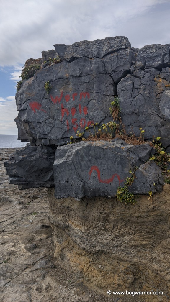
The Wormhole/Poll na bPéist

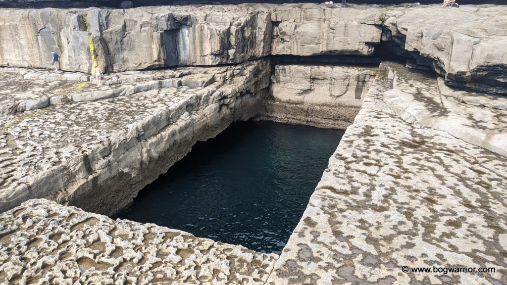
Somebody goes diving

This was my favourite part of the day. The Wormhole is a naturally-occurring blow-hole which is 25m long and 10m wide. It’s almost a perfect rectangle which makes it even more striking. It came to prominence when Red Bull held diving competitions here in 2014-2017. There are videos on YouTube if you want to watch lunatics at work! There were no TV crews or diving rigs to be seen when I visited but it made it no less spectacular. Several people dived into the water while I was there.

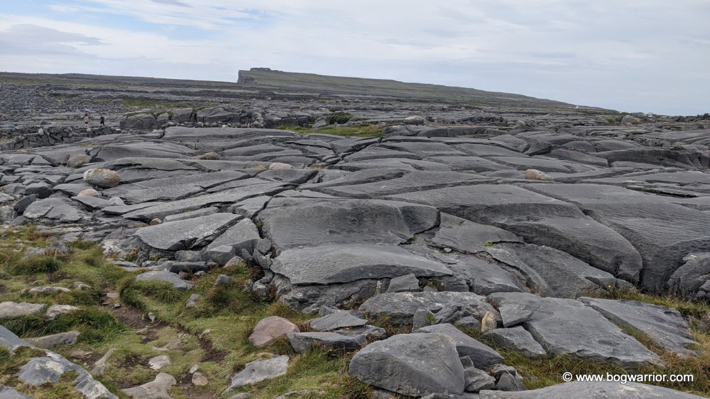
The walk out to the wormhole can be a bit tricky so I strongly advise you to read and read again the directions for how to get there. We took the scenic route which turned out to be a bit of a time-sink, though it did take us across a spectacular karst limestone landscape. A kind soul used a paintbrush and red paint to give directions to the Wormhole. Should you decide to try and find this amazing place, they will quickly become your favourite person.
Kilronan

Kilronan is the main village on the island and where you’ll start and end your journey. It has shops of all sorts, including ones selling the inevitable Aran Sweaters. It also has a Spar supermarket which looks to be reasonably large. Because there was a ferry to be caught, I didn’t get to see as many of the highlights of the island as I’d like to have. This, naturally, is a reason to return.

Modern twists on a traditional design

Getting There

All three islands can be reached by ferry or by air. Aran Islands Ferries in Galway runs regular ferries from Rossaveel in Connemara. They have a shuttle bus which brings people from Galway City centre out to the ferry. Alternatively, you can travel directly to Rossaveel and depart from there. On this occasion, I took the Galway shuttle bus/ferry combo.

Two ferry companies operate out of Doolin, County Clare: Doolin Ferry Company and O’Brien’s Ferry.

There are airstrips and small airports on all three Aran Islands. These are serviced by Aer Arann, which flies out of Inverin Airport in Galway. The flights are quite short so this may suit some people more.

Getting Around

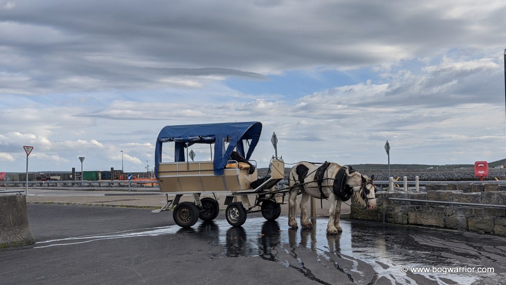
As you might have guessed by now, you won’t be bringing your own car to Inis Mór. You can walk, of course, but there are other options. You can hire a mini-bus or a guided tour by pony and trap. These can be pre-booked, though in my experience there always seemed to be people offering these to people disembarking from the ferry.

Bikes for Hire on Inis Mór

Aran Islands Bike Hire , which is located just off the pier in Kilronan, has a good selection of bikes on hand. As well as regular bikes and the aforementioned e-bikes, they hire out buggies and tandems.

Other advice

Google Maps is your friend. Even though there is very little Google Streetview coverage of the Aran Islands, the directions to the various places still work fine. Signposting on Inis Mór is patchy so definitely don’t rely on that.

Inis Mór is too large to get around in one day so take a look at a map and decide what you want to see this time around. You won’t get to see everything if you’re on a day trip.

The shops and pubs all take plastic, so you don’t have to load up on cash before you leave.

Wear sensible footwear if you want to do any exploring at all.

Derrigimlagh Bog – Be Not Here Now

Derrigimlagh is a large expanse of blanket bog, halfway between Clifden and Ballyconneely in County Galway. Perhaps because of its location so close to the Atlantic coast, it has played host to two significant events in 20th-century history. One by accident, the other by design.


Marconi’s Wireless Station (1907)

On 12th December 1901, the world’s first Transatlantic wireless message was sent from Poldhu, Cornwall to an abandoned hospital in St. John’s, Newfoundland. The man receiving the message was the person who had created the technology behind it – one Guglielmo Marconi. After this early success, Marconi began the search for a site more suitable for a commercial operation. He finally settled on Derrigimlagh Bog which was 7km from Clifden, Co. Galway in Ireland. There were several reasons for choosing Derrigimlagh. It was close to the Atlantic Ocean on Ireland’s west coast, there was no shortage of land to build what was needed and there were ample natural resources onsite. The peat bog and the lake would supply enough fuel and water to keep everything running smoothly. The radio station began operating in 1907, transmitting messages to its sister station 3,000km away in Glace Bay, Nova Scotia.

AI colourised photo of the site 1

The radio station at Derrigimlagh was quite an extensive complex. The antenna system stretched out for more than half a kilometre and consisted of 8 masts, each 6m high. A power station was built onsite with six steam-powered generators in the building – three were always in operation, with the other three as backup. A huge condenser building (106m x 23m) was built to store the energy that had been generated and to supply enough “oomph” to get those messages across the Atlantic. (I hope my old science teacher isn’t reading this thoroughly unscientific explanation). Several other buildings were constructed onsite, including housing for workers and a social club. The station did what it said on the tin, and operated successfully for a number of years.

Digital recreation of the antennae, as seen on the BBC’s Coast 22

As the technology improved, Derrigimlagh was superseded by a more powerful station at Caernarfon in Wales. In July 1922 it was attacked by Republican forces during the War of Independence and some of the buildings were damaged. That proved to be the death knell for the station. It was closed and the contents sold off.

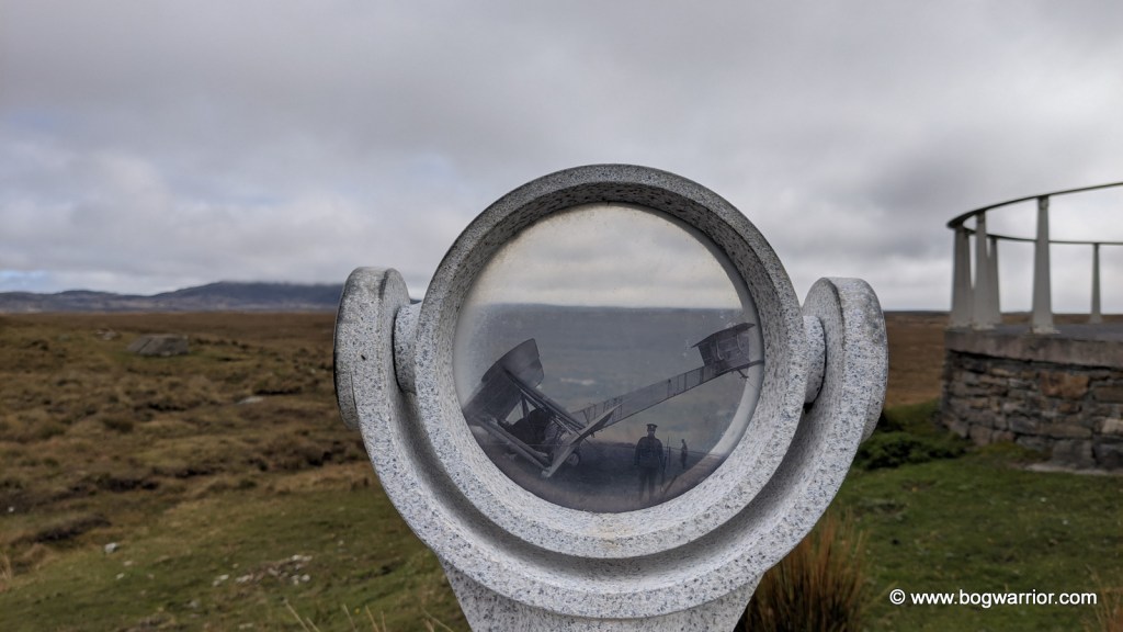
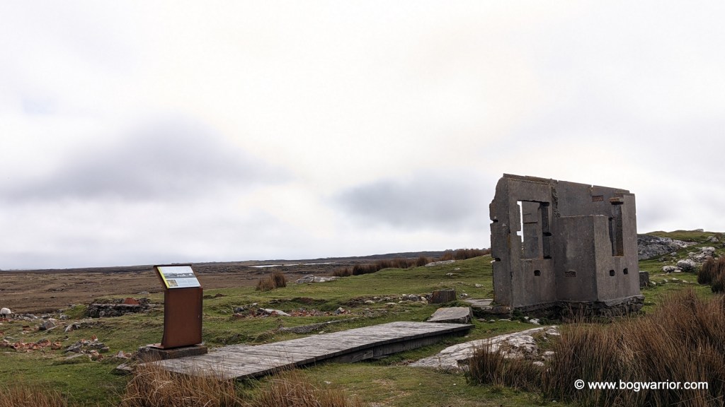
All of this means that despite the significance of this site, and the extent of what used to be here, visitors could easily go for a long walk and return to their cars oblivious. Happily, lots of work has been done to remedy this. Along with pathways and boardwalks, the site is dotted with information stops, photoscopes and helpful signs. All of these definitely help to make you understand how large and unique this site once was. It’s so frustrating that there isn’t even one building standing any more. All we have are tantalising glances of foundations, a few fragments of wall, loose bricks and concrete bases. The photoscopes in particular are a welcome addition because you can look through them and see old photos against the current landscape.

In 2010, a smaller version of the station was recreated for the BBC series Coast. If you’re interested, the episode can be seen here (scroll on to 9:26)

Alcock & Brown’s Soft Landing

On Saturday 14th June 1919, two British pilots – Captain John Alcock and Lieutenant Arthur Whitten Brown set off from Lester’s Field, St. John’s, Newfoundland, Canada in a modified Vickers Vimy aeroplane. Both had flown aeroplanes in World War 1 but they had a slightly more peaceful mission in mind this time. The Daily Mail newspaper (yes, that one) was offering a prize of £10,000 for the first non-stop Transatlantic flight. That’s over €500,000 in today’s money, just in case you were wondering.

Their aircraft was a twin-engined bomber which had been modified for the crossing. Out went the bomb racks and in came extra fuel tanks and oil. To stay warm, both wore electrically heated clothing, Burberry overalls, fur gloves and fur-lined helmets. Alcock took the controls of the plane while Brown did the navigation.

Inevitably, the flight was incident-packed and not in a good way. 3½ hours into the journey, the plane’s wind-driven electrical generator failed. That deprived them of radio contact, their intercom and the heating. They then encountered thick fog which made navigation impossible – Alcock nearly crashed the plane into the sea after losing control of the aircraft. Now freezing cold because of the lack of heating, they encountered a snowstorm. After nearly 16 long hours in the plane, the duo finally made land again. They spotted the antenna at the Marconi station and that helped them get their bearings. Alcock landed the plane in what he thought was a nice green field. Anybody familiar with that part of Connemara would simply say “lol”. Anyway, both men emerged safe and sound from their plane. The plane itself was in reasonably good condition despite the flight but it soon began to sink into the soft ground.

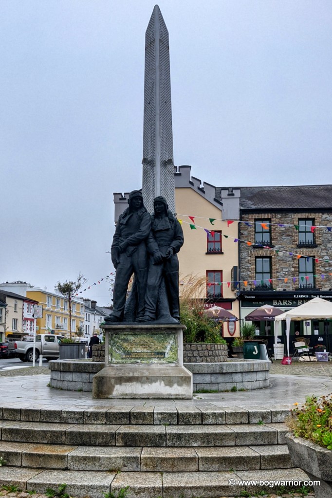
The plane was soon removed from there and can now be seen in the Science Museum in London. The spot where they landed in Derrigimlagh is now overlooked by a viewing platform. Strangely, there is a second Alcock and Brown monument in the area but it’s on the L5132 road to Errislannan.

To sum up, if you want to spend a pleasant few hours walking in the fresh air and taking in the bleak but beautiful Connemara scenery you could do worse than come here.

How to get here: Navigating to here should be marginally less arduous than Alcock & Brown’s flight across the Atlantic. Derrigimlagh Bog is on the R341 between Clifden and Ballyconneely. There is a small car park at the entrance. Needless to say, wear comfortable footwear and at the very least, bring some water with you. You’ll be out there for a while.

Footnotes

  1. Original version of this photo is from the Laurence Collection and was digitised by the National Library of Ireland ↩︎
  2. Screenshot taken from Coast, Series 5, Episode 5 “Galway to Arranmore Island” (2010) ↩︎